Route
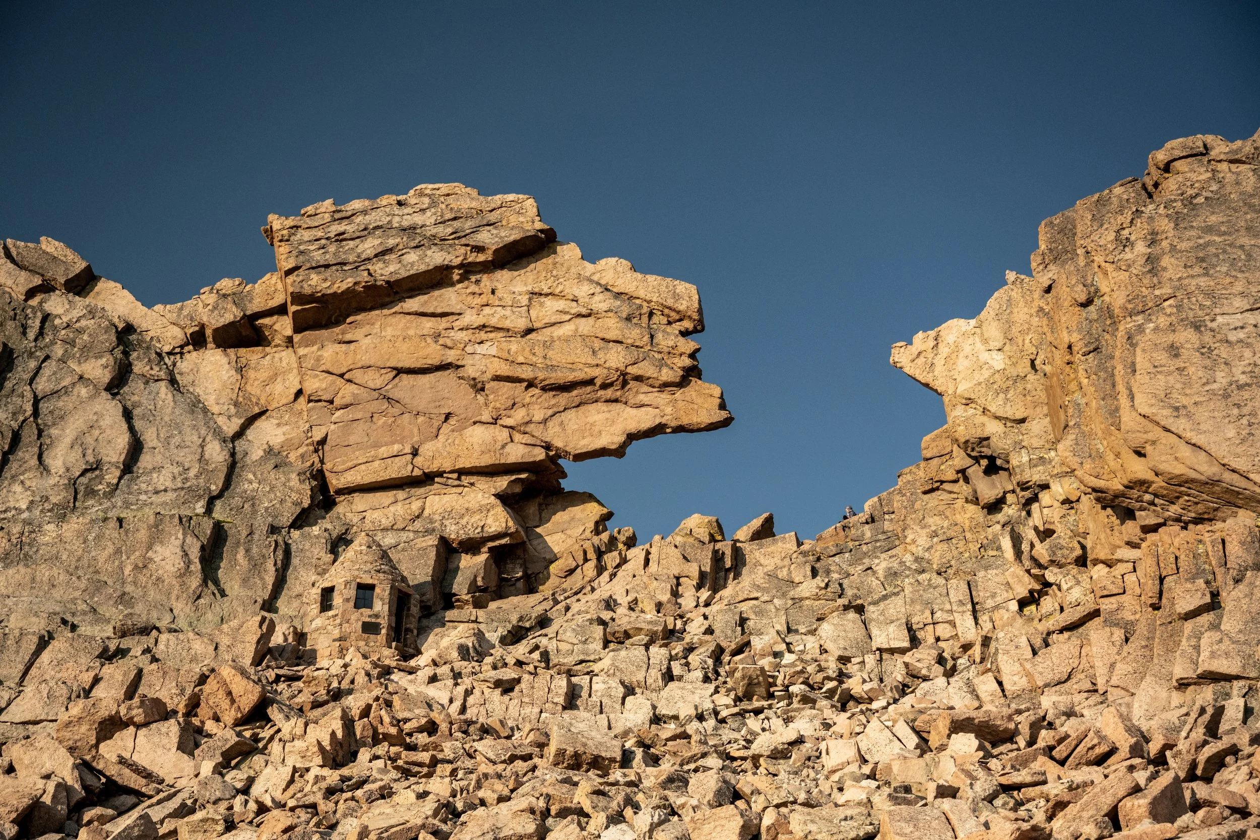
The summit of Mount Sneffels, Mount Sneffels Wilderness
UPDATE: We have recently identified a couple areas with private property concerns. Iceman will have limited availability to update the website or GPX track until after his 2026 thru hike attempt. To the best of our ability, we have listed the temporary solutions on the Resources page.
The Great Colorado Route is an ever-growing project. As it currently stands, it is simply a proposed line on a map. Much of the route follows existing trails and routes that other hikers have completed, but conditions change, trails fall into disuse, maps may contain inaccuracies, and the GPX track should be considered only an approximation.
Hikers attempting the GCR—whether as a section or in full—should understand that there is no guarantee the proposed route, including the main line or alternates is accurate, navigable, or suitable for thru hiking. The GPX track is provided for reference only and is not a substitute for proper planning, route-finding, navigation skills, and sound judgement in the field. Anyone attempting this route assumes full responsibility for their safety and decisions while traveling in the backcountry.
GCR creator, Donovan “Iceman” Rice, will attempt a continuous thru hike of the proposed route during the 2026 season. We will then update the route based on his experiences and future feedback.
Table of contents
Main Route
Last updated: 3/14/26
The proposed main route of the Great Colorado Route is approximately 1700 miles long with 381,000 feet of vertical gain (the equivalent of climbing Mount Everest 13 times). It’s broken down into 32 sections, each worthy of a section hike.
The sections are sequenced for a counterclockwise thru hike starting and finishing at Black Canyon of the Gunnison National Park, though hikers are welcome to hike in any direction they wish, whether clockwise, counterclockwise, or some combination of both. Hikers will want to factor snowpack and summer heat into their planning.
Various sections of the main route require off-trail travel, scrambling, and route-finding. To the best of our ability, we have designed the route to avoid rock climbing or the need for ropes. Hikers uncomfortable with the possibility of encountering unexpected or inappropriate terrain should consider waiting until we have scouted the proposed route to evaluate conditions. We will update this website’s information with more thorough descriptions (e.g., grade of scrambling, degree of exposure, water access) over time.
Hikers are encouraged to download the full route with all the proposed alternates (download instructions at the bottom of this page), review each section description, examine the routes on a topo map, do independent research, check weather forecasts, and stay flexible when determining what options make the most sense to them.
Alternates
To accommodate hikers of various abilities and interests as well as the possibility of bad weather making certain sections unsuitable (e.g., lightning above tree-line and flash-flooding in canyons), the Great Colorado Route provides multiple alternates. As with the main route, the side tracks are informational only, may contain inaccuracies, and have yet to be verified or scouted in person.
Last updated: 3/14/26
Red is the main route. This is the intended route for the GCR, but we are realistic in recognizing it may not always be feasible.
Green are trailed alternates. They are generally less difficult and may be used to bypass more demanding sections.
Purple are alternates that involve at least some off-trail travel (even if other portions are on trail). Most of these are bailout and bypass options from the main route, though some are provided for extra adventure.
Yellow are sidequests (routes that are in-and-out and don’t reconnect to the GCR). Sometimes these are options for walking directly into town (e.g., Steamboat Springs) as opposed to arranging or improvising a ride. Other times these are scenic spots that are near the GCR but couldn’t be routed directly through (e.g., Maroon Lake).
Hikers are welcome to mix and match any route they like or create their own custom routes (e.g., a sidequest up Pyramid Peak in the Elk Range).
Low Route Option
Last updated: 3/14/26
For hikers wishing to remain on trails and avoid scrambling as much as possible, here is one of several possible constructions using the proposed alternates from above. As with above, these tracks are for reference only and may contain inaccuracies.
For viewing simplicity, this map uses the following color scheme. Green is on-trail (including roads). Purple is off-trail.
Please note that this route isn’t the only option for trailed versions of the Great Colorado Route. Downloading the full GPX (see below) and reviewing the various possibilities is suggested.
Hikers are also welcome to construct their own routes to fully avoid scrambling, such as roadwalking from Crawford to Hotchkiss to avoid Gunnison Gorge in Section 1—though this would unfortunately also miss Black Canyon of the Gunnison National Park.
We will continue to update these tracks based on future scouting missions and feedback from hikers.
GPX Download Instructions
UPDATE: We have recently identified a couple areas with private property concerns. Iceman will have limited availability to update the website or GPX track until after his 2026 thru hike attempt. To the best of our ability, we have listed the temporary solutions on the Resources page.
The Great Colorado Route GPX is available for free download. Though donations are by no means expected, any donation (whether 1 penny per mile, $1 per section, or whatever you feel comfortable contributing) is greatly appreciated and goes towards the maintenance of this website, establishment of the route, and future scouting missions that will verify that the proposed routes are accurate and suitable for hiking.
The route can be downloaded using the buttons below or from the interactive maps above.
The “GPX Download” button takes you to a Google Drive link.
The “Open in CalTopo” button takes you to CalTopo where the route can be exported (Export → Format: GPX).
The “Open in Gaia” button takes you to Gaia where the route can be exported. Gaia’s preview display struggles to load all 221 tracks and their stats, but that doesn’t impact downloading (Export → GPX).
What GPS app should I use?
The GCR is brand-agnostic for GPS apps. That said, the route’s creator (Iceman) is the most familiar with, likes the features of, and used Gaia when constructing the GCR.
Given the amount of route-finding and off-trail navigation that certain sections of the GCR require, we suggest GPS apps that have offline functionality and offer topo maps, slope-shading, satellite view, and public land layers (as well as familiarity with how to use these features).
Some GPS apps do not preserve the color scheme when importing a route. We apologize for this inconvenience. The tracks containing the main route are titled “GCR ## [Section name]” (for example: “GCR 32 West Elk Wilderness”).
Waypoints (e.g., water sources, campsites, trail intersections) are currently not available, though we hope to provide them in the future.