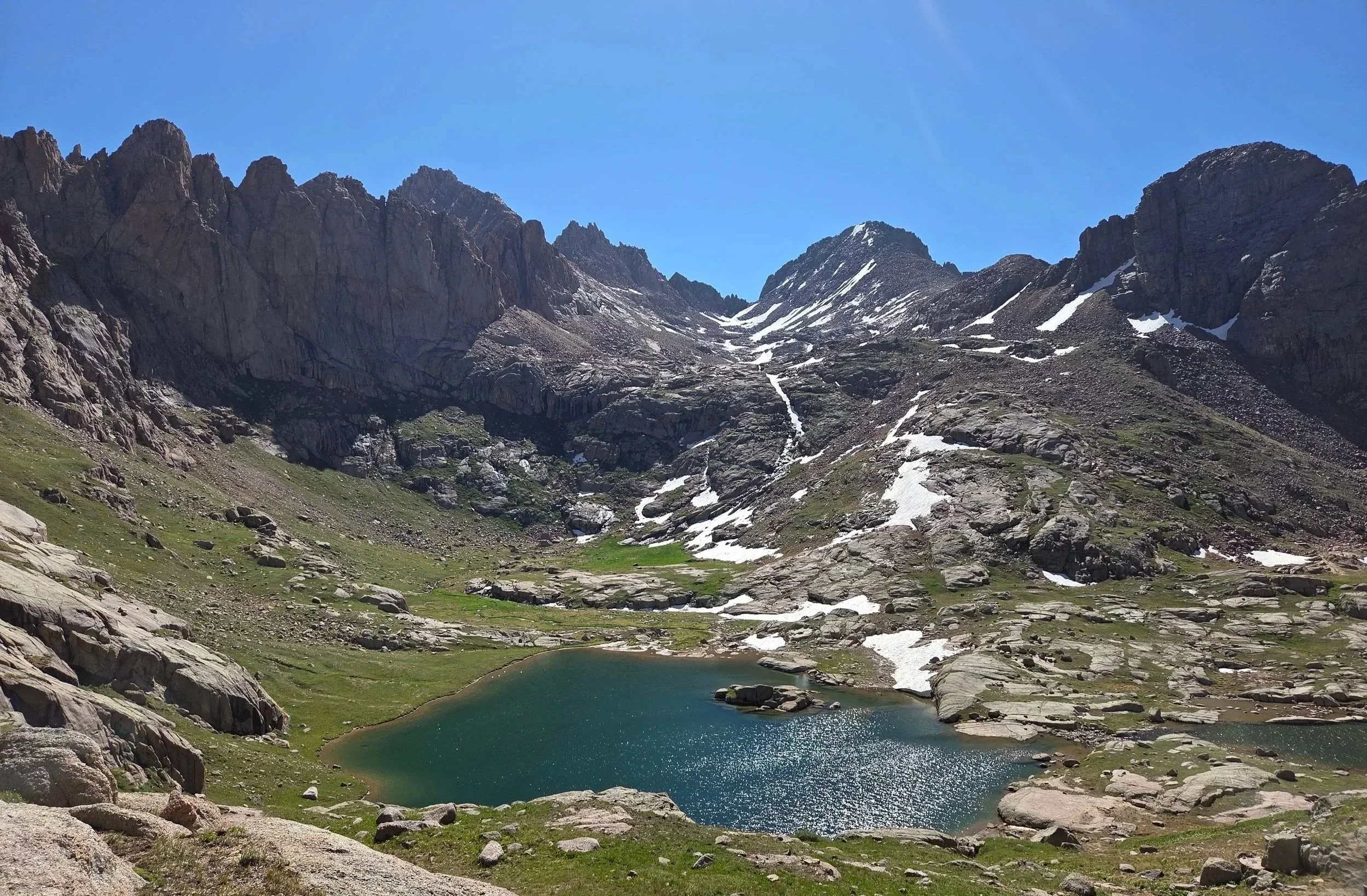
Segment 10
Weminuche High Route
Distance: 37.8 miles
Vertical: +15552', -14449'
Highlights:
Upper Ruby Meadow
So much of the Needles Range
Highland Mary Lakes
Main Challenges:
Technical terrain
Route finding
Weather exposure
Snow in early and late season
Scrambling Grade: Sustained Class 2 & 3
Exposure: Moderate
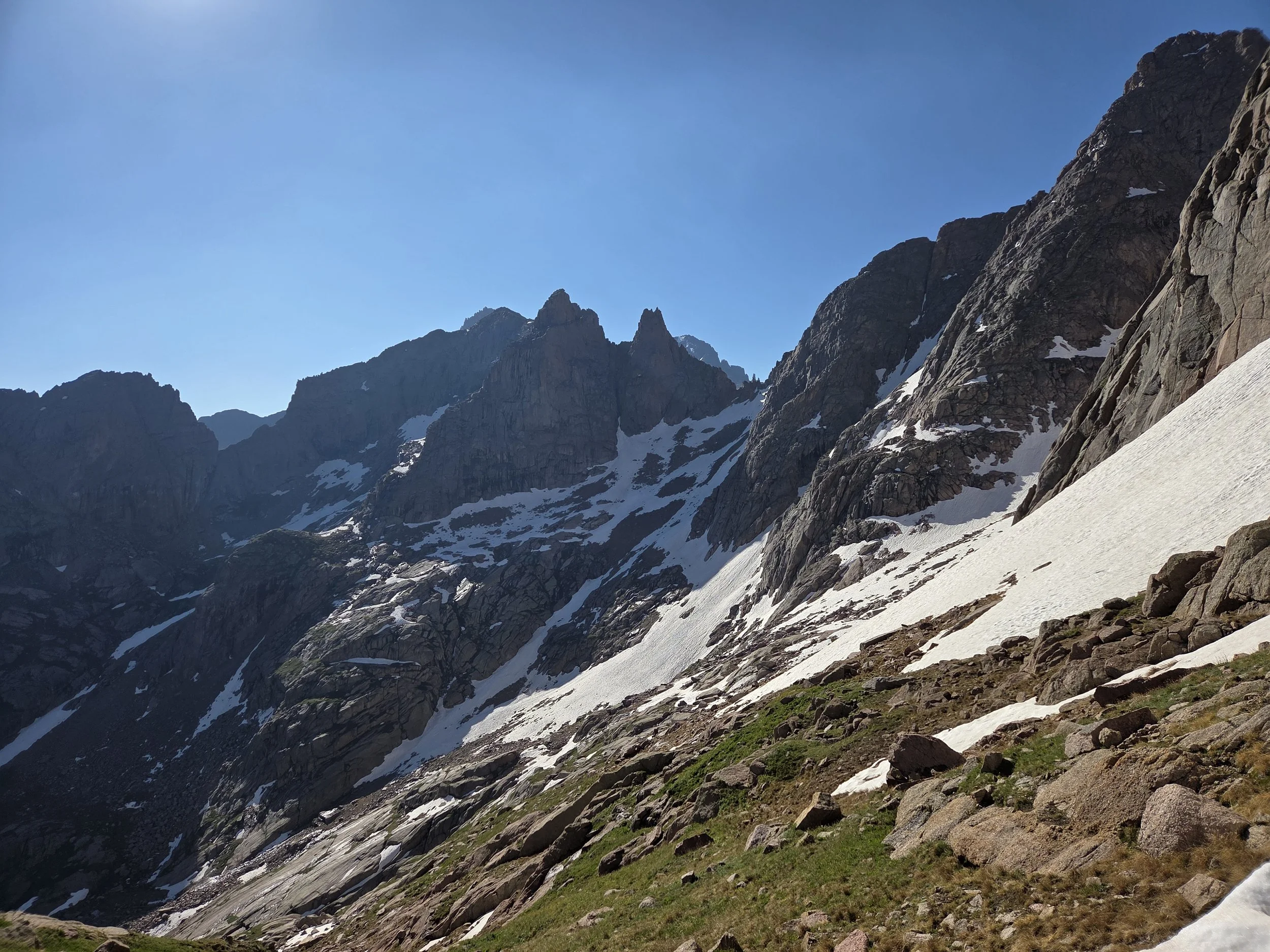
Noname Basin & Twin Thumbs Pass
Explore the heart of the San Juans and some of Colorado’s most remote and beautiful mountains along the Needles Range. The GCR follows a modified version of Steve Howe’s Weminuche High Route, taking you to beautiful destinations such as Ruby Lake, Twin Thumbs Pass, Jagged Mountain, and Leviathon Peak.
This segment is largely cross-country terrain with sustained route-finding and scrambling at or above treeline. The hard work rewards you with the highest density of views per mile in the state. Please understand this is particularly challenging segment.
A trailed option that goes up the more popular Chicago Basin and eventually connects to the Continental Divide Trail is also provided. We also hope to verify another route through Vestal Basin in the future.
The segment ends with an exploration of Highland Mary Lakes and the peaks near Silverton, including an optional stop at the Silver Lake Mine ruins, before descending into town for some well-earned R+R.
Loading map…
Logistical Considerations
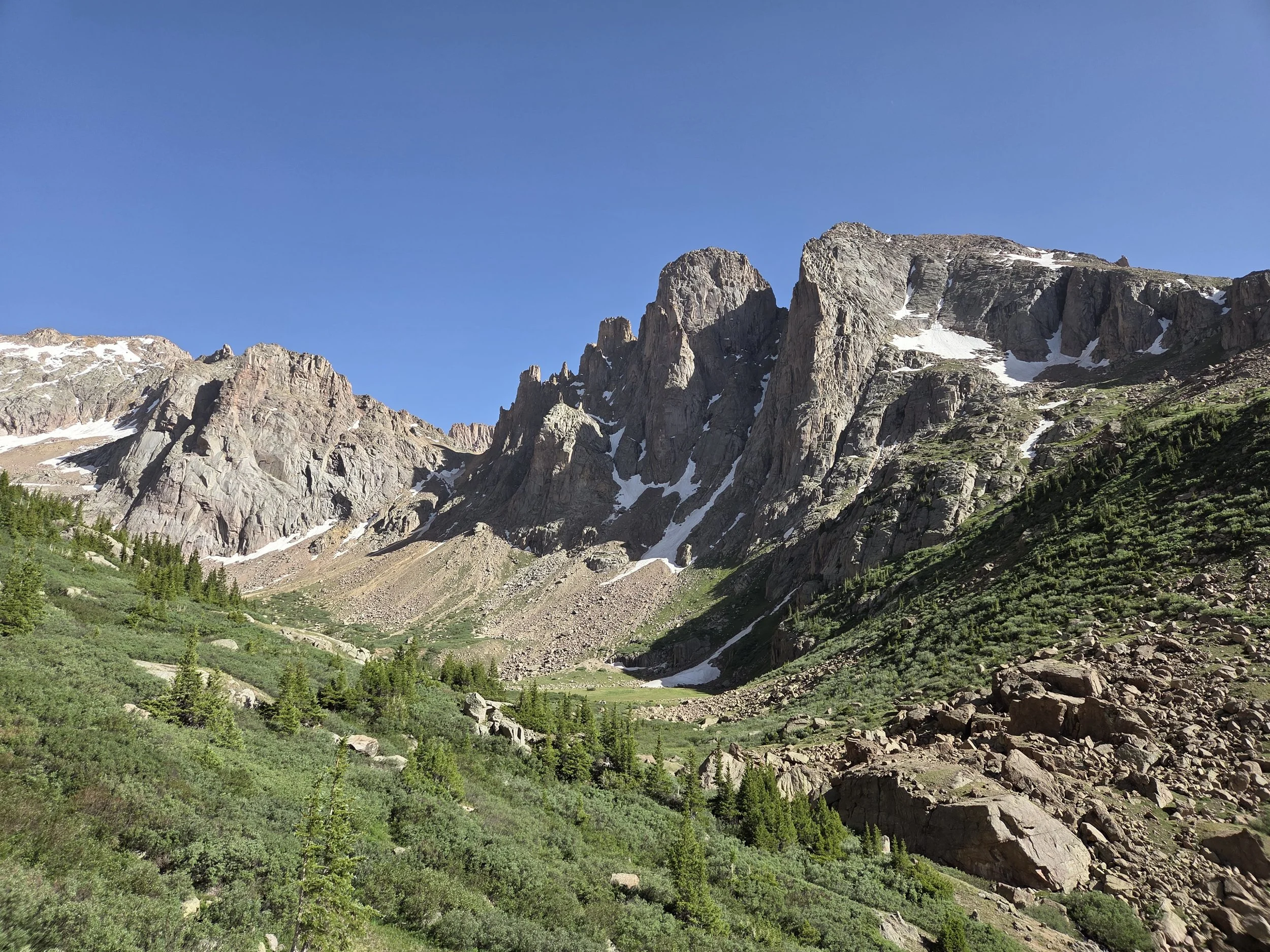
Turret Peak & Upper Ruby Meadow
Seasonal Closures
We are not aware of any official seasonal closures, but high snow can make sections difficult or impassable without specialized skillsets.
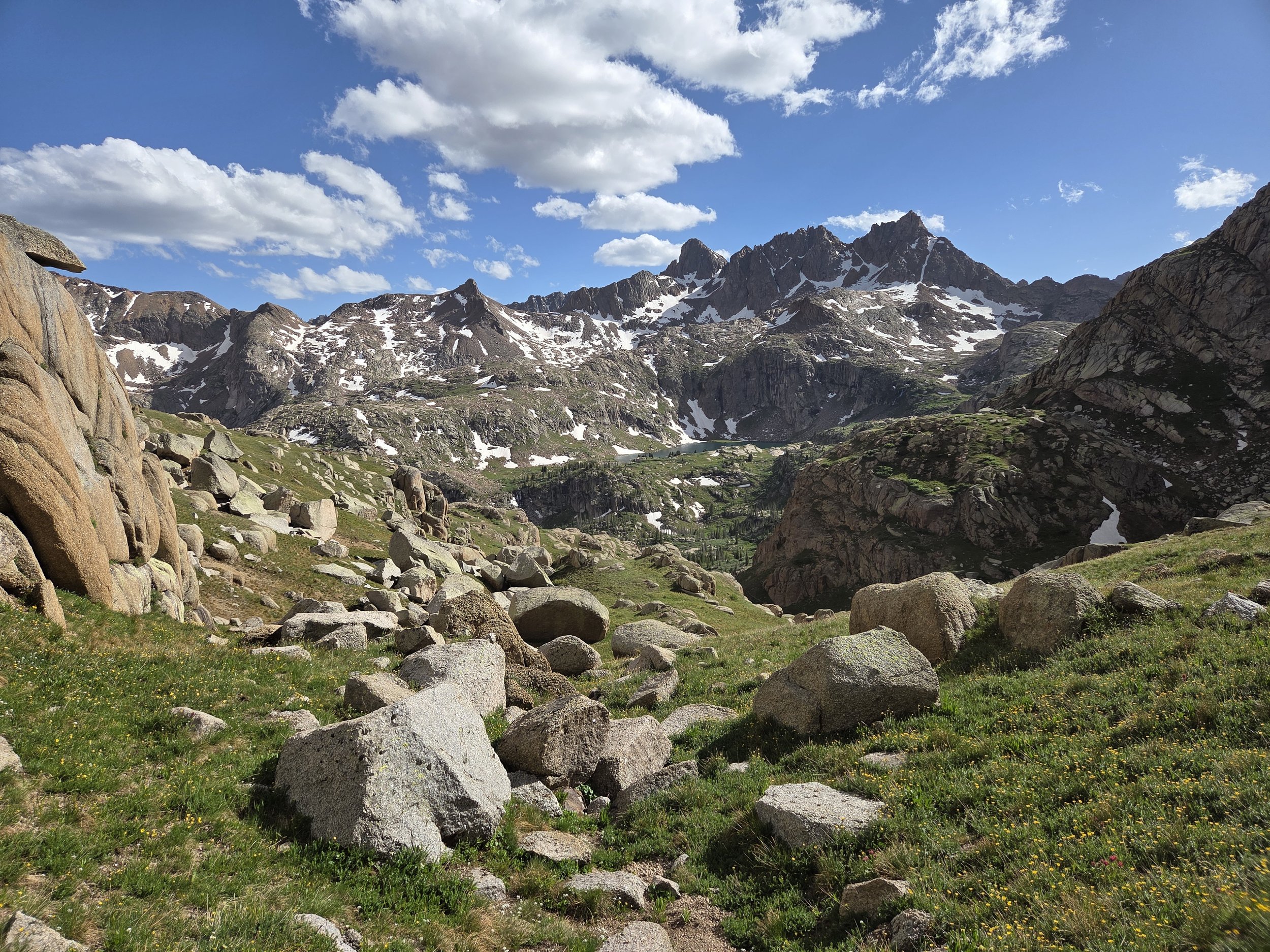
Sunlight Basin
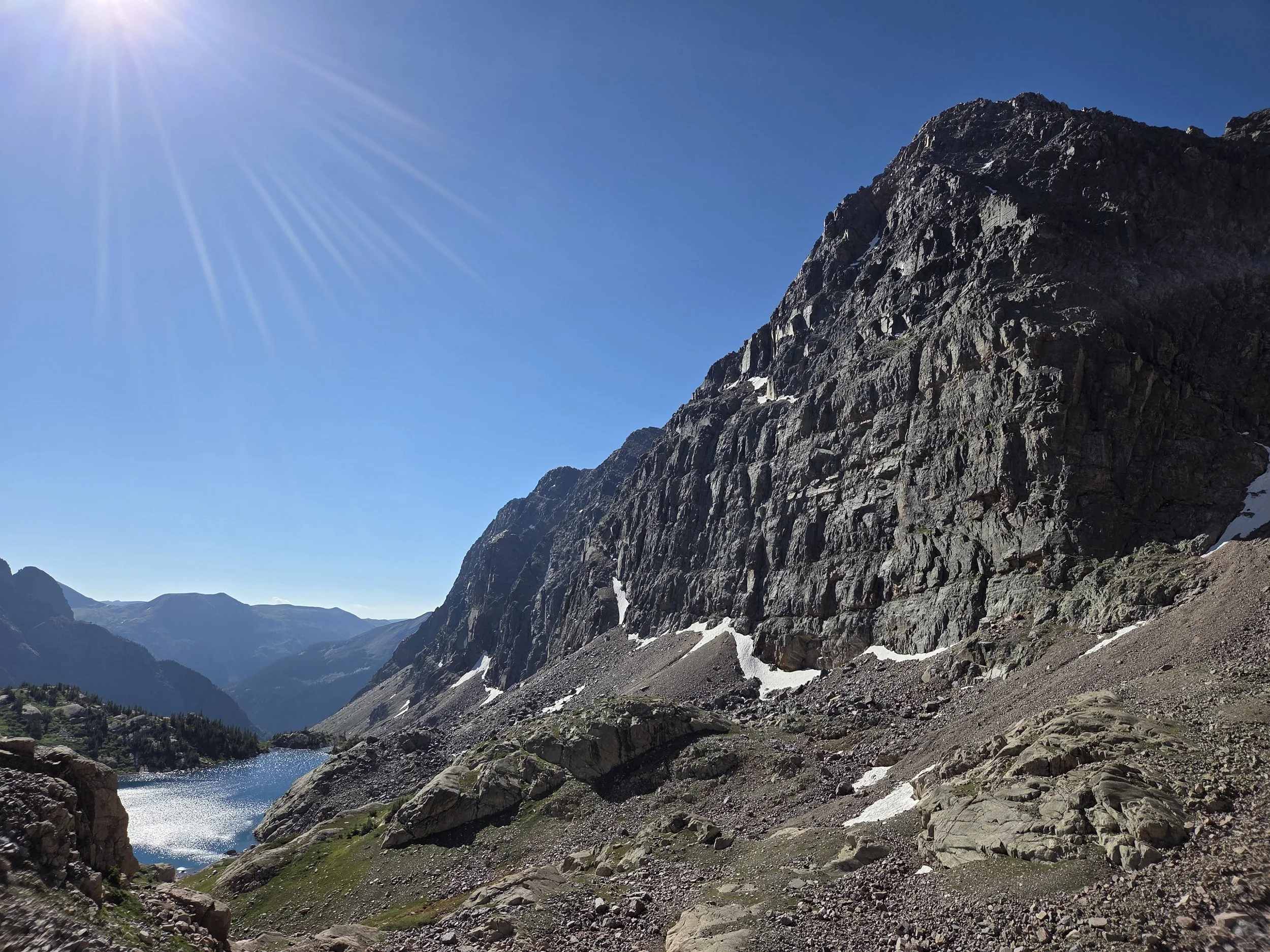
Leviathon Peak and Lake
Permits & Fees
There are no permits or fees for this segment, other than if you wish to take the Silverton Train either to or from the Needleton wilderness stop. See Segment 9 for information.
Water
Water is less problematic in this area, though be mindful of extended stretches above treeline and streams.
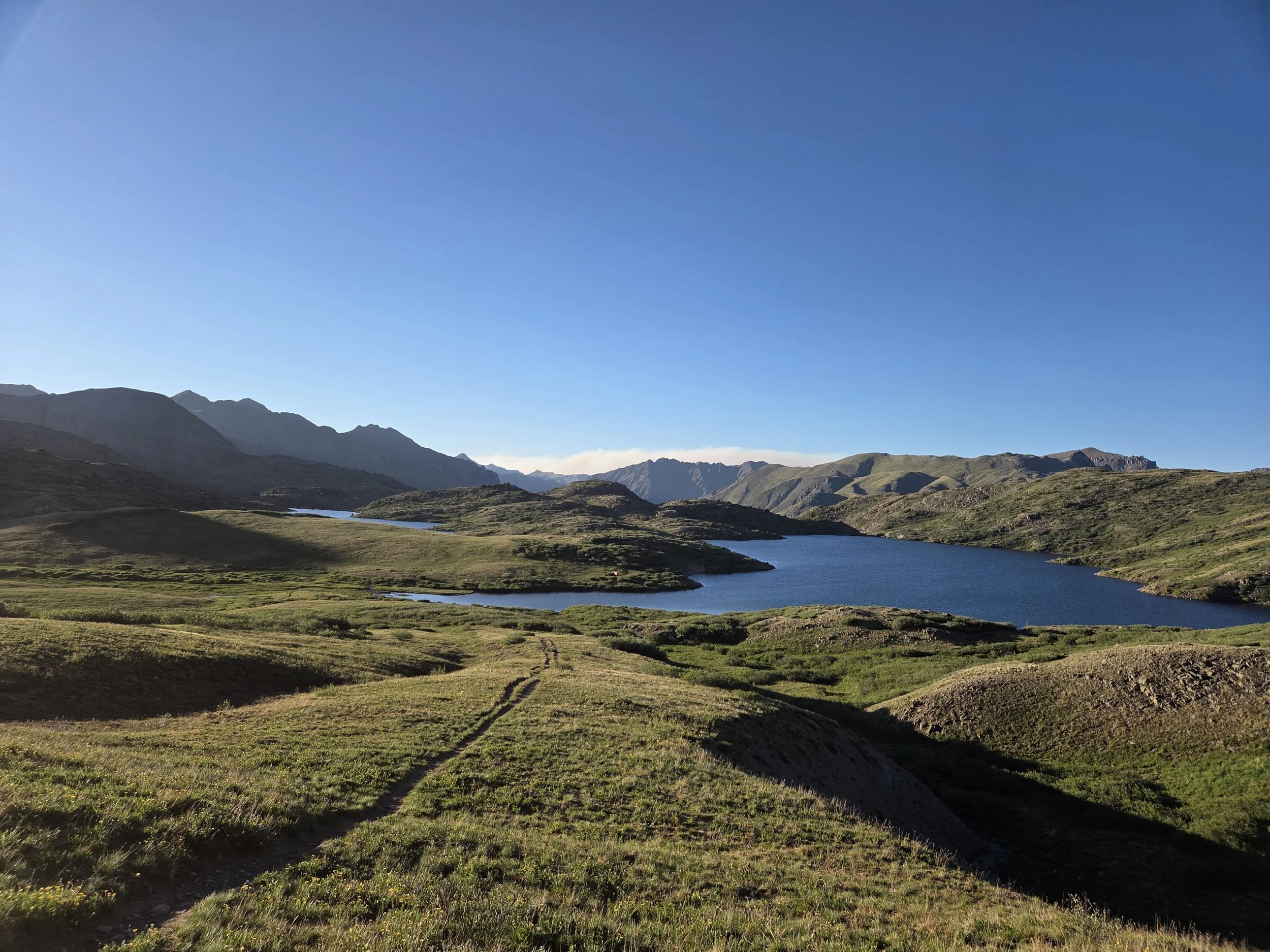
Highland Mary Lakes
Camping
No camping near Twin Lakes.
No fires in Chicago Basin or Vestal Basin.
You will likely camp near or above treeline along this segment, so please monitor weather forecasts and make safe decisions.
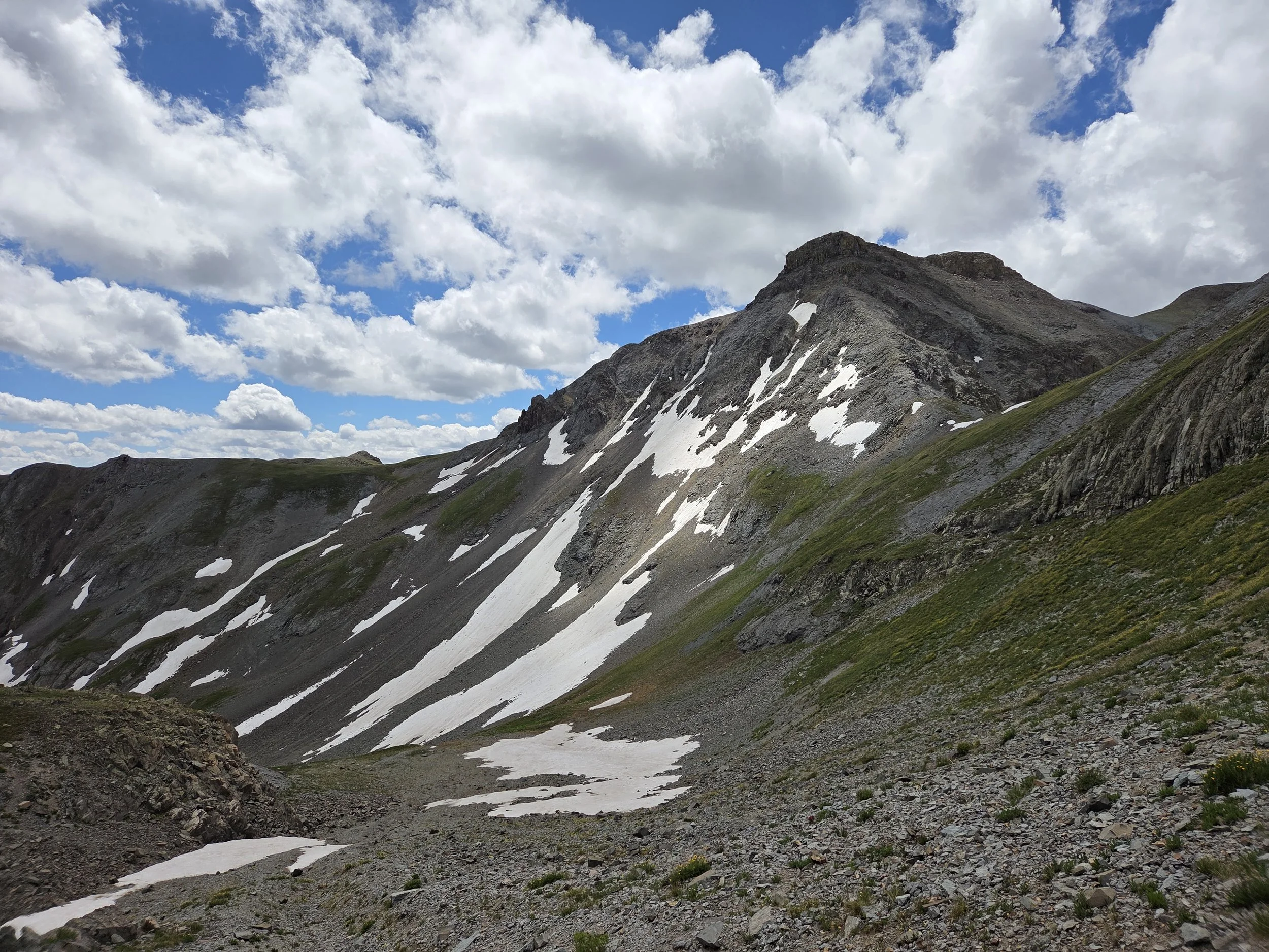
Arrastra Basin
Other Considerations
Extreme Remoteness: This area is one of the most remote parts of Colorado, and rescue could take several days to reach you.
Snow Travel: Thru hikers may encounter high snow levels when traversing this section and are encouraged to carry appropriate gear (e.g., microspikes and ice axe), know how to use them, and have backup plans if their planned route is unsafe or impassable.