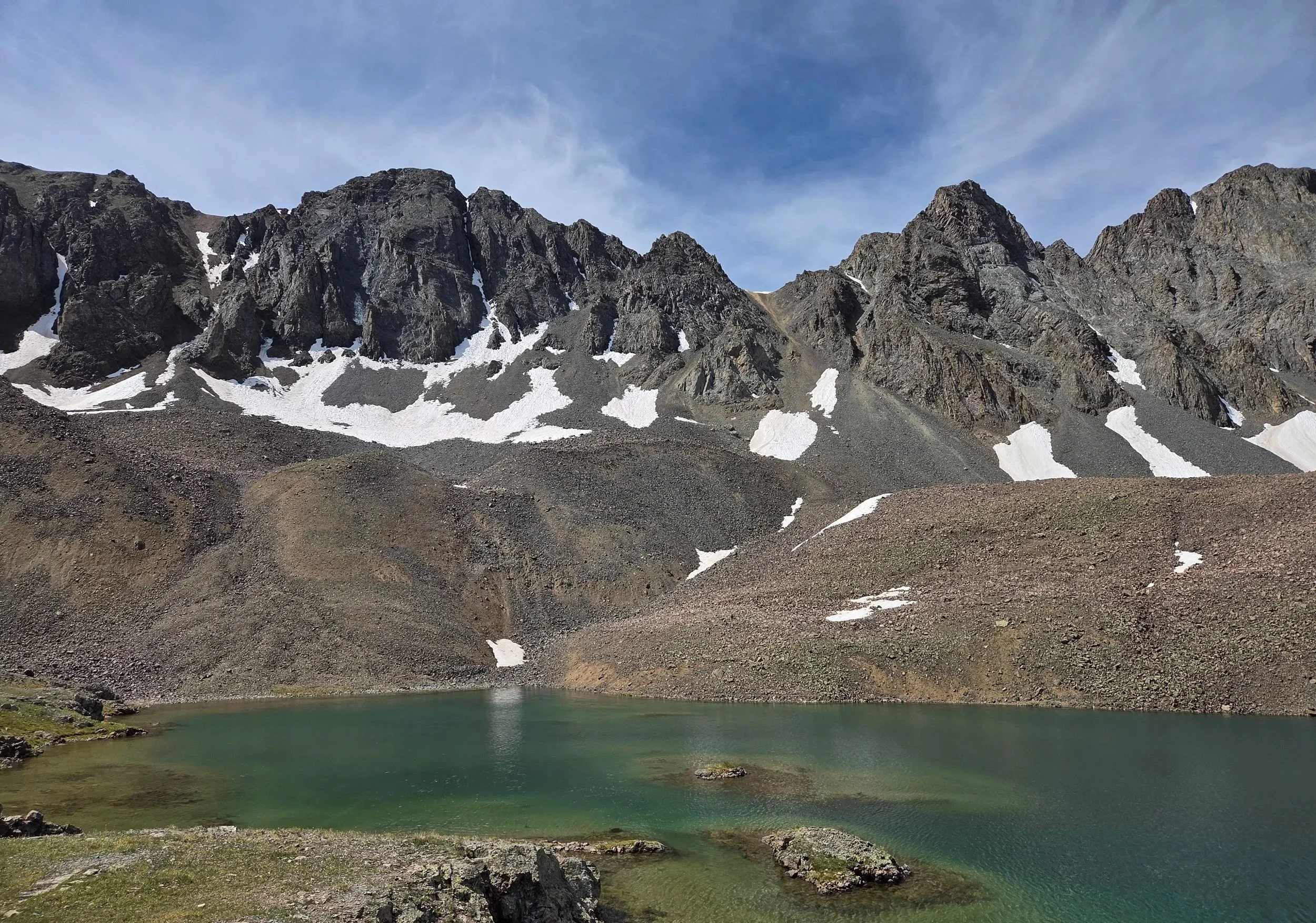
Segment 11
American Basin & Red Cloud Peak Wilderness Study Area
Distance: 42.5 miles
Vertical: +14160', -14809'
Highlights:
Velocity Basin
Animas Forks
Sloan Lake
Redcloud Traverse
Main Challenges:
Technical terrain
Weather exposure
Snow in early and late season
Scrambling Grade: Up to Class 3
Exposure: Moderate
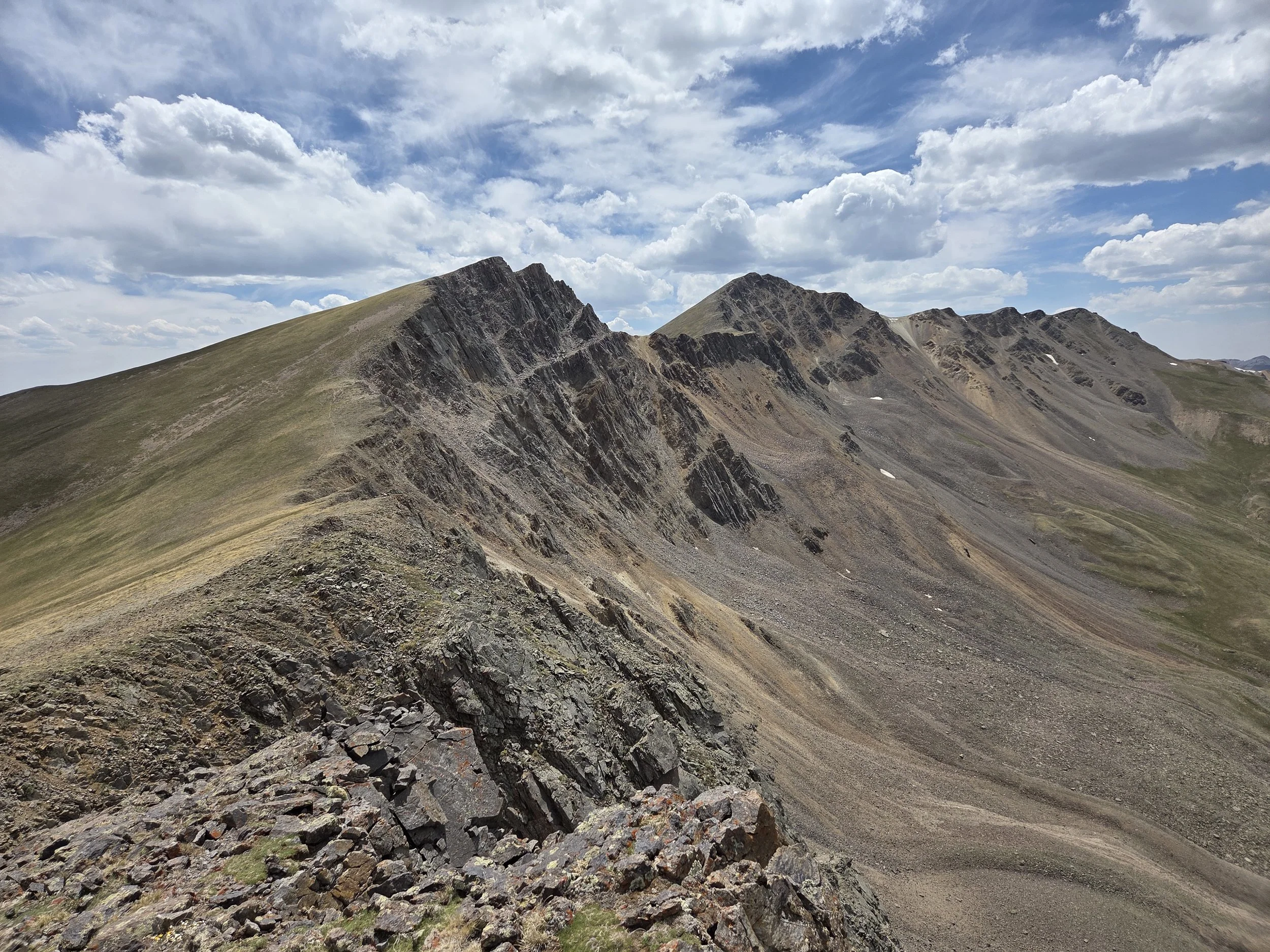
Unnamed 13ers, Red Cloud Wilderness Study Area
Segment 11 tackles some of the San Juans’ most popular 14ers, Handies, Redcloud, and Sunshine. To access them, the route leaves Silverton by going up and over Boulder Gulch, giving a phenomenal view of Velocity Basin before descending Eureka Gulch to the Animas River. The trail through Eureka Gulch can be difficult to follow.
Near Animas Forks, the GCR follows the Hard Rock 100 route to American Basin and Handies Peak. A short side spur to Sloan Lake is highly recommended.
After Handies, the GCR takes a lengthy ridge traverse from Sunshine Peak to Redcloud Peak and a couple 13ers all the way to East Alpine Gulch and joins the San Juan Solstice Route directly into Lake City. This is a long stretch above treeline with limited exit options. Plan around weather accordingly.
In the future, we hope to expand this segment in two areas:
Between Boulder Gulch and Picayne Gulch
Uncompahgre Wilderness (closed during the 2026 scouting mission due to the Gold Mountain Fire).
Loading map…
Logistical Considerations
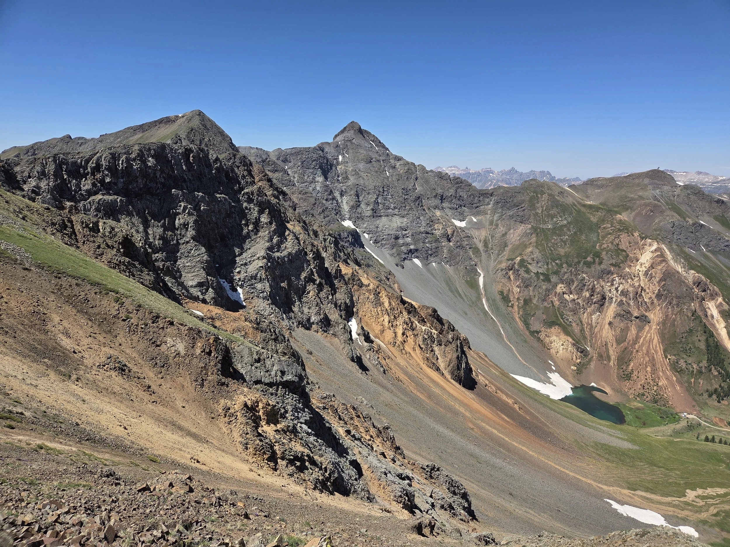
Velocity Basin
Seasonal Closures
We are not aware of any official seasonal closures, but high snow can make sections difficult or impassable without specialized skillsets.
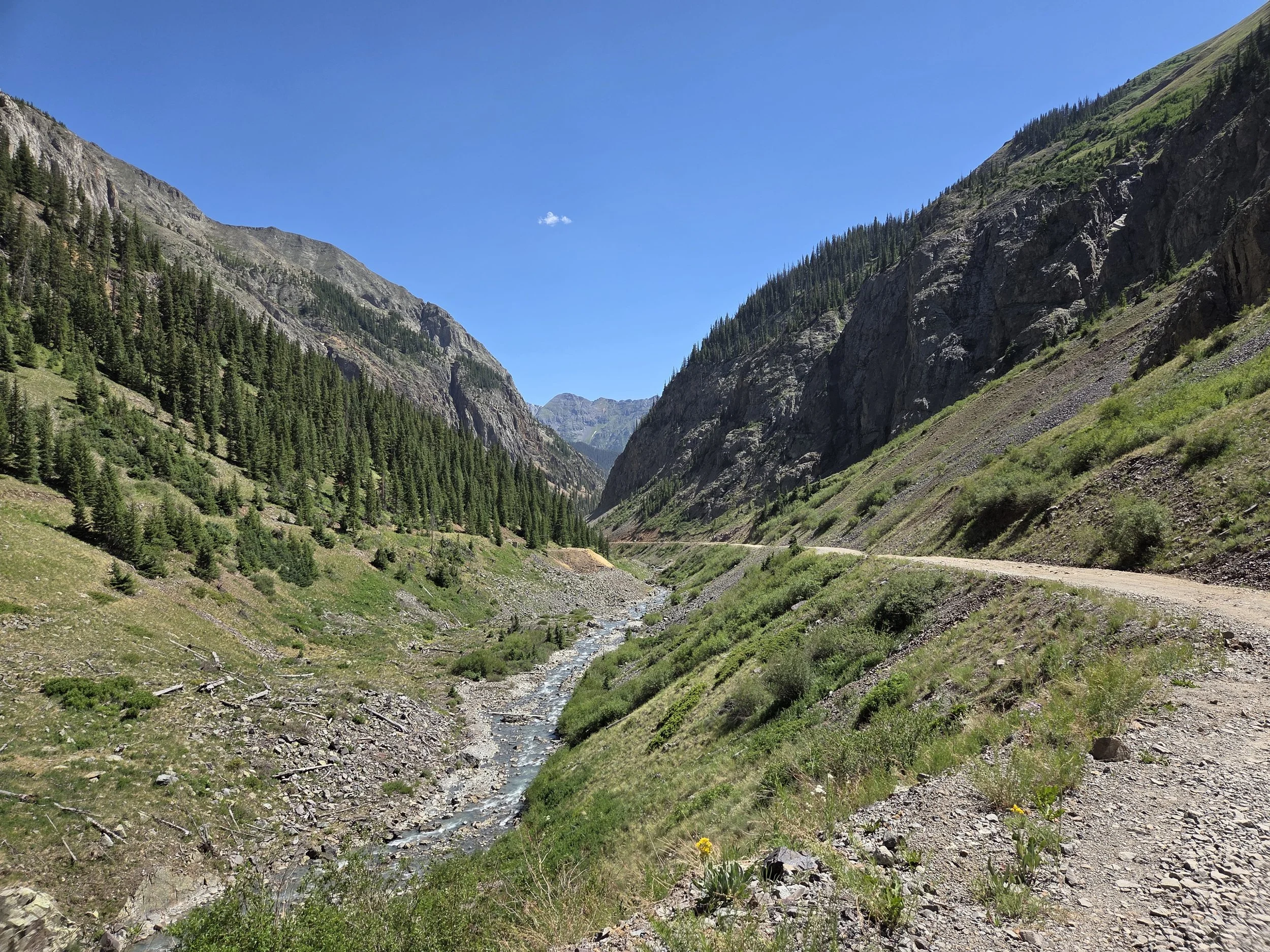
Animas River, near Eureka
Permits & Fees
There are no permits or fees for this segment.
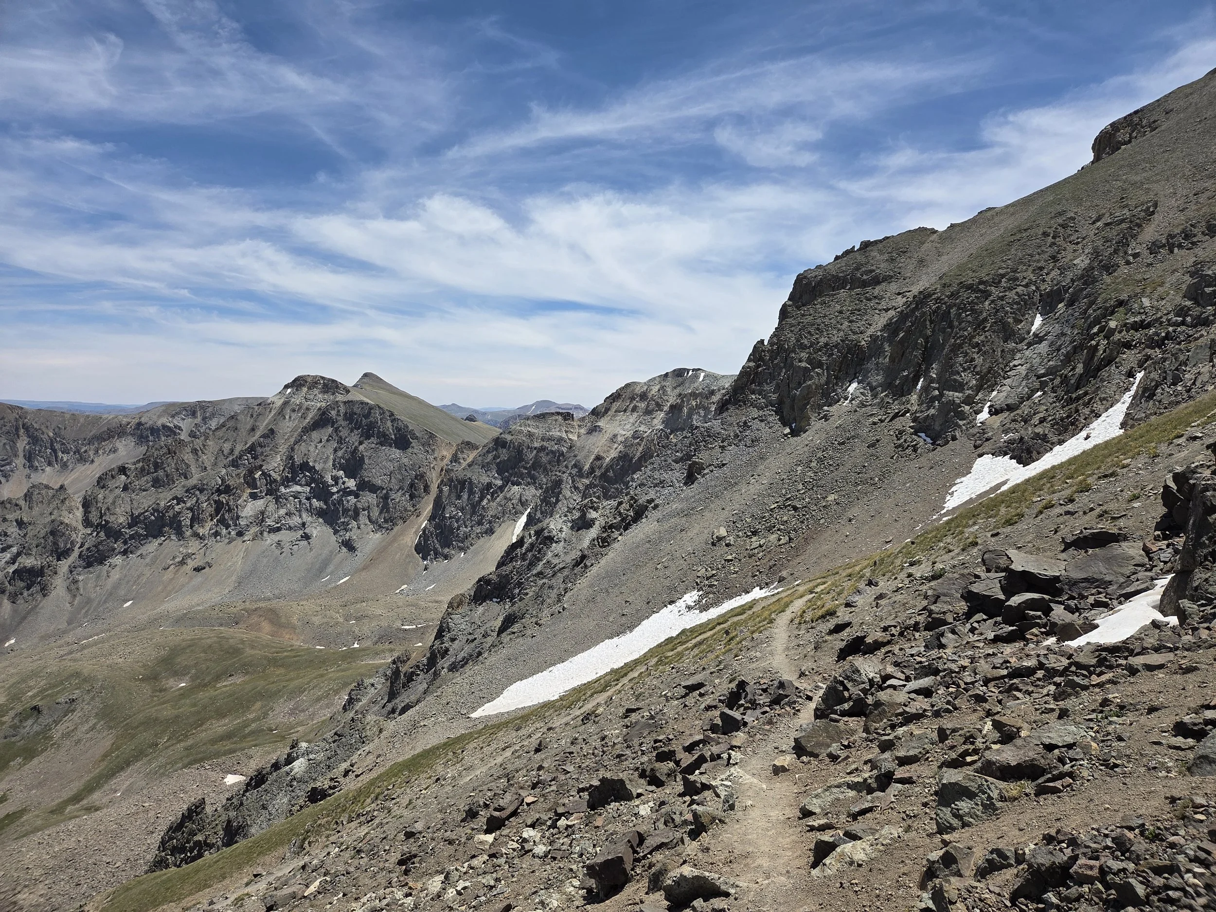
Grizzly Gulch, near Handies Peak
Water
Water is less problematic in this area, though be mindful of extended stretches above treeline and streams.
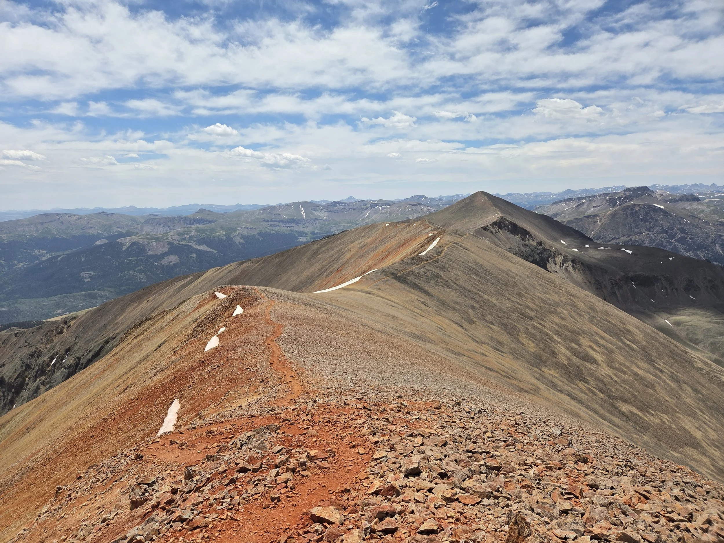
Red Cloud to Sunshine Peak Trail
Camping
Roadside camping near Eureka and along the Animas River is in first-come, first-served designated sites only.
No camping at Sloan Lake.
No camping above treeline in Red Cloud Peak Wilderness Study Area.
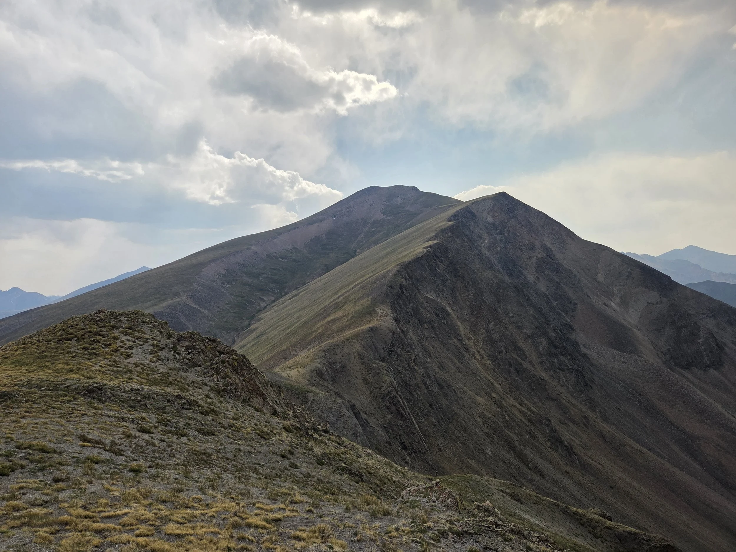
San Juan Solstice Route
Other Considerations
Critical Habitat: Red Cloud Peak Wilderness Study Area is a critical habitat for endangered butterflies. Please hike on durable surfaces.
Snow Travel: Thru hikers may encounter high snow levels when traversing this section and are encouraged to carry appropriate gear (e.g., microspikes and ice axe), know how to use them, and have backup plans if their planned route is unsafe or impassable.