Segment 12
La Garita Wilderness & Wheeler Geologic Area
Distance: 83.3 miles
Vertical: +21772', -22225'
Highlights:
Slumgullion Earthflow
Baldy Chato to La Garita Peak Traverse
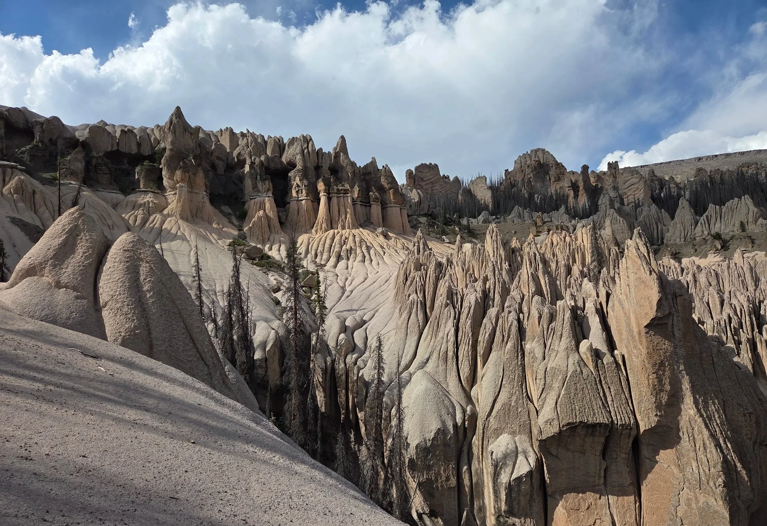
Wheeler Geo Area
Main Challenges:
Long, technical terrain above treeline
Weather exposure
Snow in early and late season
Scrambling Grade: Sustained Class 2
Exposure: Moderate to High
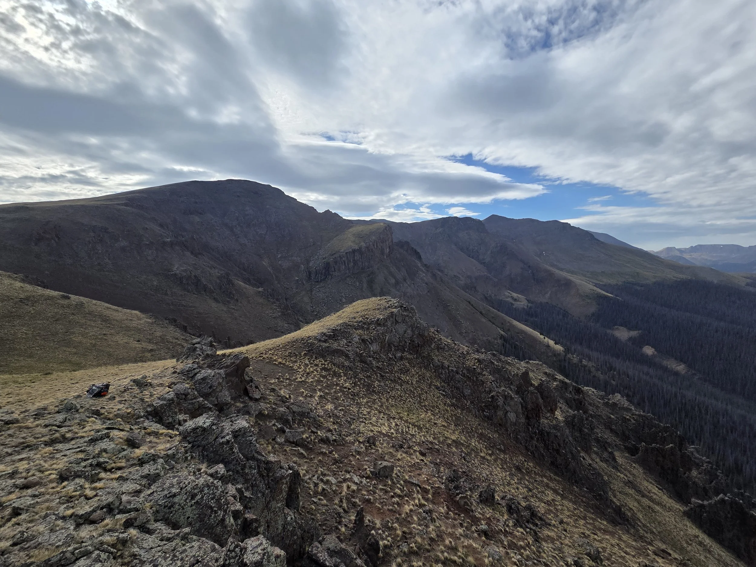
Baldy Chato, La Garita Wilderness
This lengthy and demanding segment connects Lake City to South Fork along the scenic La Garita Wilderness.
It starts with a climb directly out of town to the summit of Lake Point along the Cannibal Plateau, named after the Alfred Packer story.
The GCR then explores the quieter northern side of the La Garita Wilderness. Folks wishing to see the superb Snow Mesa can alternatively join the Colorado Trail.
After Bonholder Meadow, the GCR starts a very demanding ridge traverse along several summits, going all the way from Baldy Chato to Wheeler Geologic Area. A small break after San Luis Peak is provided for camping and water options, though skilled hikers with a good weather window can stay on the ridge the full way.
The section concludes with a visit to Wheeler Geologic Area, a former National Monument with stunning spires and hoodoos, before dropping into the town of South Fork.
Hikers wishing to add even more of the San Juans may consider making a custom route that exits Wheeler towards the town of Creede and joins the Creede Cutoff of the Continental Divide Trail to visit a portion of the South San Juans Wilderness before reconnecting to the GCR (route currently not provided).
Loading map…
Logistical Considerations
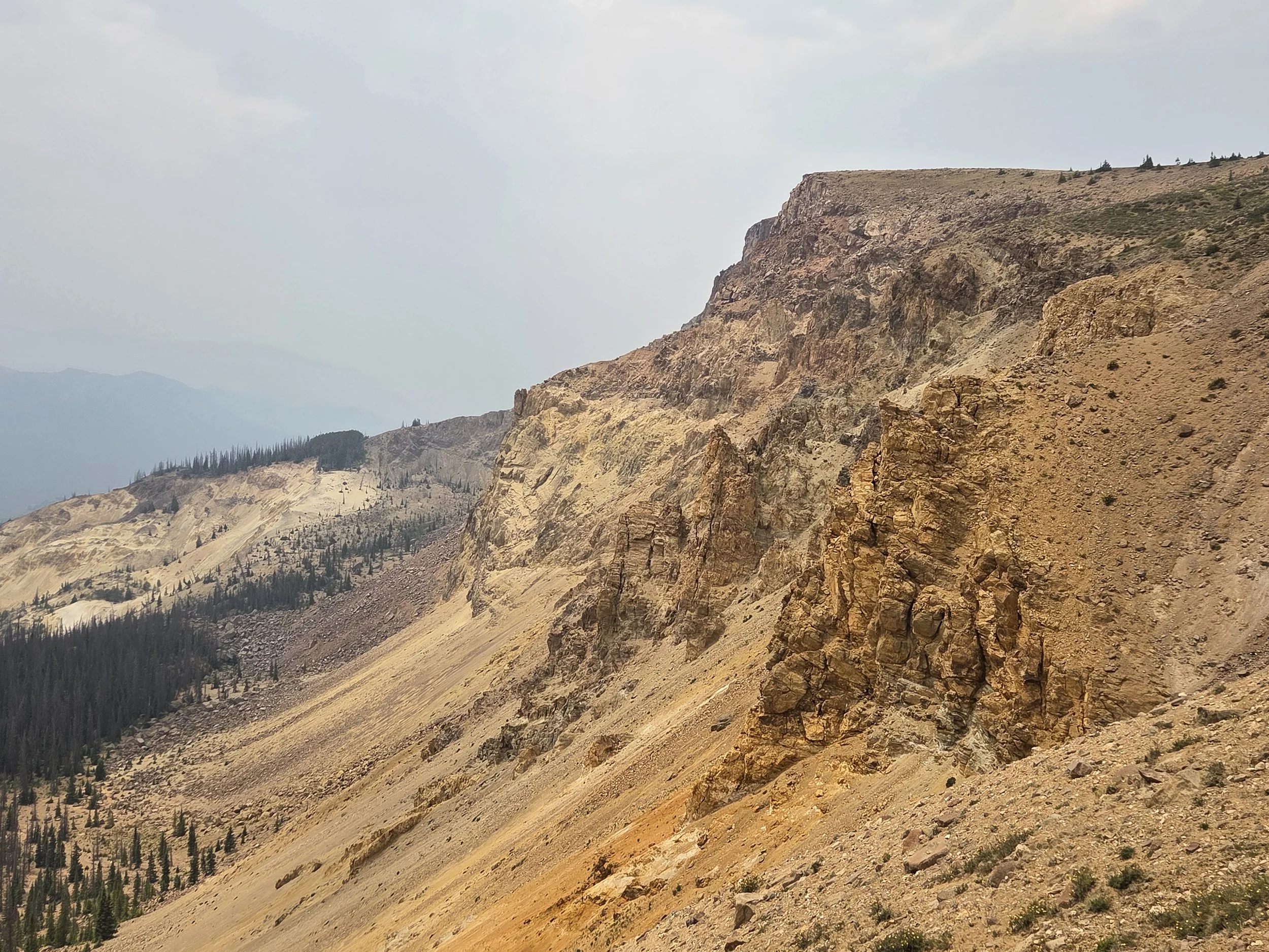
Slumgullion Earthflow
Seasonal Closures
We are not aware of any official seasonal closures, but high snow can make sections difficult or impassable without specialized skillsets.
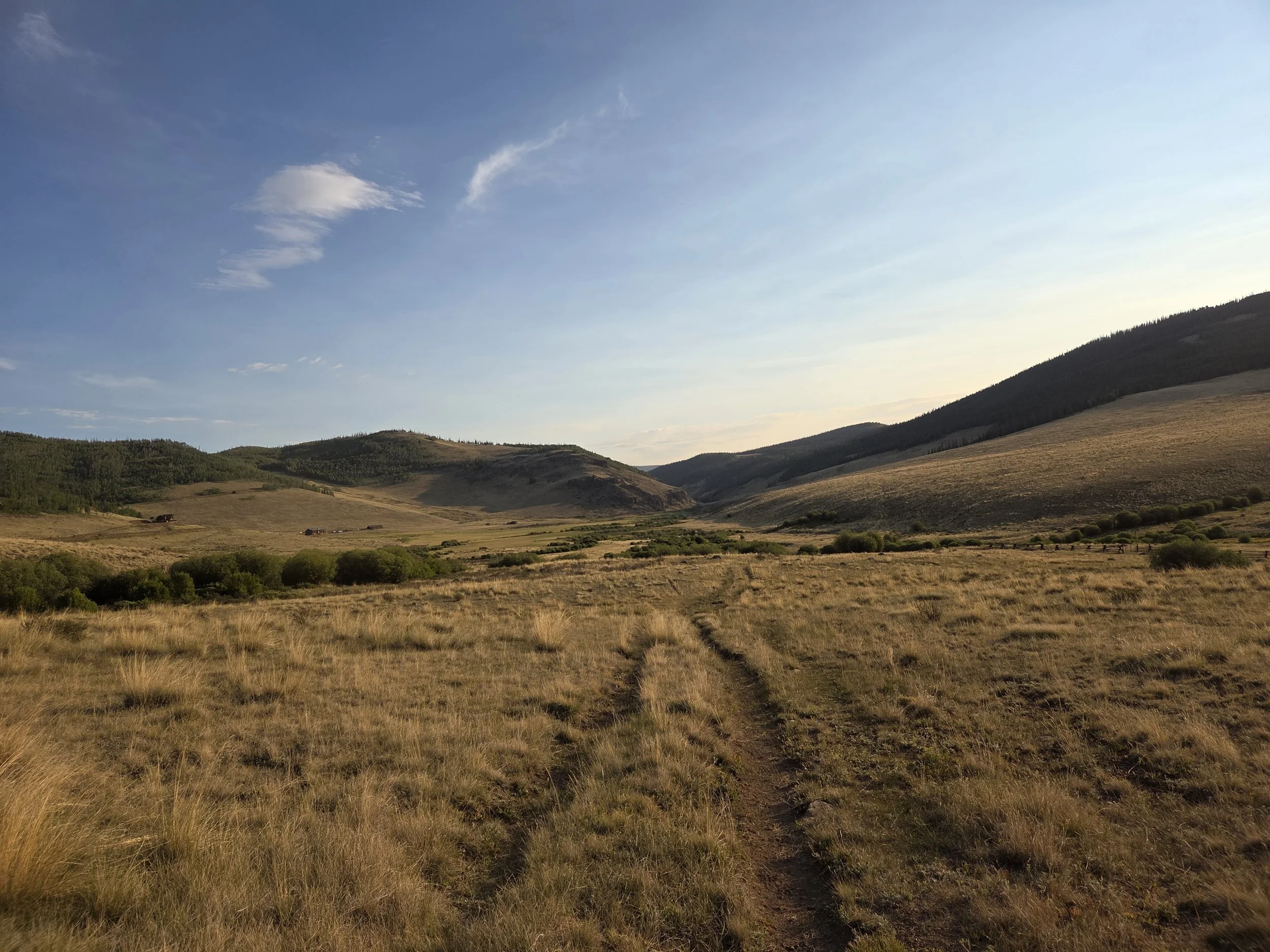
Powderhorn Gulch
Permits & Fees
There are no permits or fees for this segment.
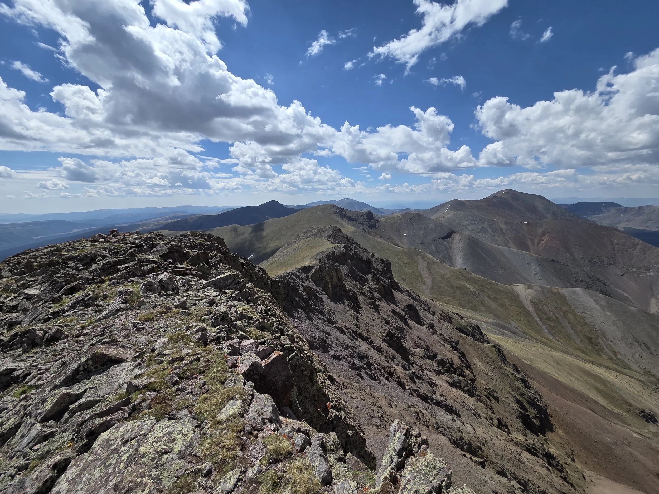
Ridgeline towards Baldy Alto & San Luis Peak
Water
Water is not as sparse as in the Grand Valley area, though there are still several sections where you will want to stock up on water. Reveiw the waypoints in map above to get a sense of what water was like during the 2026 scouting mission (conditions may vary).
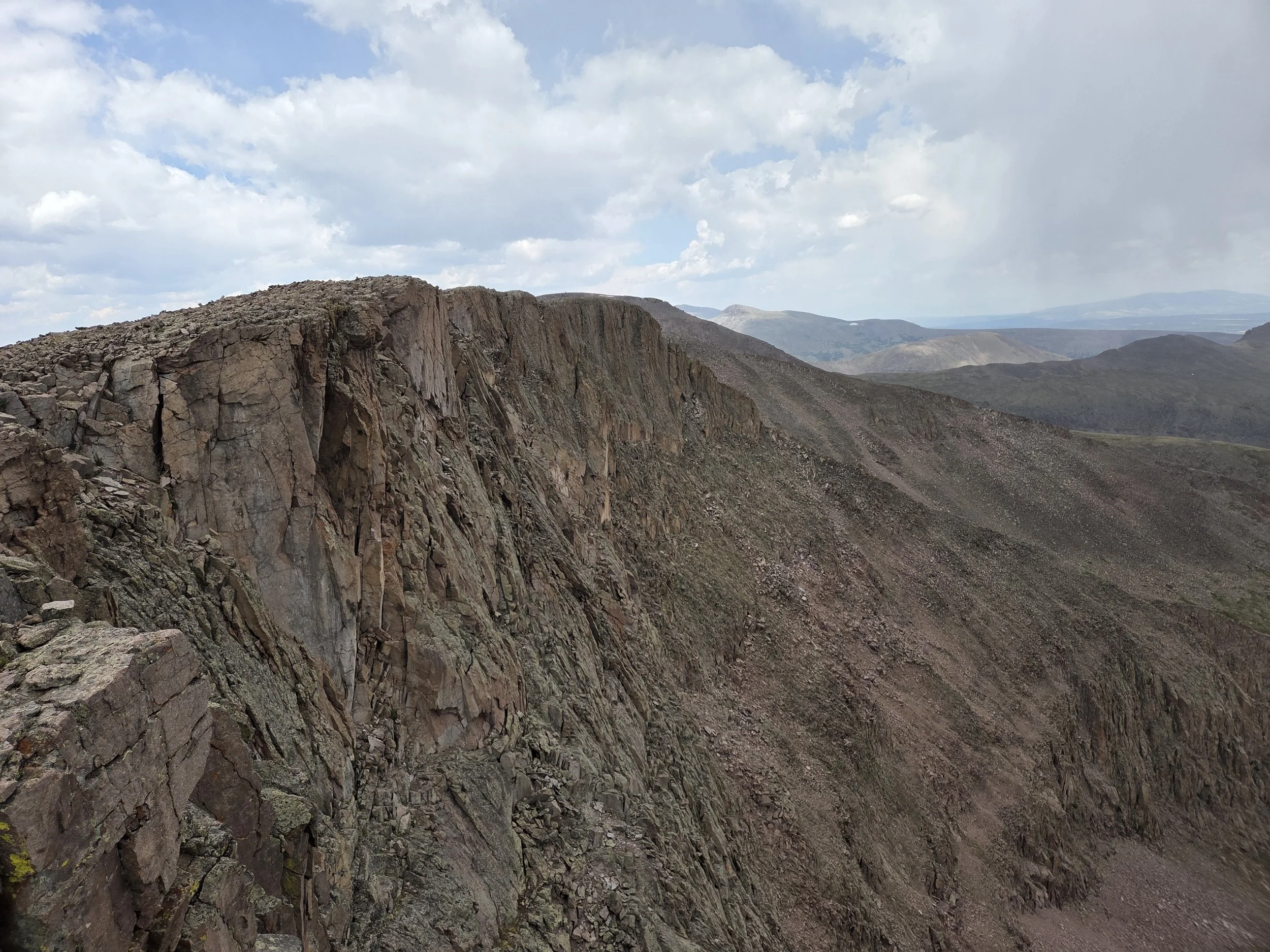
Cliffs near La Garita Peak
Camping
Camping is generally not allowed in Wheeler Geologic Area, including the shelter in there. Check with local land manager beforehand if planning on camping in this small zone.
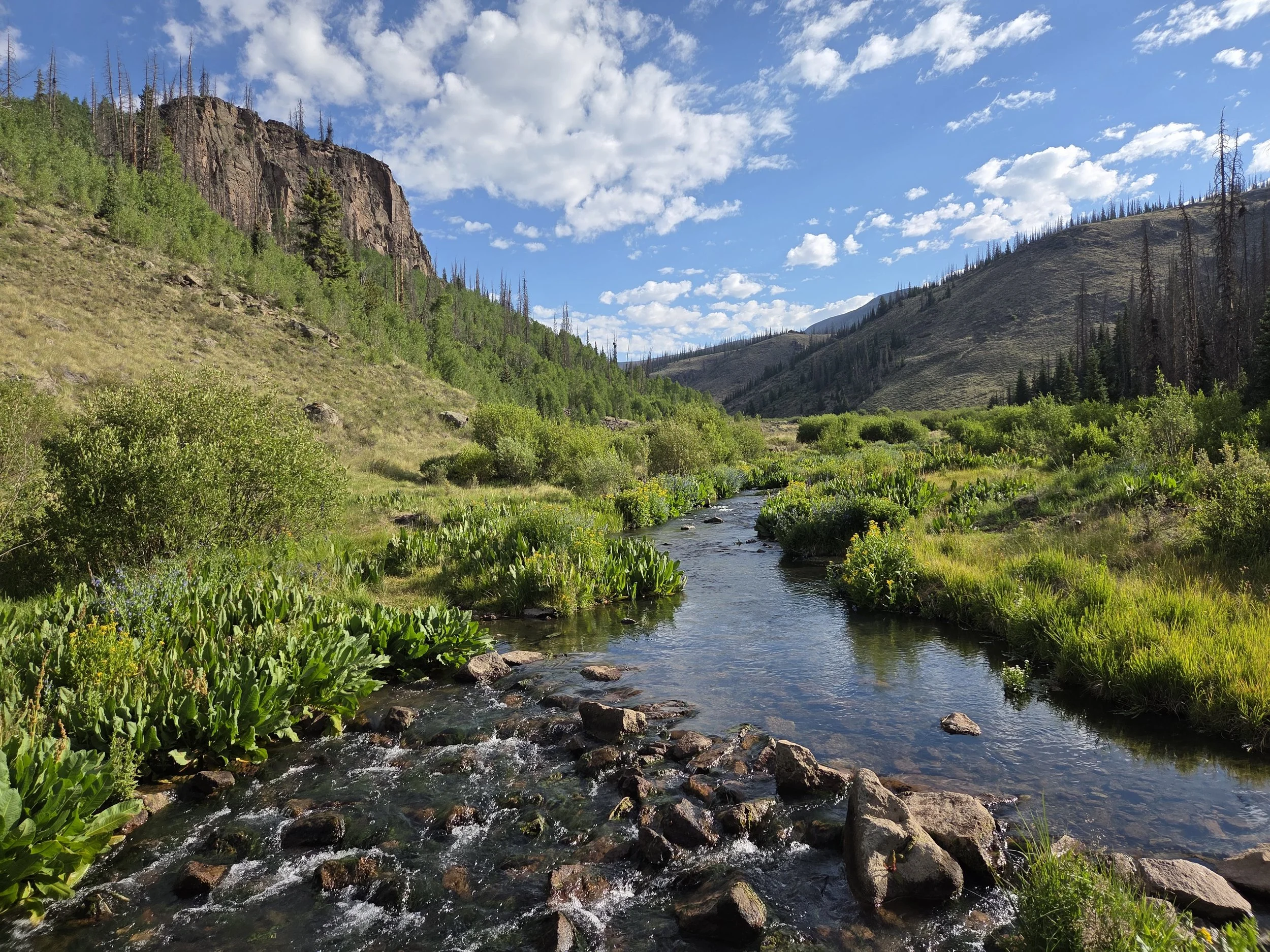
East Bellows Creek
Other Considerations
Fragile Environment: Please hike and camp on durable surfaces. You are not allowed to go off trail in Wheeler Geologic Area due to the fragility of the rock formations.
Snow Travel: Thru hikers may encounter high snow levels when traversing this section and are encouraged to carry appropriate gear (e.g., microspikes and ice axe), know how to use them, and have backup plans if their planned route is unsafe or impassable.