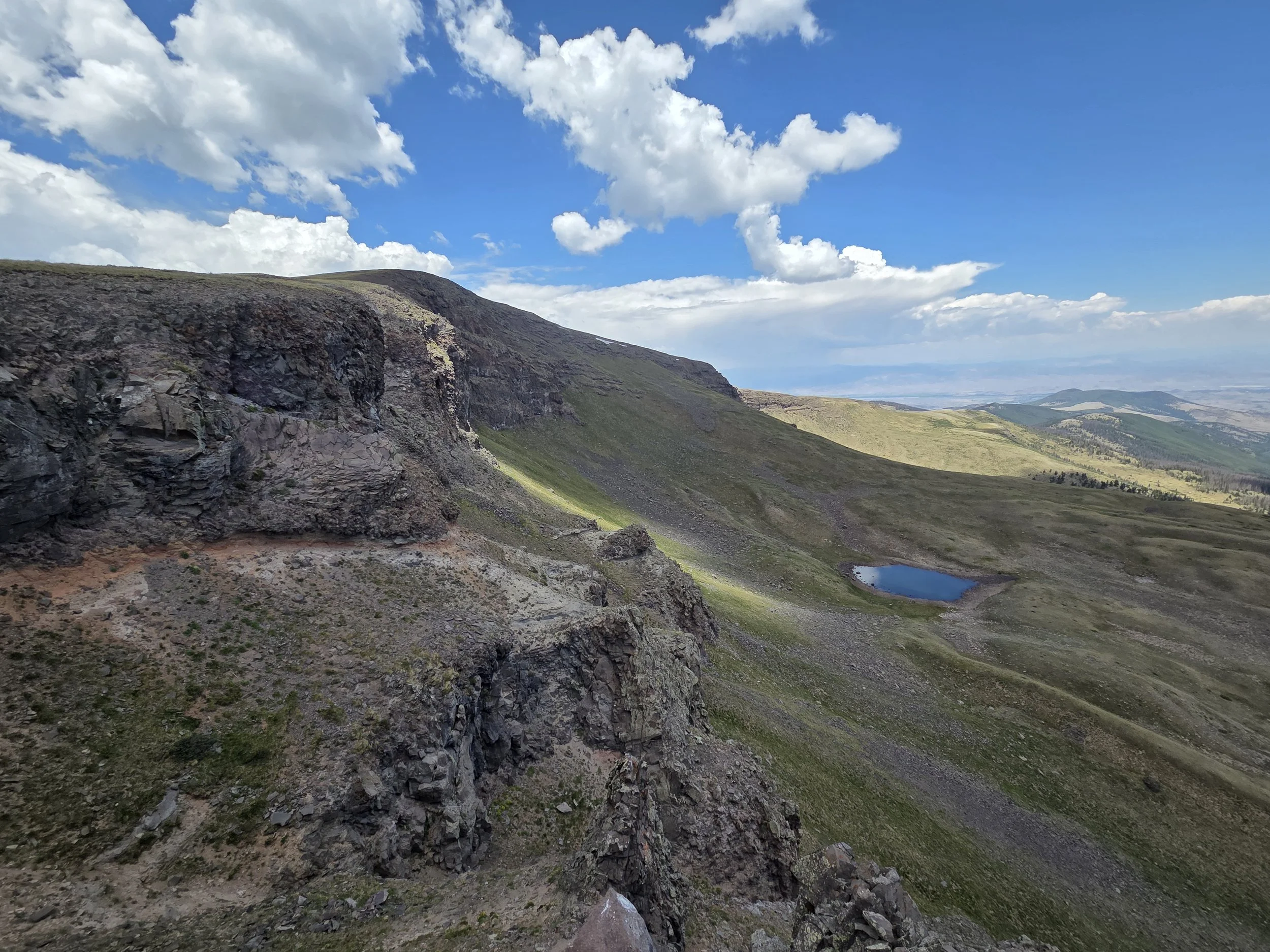
Segment 13
Bennett Peak & San Luis Valley
Distance: 84.5 miles
Vertical: +11063', -11741'
Highlights:
Bennett Peak
North Rock Creek
Greenie Mountain BLM Land
Main Challenges:
Route-finding along North Rock Creek
Long water carry across San Luis Valley
Desert heat in San Luis Valley
Scrambling Grade: Mostly roads and trails
Exposure: Minimal
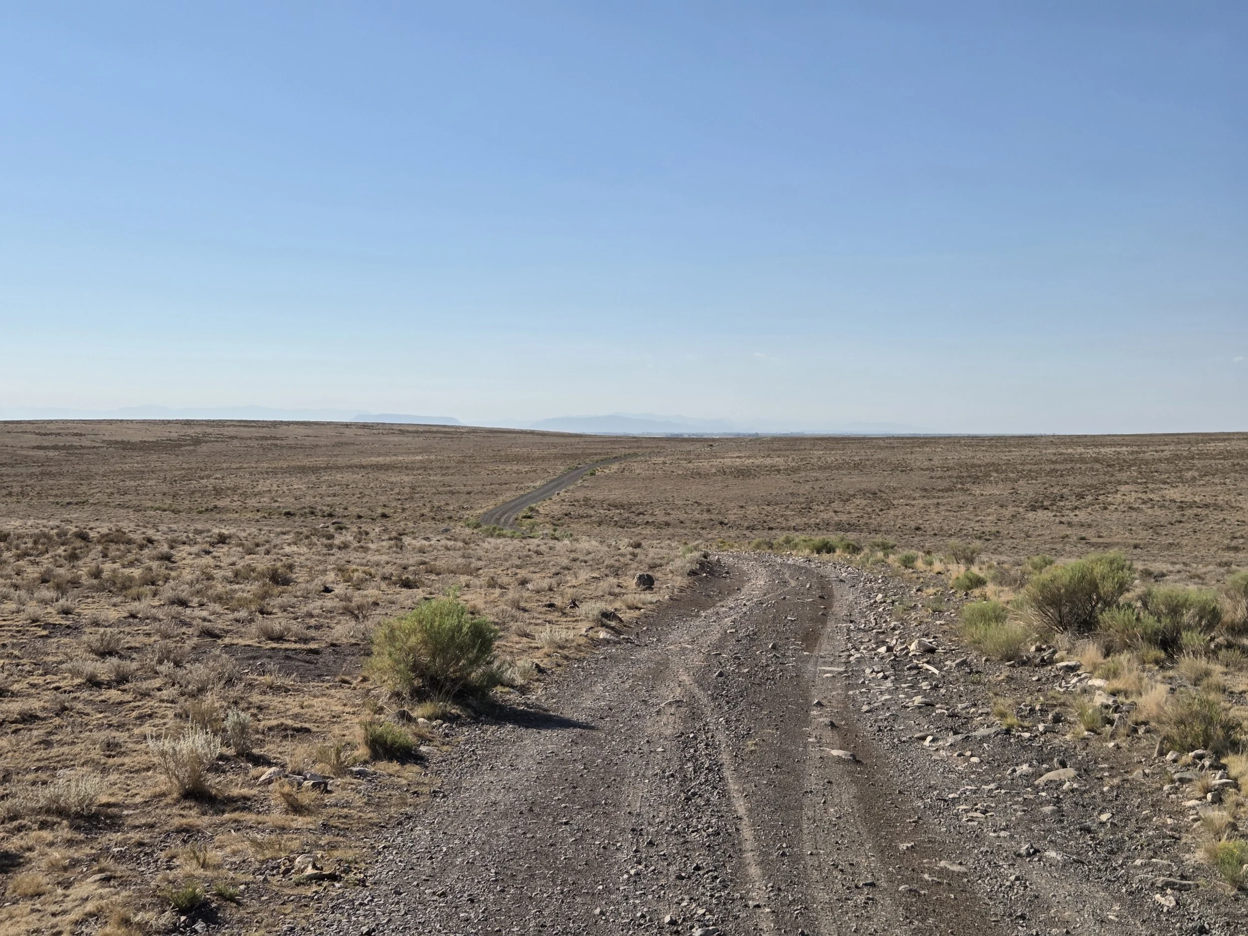
San Luis Valley, Greenie Mountain BLM Land
This quiet segment wraps up the San Juans as it connects South Fork to Alamosa in the middle of the San Luis Valley. It’s a bit tame compared to other segments, so we encourage section hikers to consider other segments first.
The main features of this segment are seldom-hiked trails to Pinos Creek, Bennett Peak, and North Rock Creek. Several of these trails are multi-use, however, so you are likely to encounter OHVers.
The trail along North Rock Creek goes through beautiful aspen groves, though be prepared for route finding as the trail fades in and out.
After Rock Creek, the GCR crosses Greenie Mountain BLM land to get a small taste of the natural environment of the San Luis Valley before darting as efficiently as possible to the town of Alamosa. Be sure to stop at Worth the Drive Bakery for some delicious Amish-baked goods.
The San Luis Valley offers several challenges, particularly high heat, long water carries, monotonous roads, and limited camping and lodging options due to private land. If you plan on walking the valley rather than hitching to the beginning of the Sangres, plan ahead!
In the future we will explore a different route from Creede to get a small taste of the South San Juans, but will likely still wind up connecting to the current route near Bennett Peak. A self-sufficient hiker can alternatively figure out a way to reconnect with the Colorado Trail northbound and take it to Salida before figuring out a way to reconnect in the Sangres.
Loading map…
Logistical Considerations
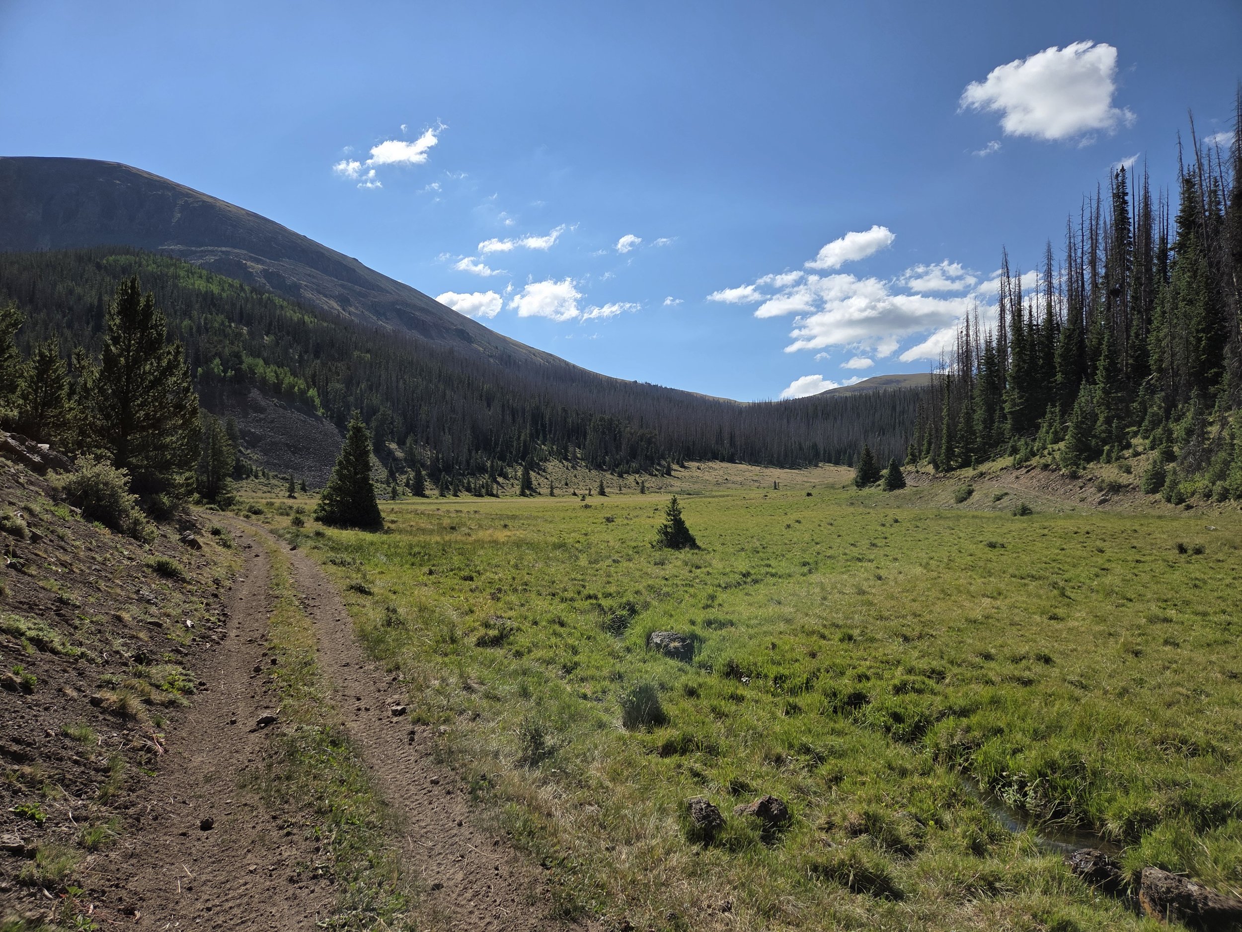
Approaching Bennett Peak
Seasonal Closures
We are not aware of any official seasonal closures, but high snow can make sections difficult or impassable without specialized skillsets.
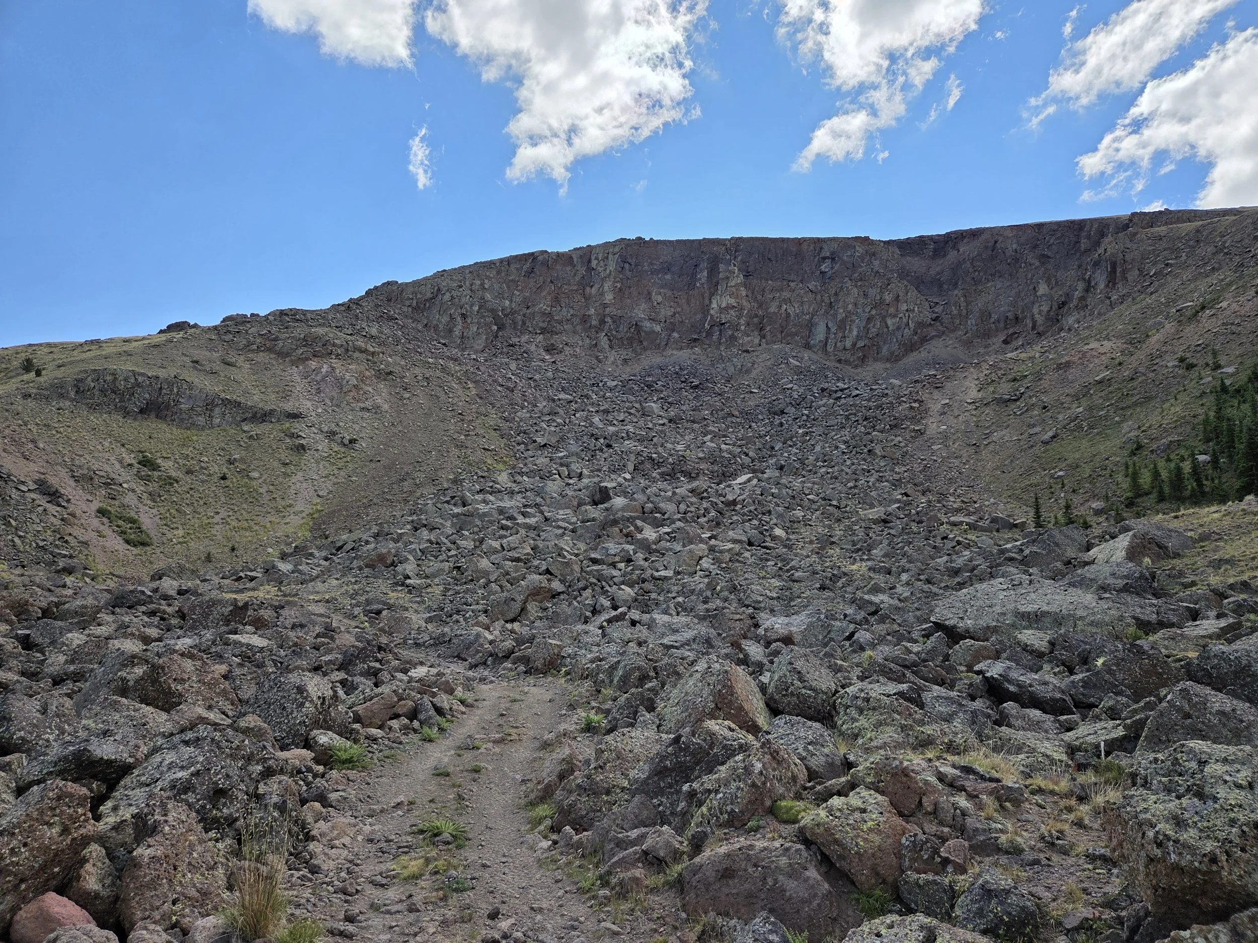
Cliffs below Bennett Mountain
Permits & Fees
There are no permits or fees for this segment.
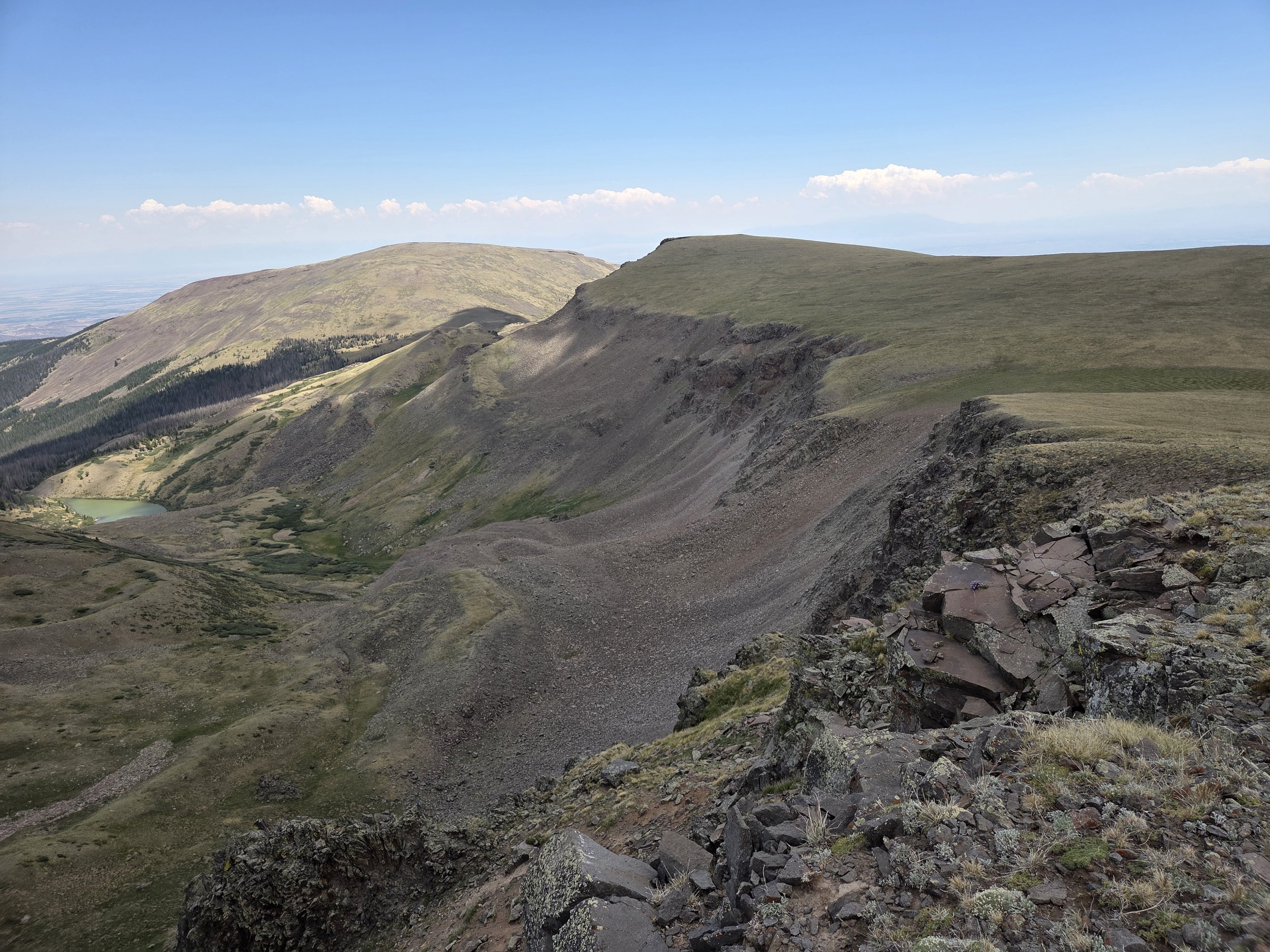
Near summit of Bennett Peak
Water
Water becomes a serious challenge as you approach and cross the San Luis Valley.
Stock up on plenty of water from South Fork Rock Creek before exiting National Forest lands
Spigots at Monte Vista Wildlife Refuge if you take the alternate that direction
Water for sale at SLV Discount Grocery and Worth the Drive Bakery along roadwalk
Water for sale at gas stations in Alamosa
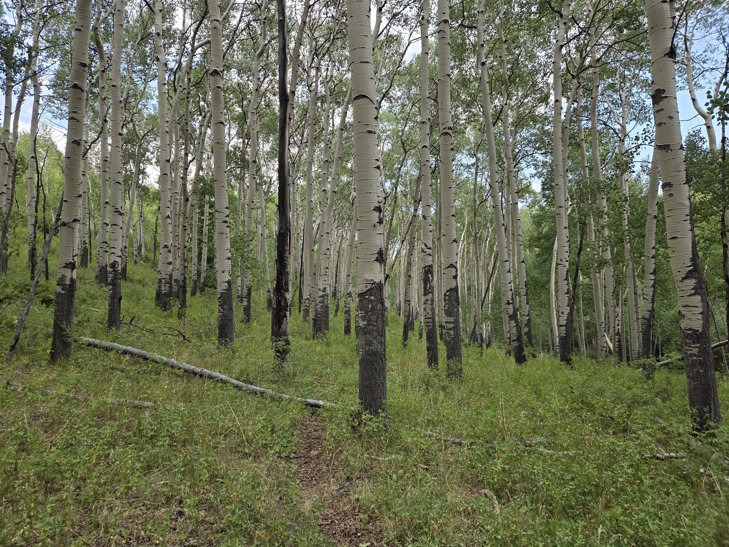
Aspen trees along North Rock Creek Trail
Camping
Please respect private property.
For the San Luis Valley, we recommend:
Collecting enough water from South Rock Creek
Camping along Greenie Mountain BLM land so you can make it all the way to Alamosa the next day.
Getting a motel room in Alamosa
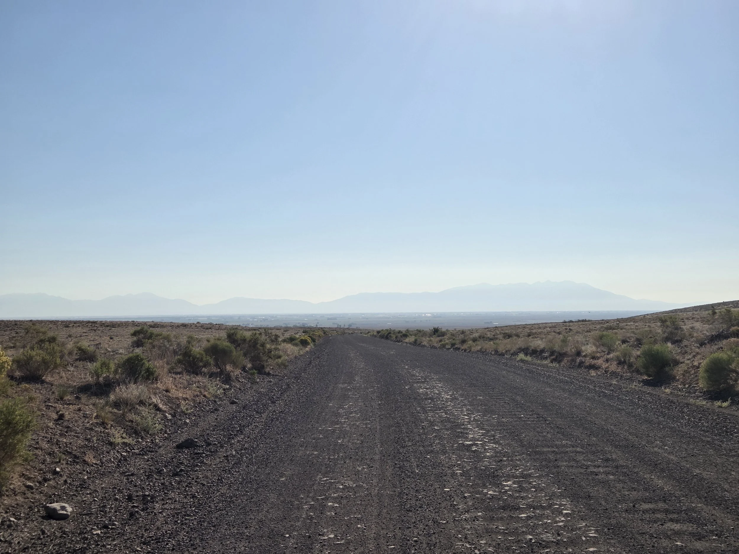
San Luis Valley with Sangres in background
Other Considerations
Desert Heat: The San Luis Valley can get extremely hot in the summer. Plan ahead and check forecasts to evaluate whether it is safe to cross on foot.
Snow Travel: Thru hikers may encounter high snow levels when traversing this section and are encouraged to carry appropriate gear (e.g., microspikes and ice axe), know how to use them, and have backup plans if their planned route is unsafe or impassable.