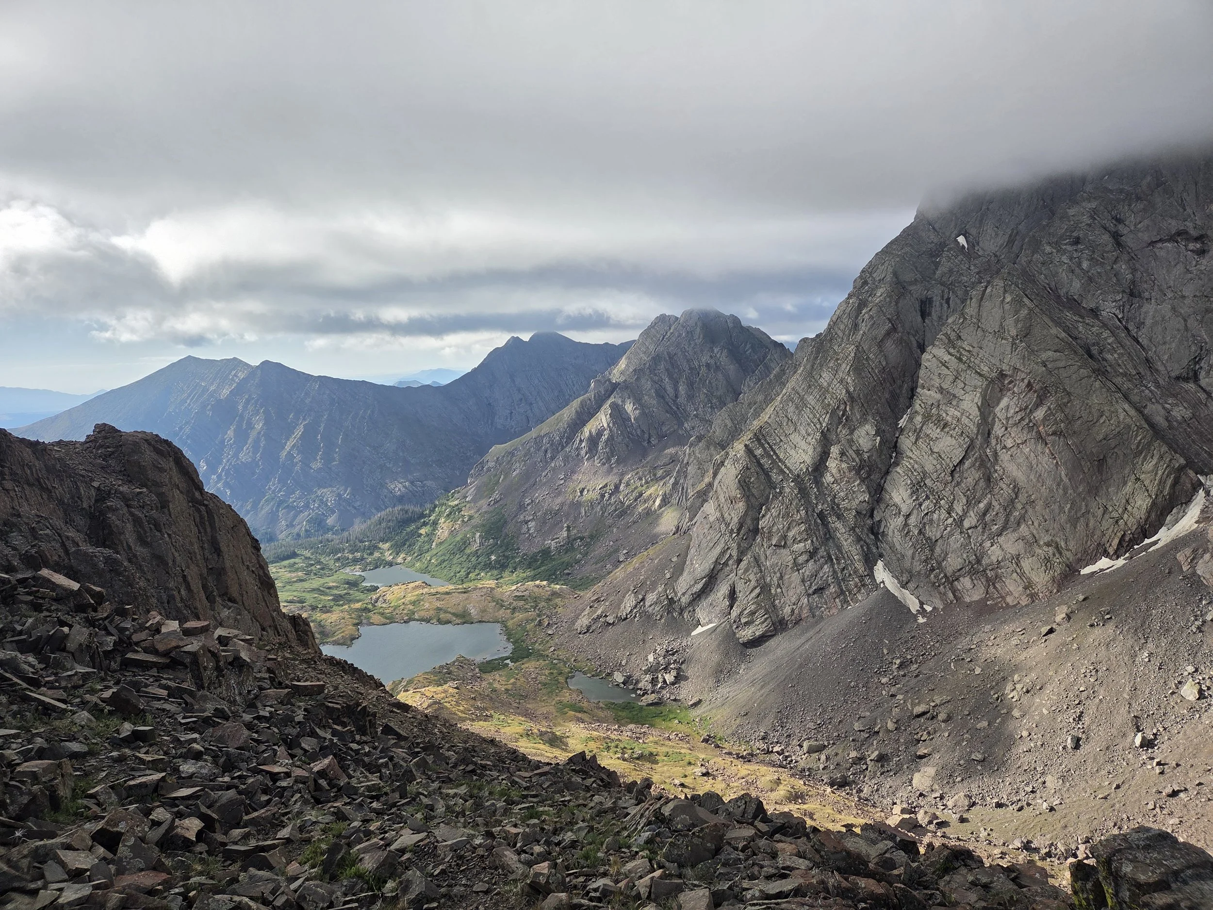
Segment 14
Sangre de Cristo High Route & Great Sand Dunes
Distance: 90.1 miles
Vertical: +22982', -22583'
Highlights:
Several 14ers + 13ers
Great Sand Dunes
Main Challenges:
Technical, highly exposed terrain
Extreme heat & long water carries
Lightning exposure above treeline
Scrambling Grade: Sustained Class 2 & 3, couple class 4 moves
Exposure: Very high
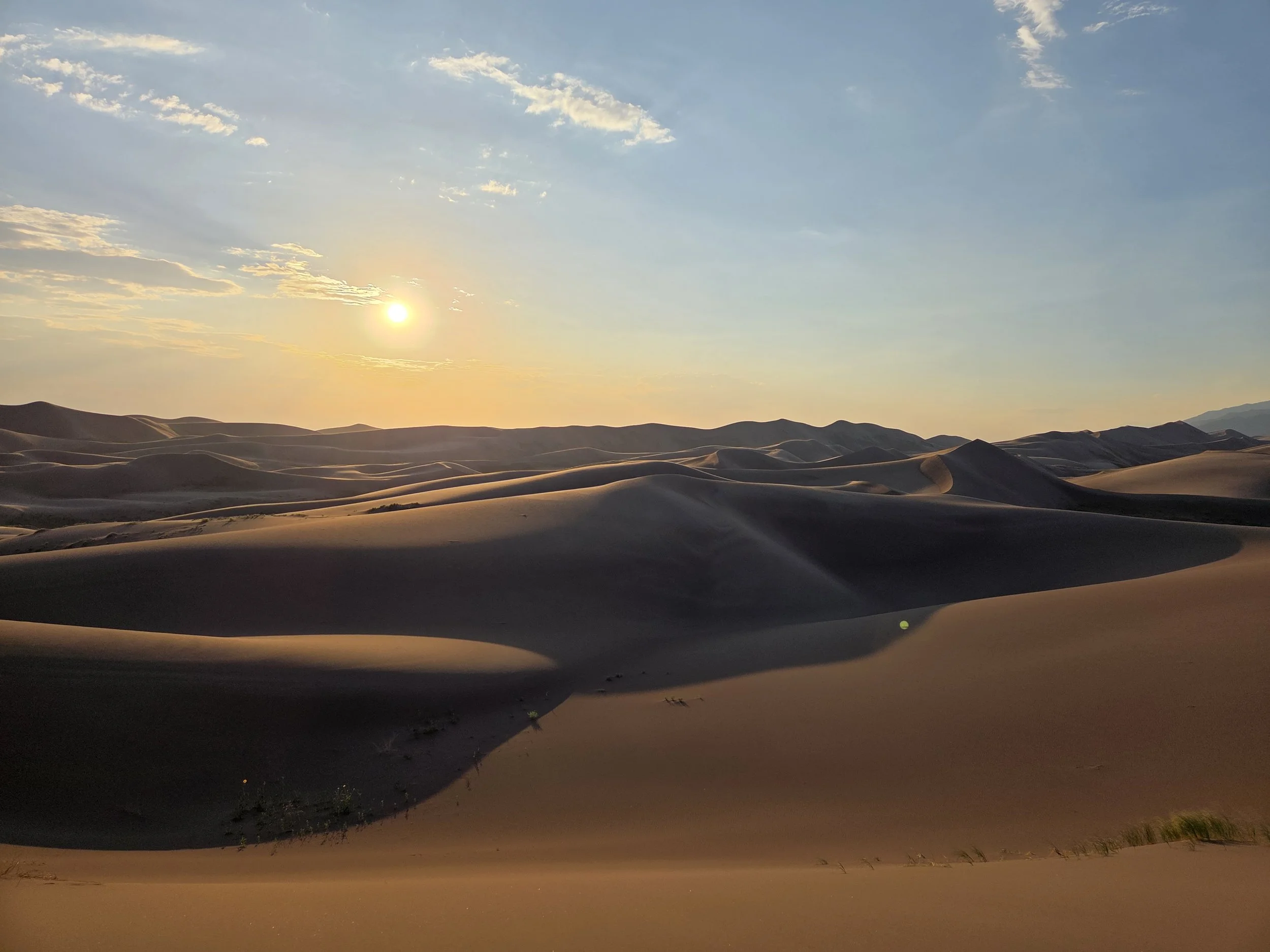
Great Sand Dunes National Park
Segment 14 is one of the Great Colorado Route’s most beautiful and brutal sections, snaking its way from Alamosa to Crestone along the rugged Sangres and Sand Dunes.
Be prepared for intense swings in temperature and terrain from the San Luis Valley to the summit of the several 14ers and 13ers to the Sand Dunes.
From the valley, the GCR goes up and over Ellingwood Point along Justin Simoni’s Sangre de Cristo Range High Route till Mosca Pass before dropping to Great Sand Dunes National Park.
The GCR then directly crosses the dunes offering spectacular views in exchange for slow-going sand travel in intense heat. The Sand Ramp Trail is a less brutal alternate.
The GCR then goes up Sand Creek to several high elevation passes, including Broken Hand Pass, before a demanding and highly exposed ridge traverse from Obstruction Peak to Challenger Point. The segment finally concludes with Willow Lake Trail down to the quirky town of Crestone.
There are very few “easier” options that don’t involve unpleasant road walks. We suggest folks who prefer to stay on trails skip from Alamosa to the National Park’s Visitor Center and take the Rainbow Trail Alternate.
Loading map…
Logistical Considerations
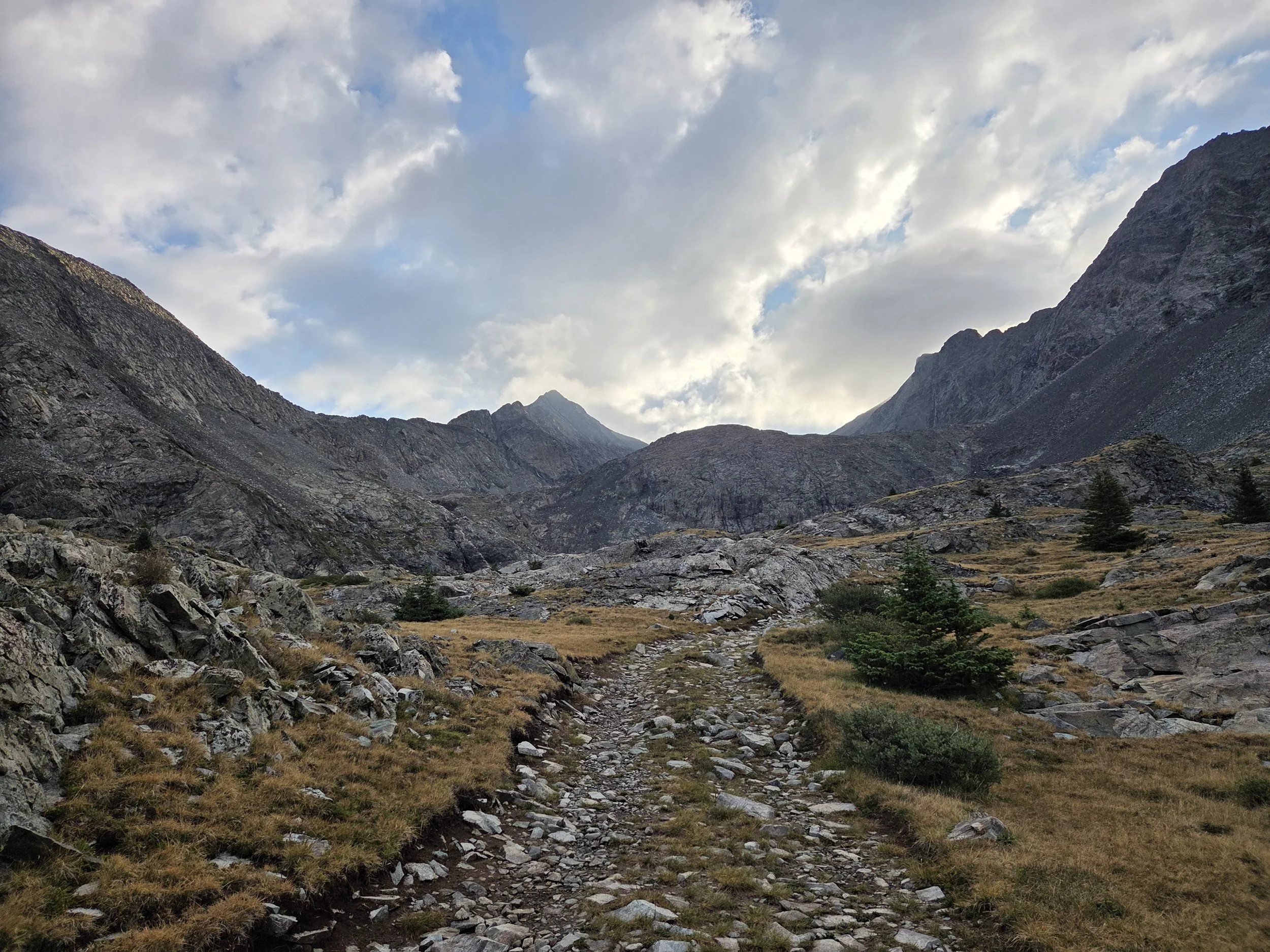
Ellingwood Point, Lake Como Road
Seasonal Closures
We are not aware of any official seasonal closures, but high snow can make sections difficult or impassable without specialized skillsets.
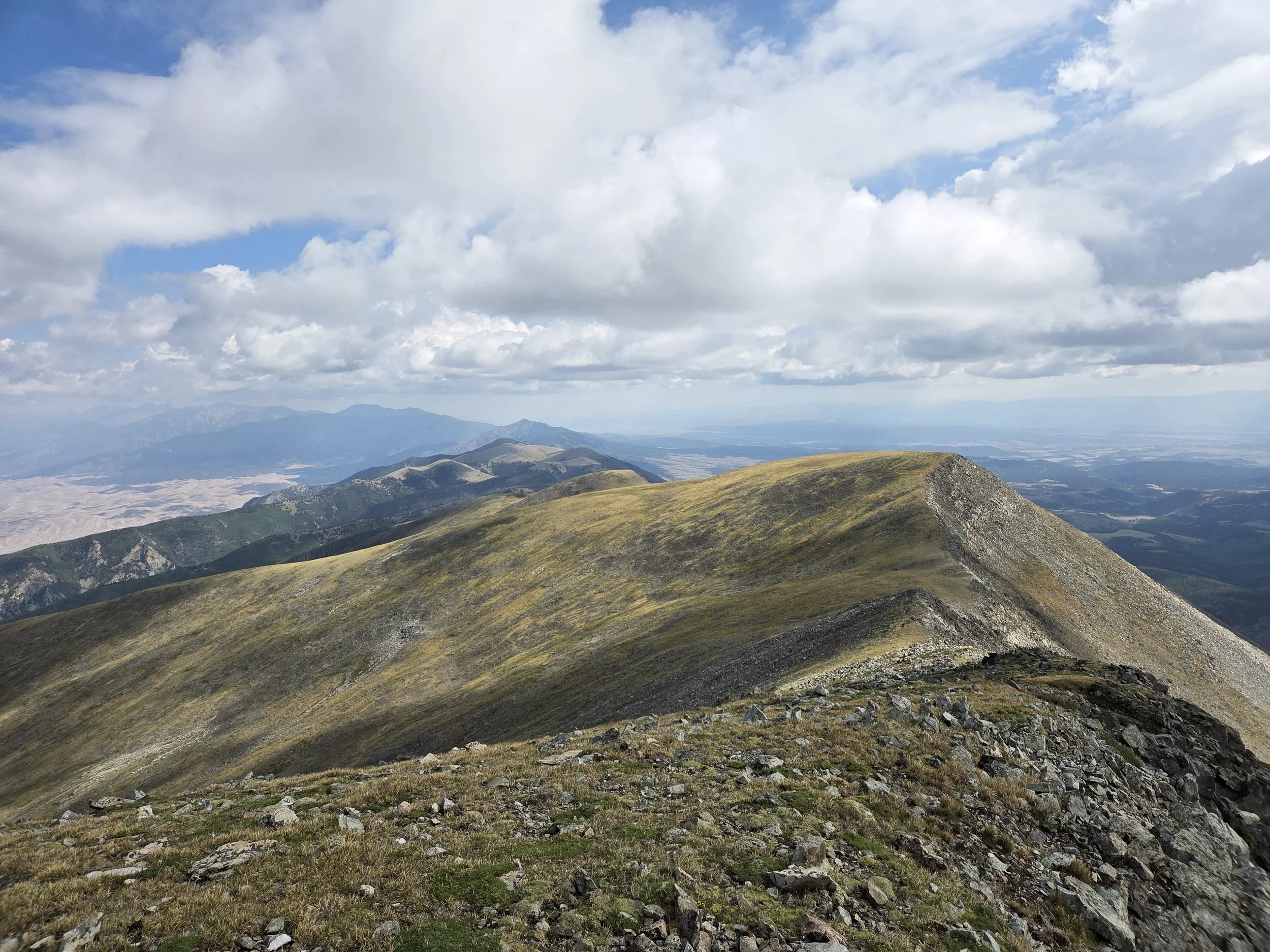
Sangre High Route from California Peak to Mosca Pass
Permits & Fees
Great Sand Dunes National Park Entrance Pass
Either $15 walk-up pass at the entrance gate, or America The Beautiful Pass
Backcountry Camping Permit for Great Sand Dunes National Park
“Free” with a $3 service fee on recreation.gov here.
Main route uses Dunes Backcountry permit.
Sand Ramp alternate uses designated sites permit.
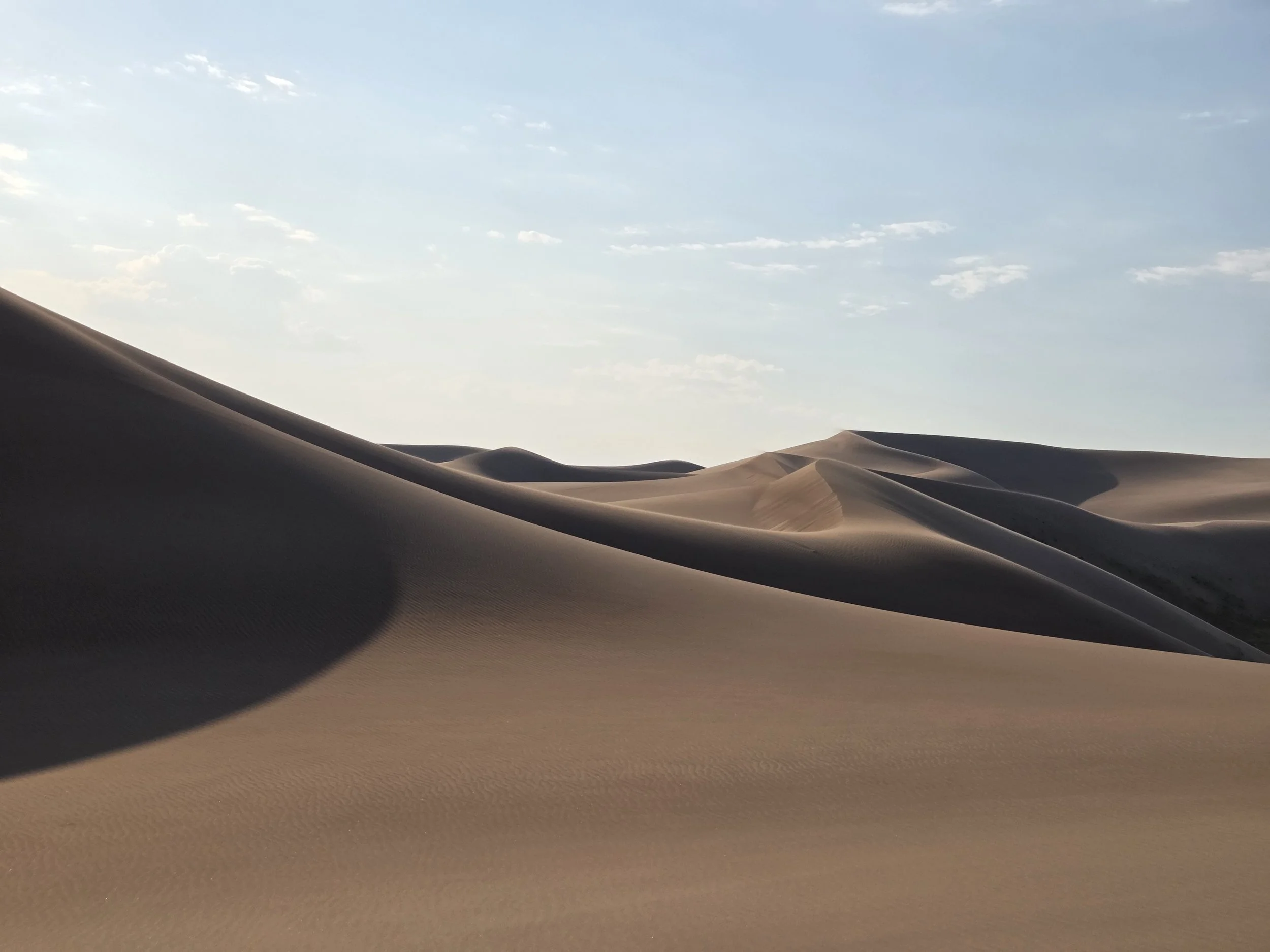
Great Sand Dunes
Water
This section has long water carries across slow-going sections and intense heat!!!
~25 miles from Alamosa to Holbrook Creek
~13 miles from California Gulch to Mosca Creek
Carry extra water for traversing the sand dunes and for the traverse from South Colony Lakes to Willow Lake!
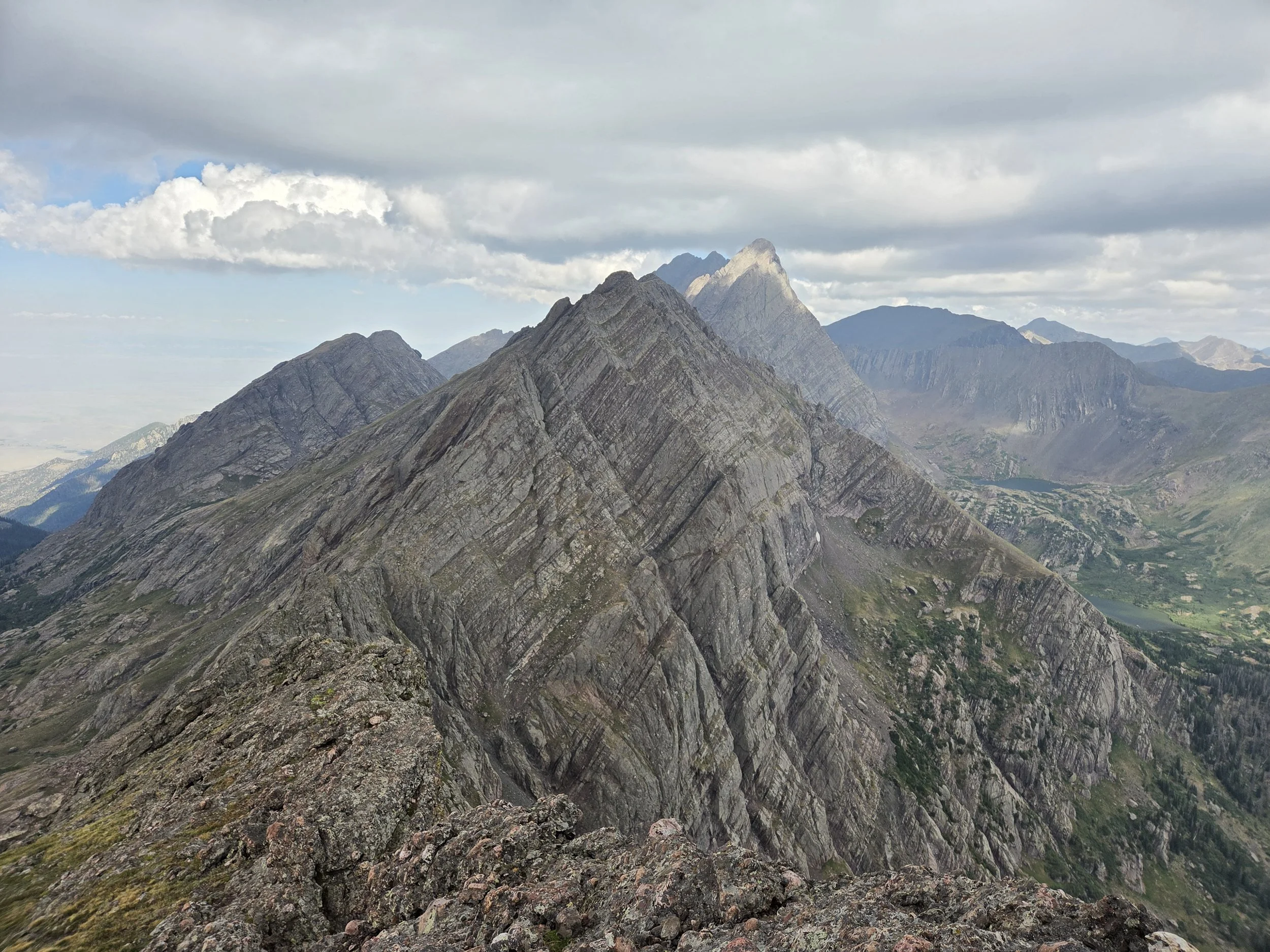
View of Broken Hand Peak
Camping
The first sensible camping from Alamosa is the base of Lake Como Road, though there is no water
Camping near Zapata Falls is restricted to the Zapata Falls Campground which requires a permit that can be purchased here
Camping in the Great Sand Dunes National Park requires a permit (see above)
Dispersed camping allowed inside the Dunes past the first ridgeline with a Dunes Backcountry Permit
Camping along the Sand Ramp Trail alternate is in designated sites only with a permit for those sites.
Camping in the Preserve doesn’t require permits.
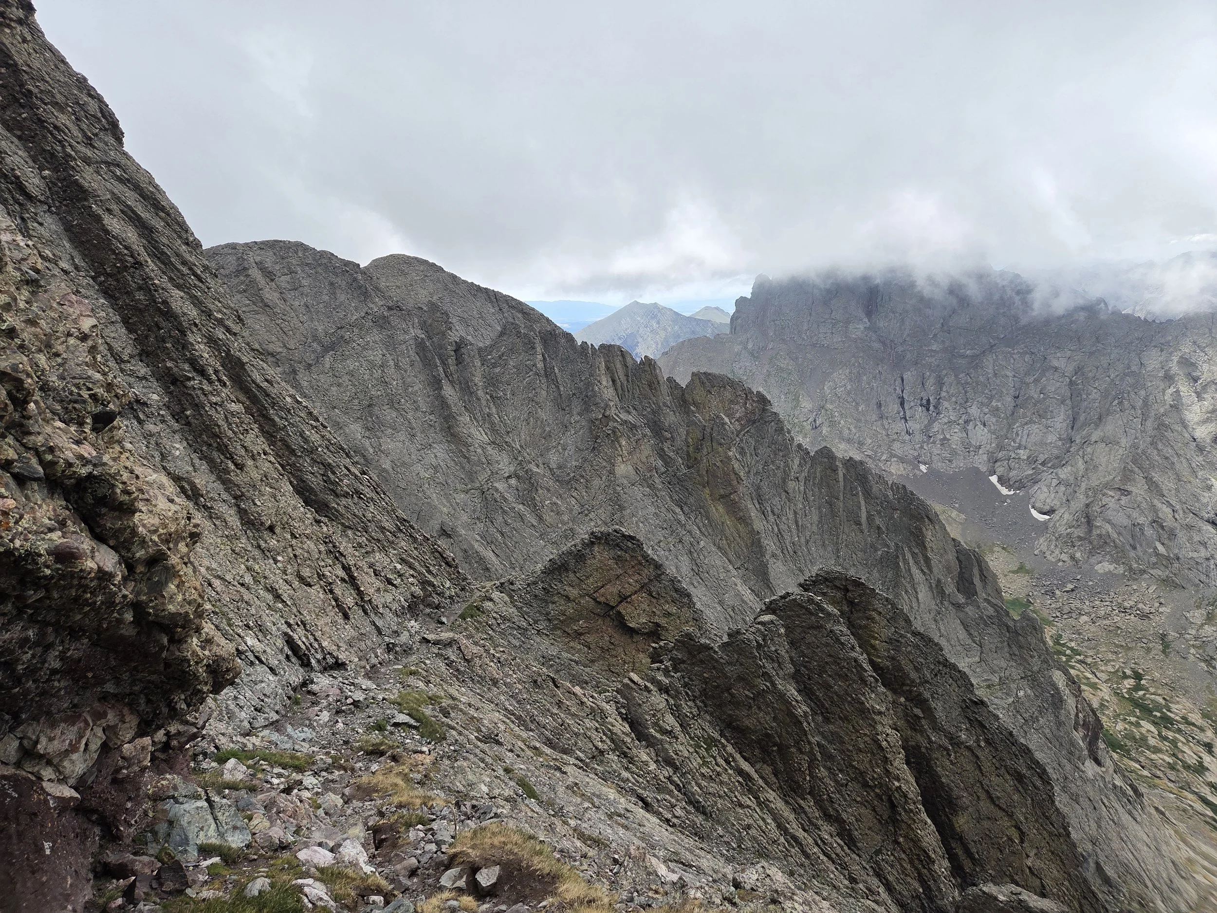
Kit Carson Catwalk
Other Considerations
Extreme Heat: The San Luis Valley and Great Sand Dunes can get extremely hot in the summer. The sand can get up to 150°F during peak heat! Do not traverse the Sand Dunes in the afternoon.
Ask the rangers what time is appropriate to enter dunes (typically enter around 5pm, camp halfway, finish remainder next morning).
Snow Travel: On a high snow year, thru hikers may encounter high snow levels when traversing this section and are encouraged to carry appropriate gear (e.g., microspikes and ice axe), know how to use them, and have backup plans if their planned route is unsafe or impassable.