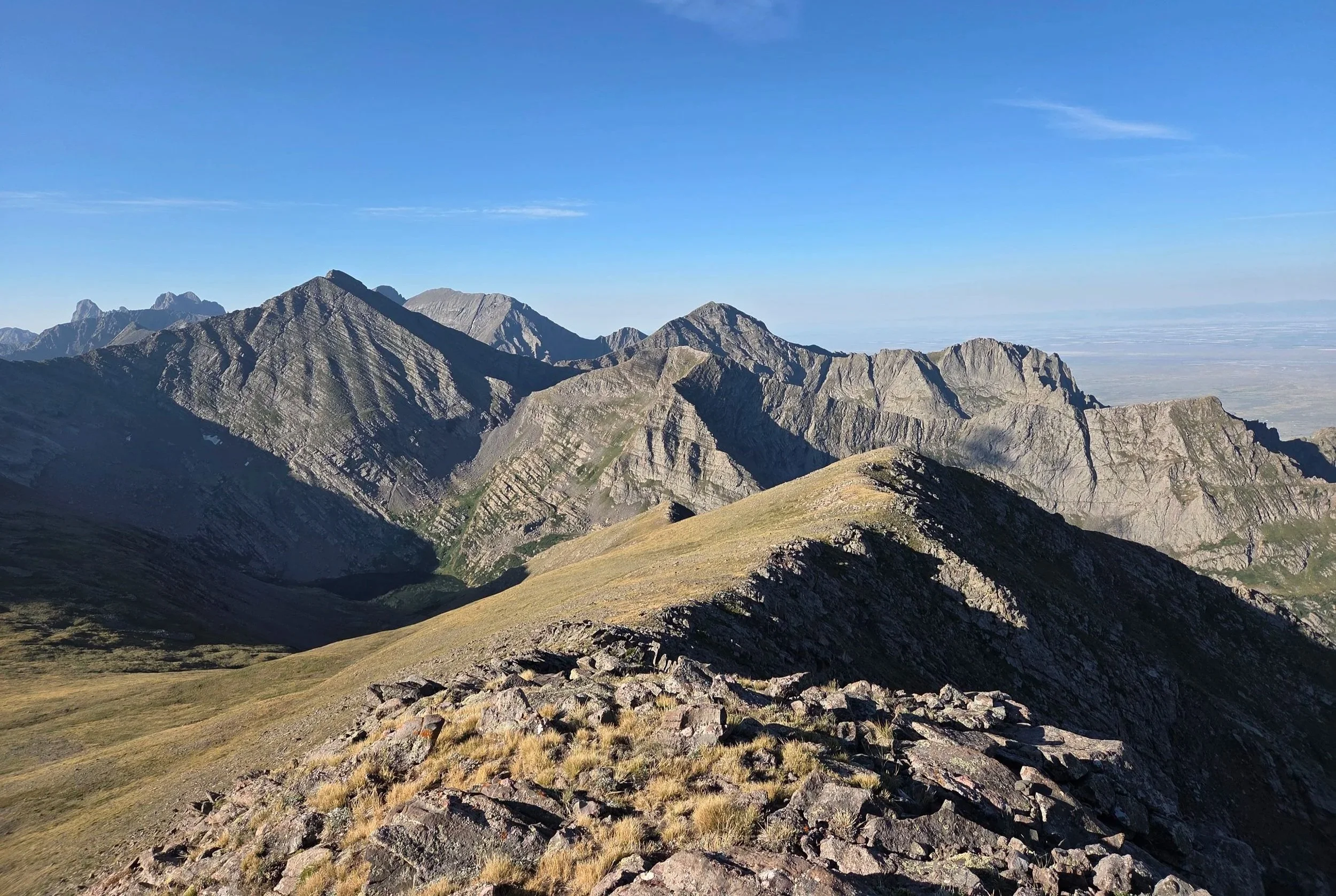
Segment 15
Rito Alto Loop & Wet Mountain Valley
Distance: 34.3 miles
Vertical: +8978', -9027'
Highlights:
North Crestone Lake
Phantom Terrace
Views of various 13ers
Main Challenges:
Weather exposure above treeline
Scrambling Grade: Class 2 over Comanche Peak, otherwise trails
Exposure: Moderate
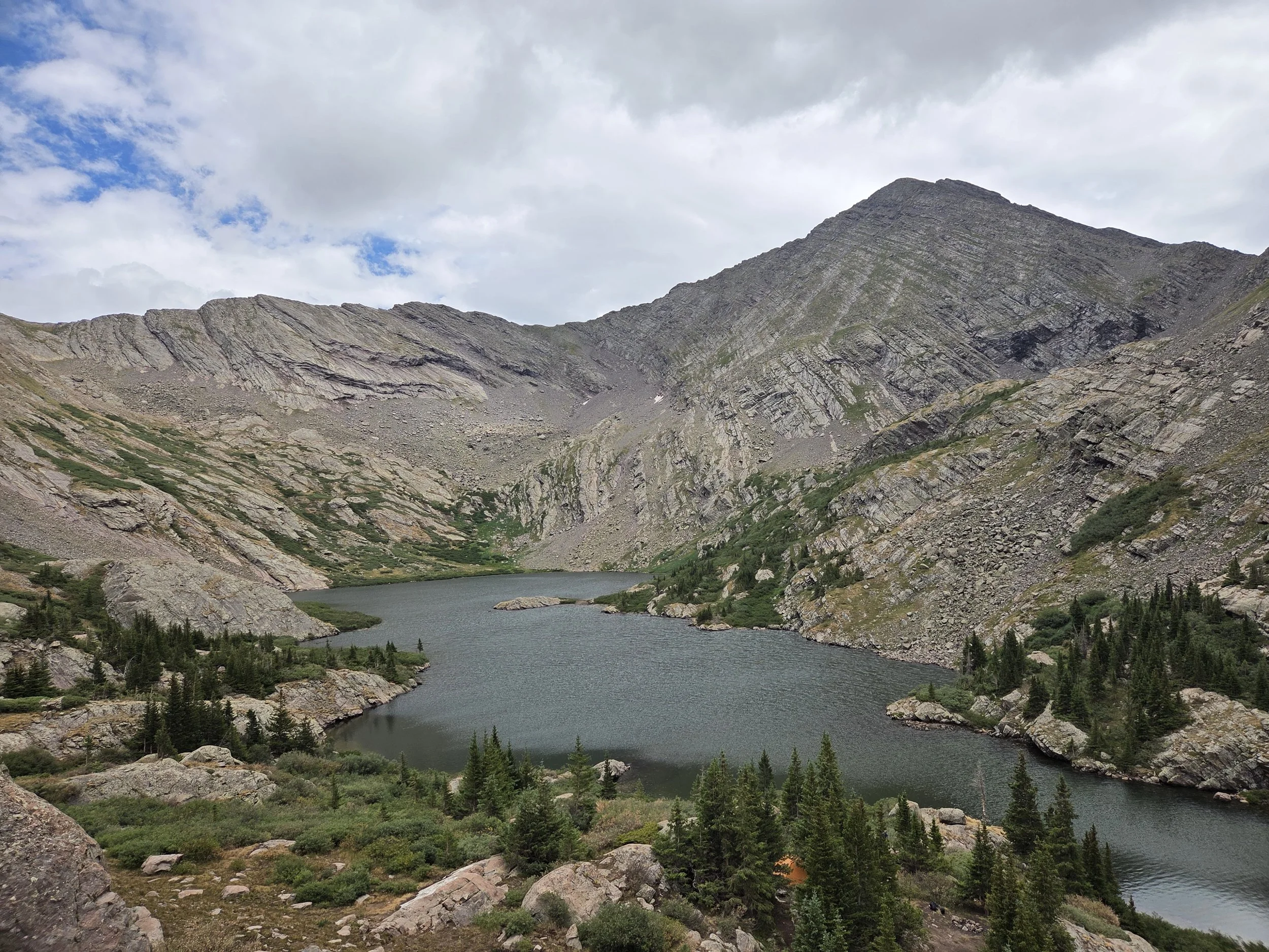
North Crestone Lake
From Crestone, the GCR reenters the Sangres to hike parts of the popular Rito Alto Loop before dropping down to Westcliffe in the Wet Mountain Valley.
To join the Rito Alto Loop, the GCR follows North Crestone Trail to a beautiful lake before scrambling up and over Comanche Peak to join Comanche Trail. From there, the trails take you across the stunning Phantom Terrace before joining the main Rito Alto Loop from Venable Pass to Hermit Pass.
After Hermit, the GCR takes the dirt road across the Wet Mountain Valley to the town of Westcliffe. In the future, we hope to explore if North Taylor Trail is accessible from near Rito Alto Peak. We will also later explore the northern continuation of the Sangres High Route to Salida and establish a route through either the Sawatch Range or Mosquito Range to reconnect with the GCR near Breckenridge.
Loading map…
Logistical Considerations
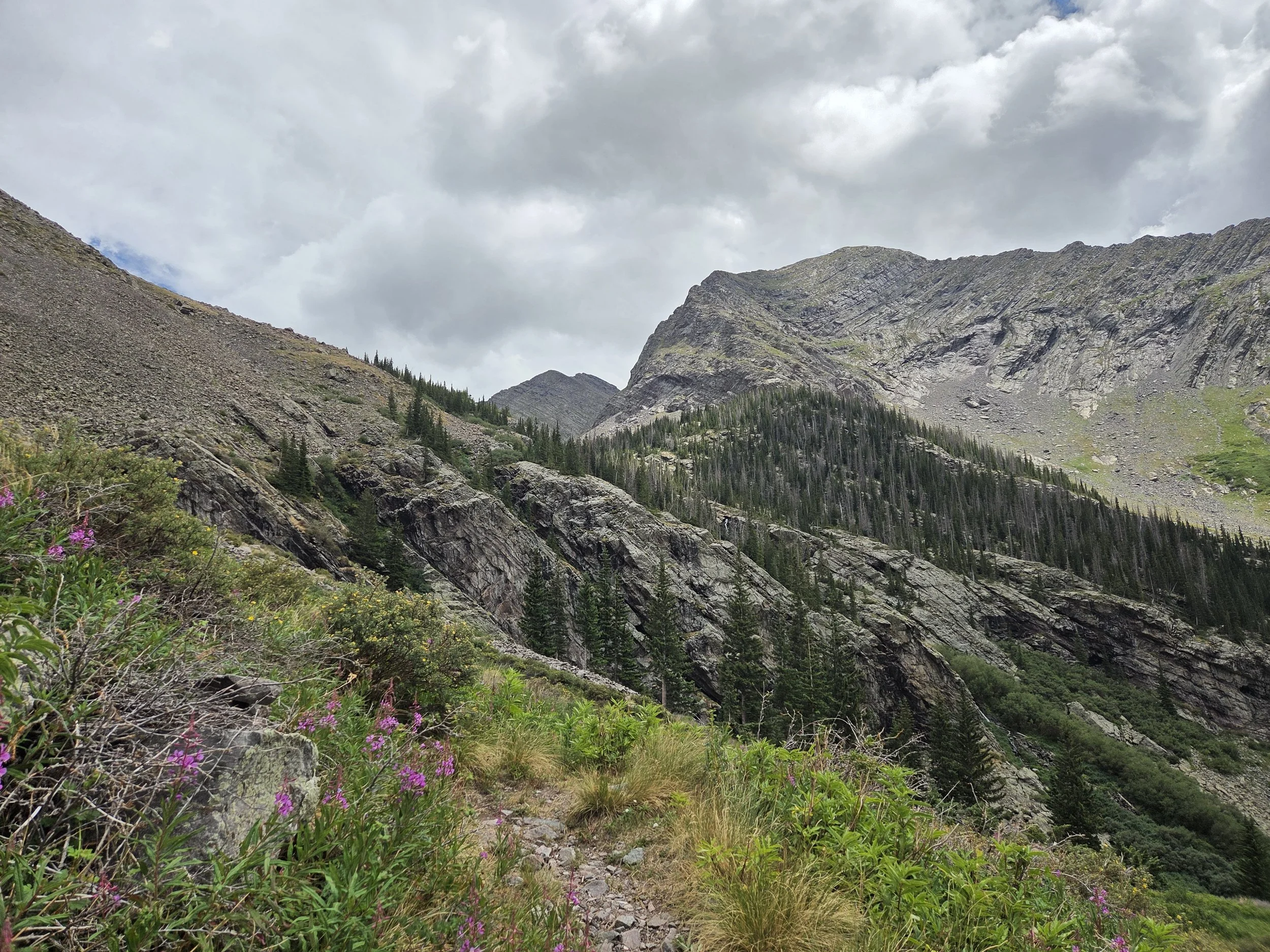
North Crestone Trail
Seasonal Closures
We are not aware of any official seasonal closures, but high snow can make sections difficult or impassable without specialized skillsets.
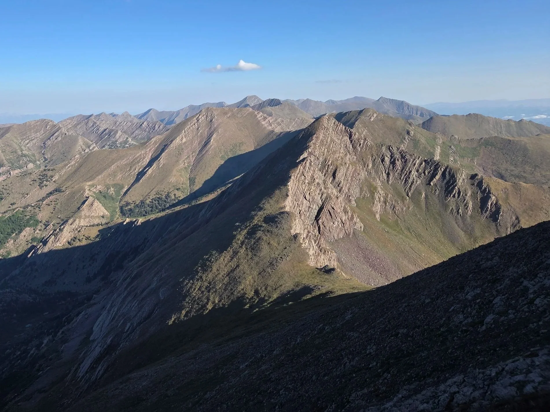
Comanche Peak
Permits & Fees
There are no permits or fees along this segment.
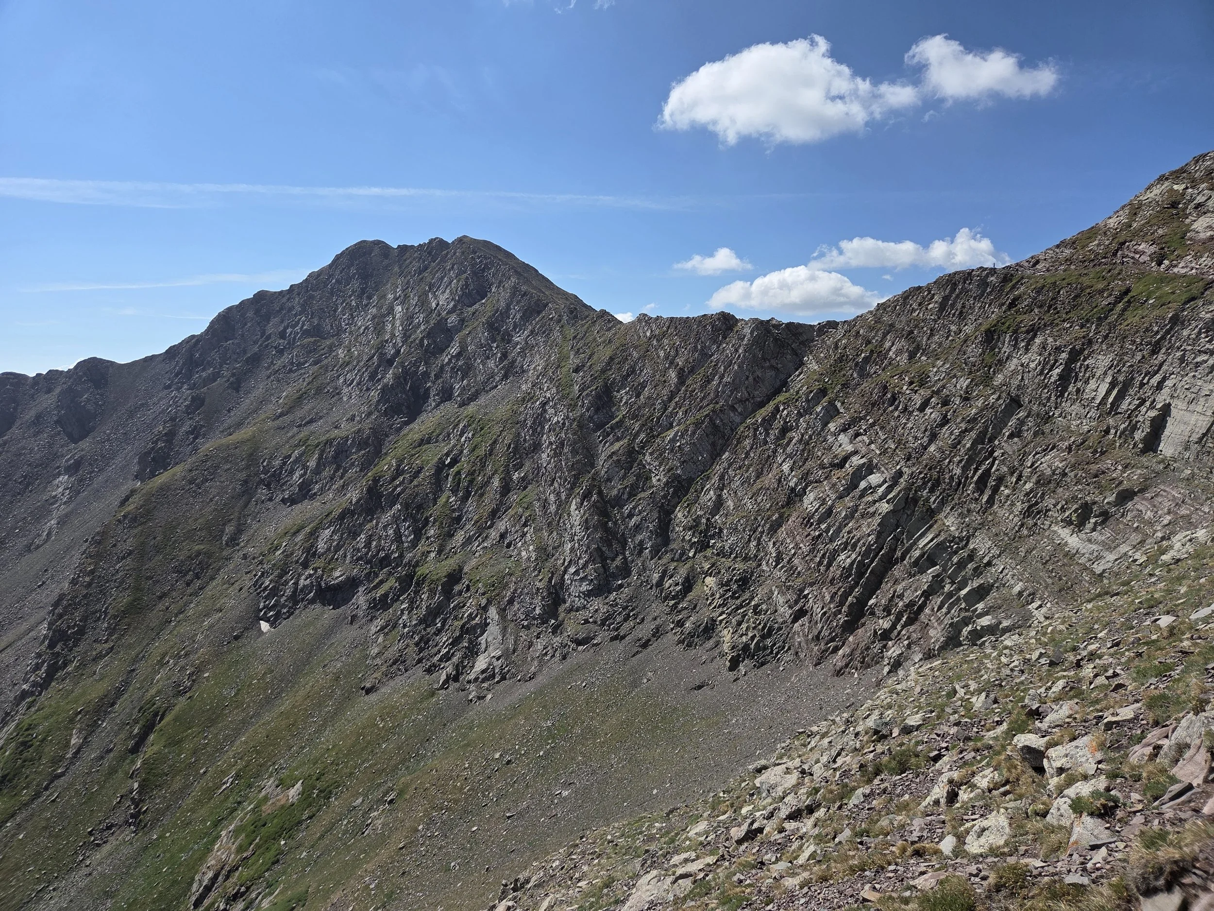
Phantom Terrace
Water
Water along this segment is less problematic, but be aware of extended time above treeline and streams.
Carry extra water for the road walk into Westcliffe since the Wet Mountain Valley can get very hot in the summer.
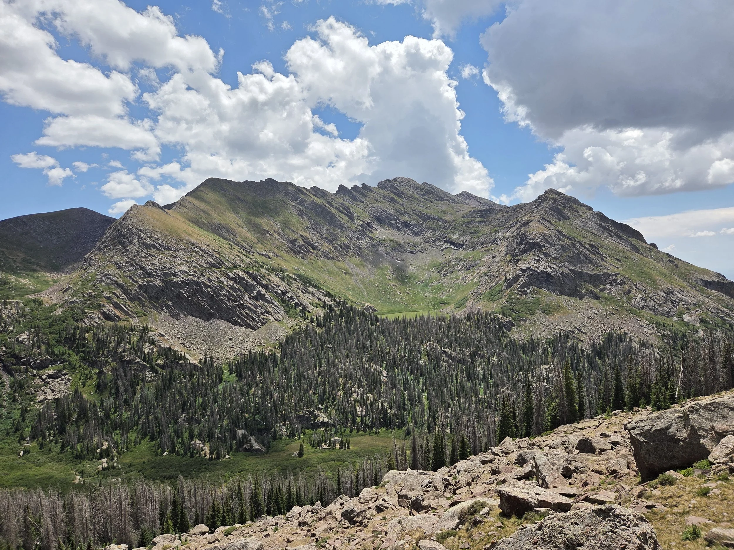
North Fork Crestone Trail
Camping
Camping is somewhat sporadic along this segment. Plan ahead, and be wary of extended stretches above treeline.
Hermit Lake is a short side spur to a popular camping area away from Hermit Road shortly before Westcliffe.
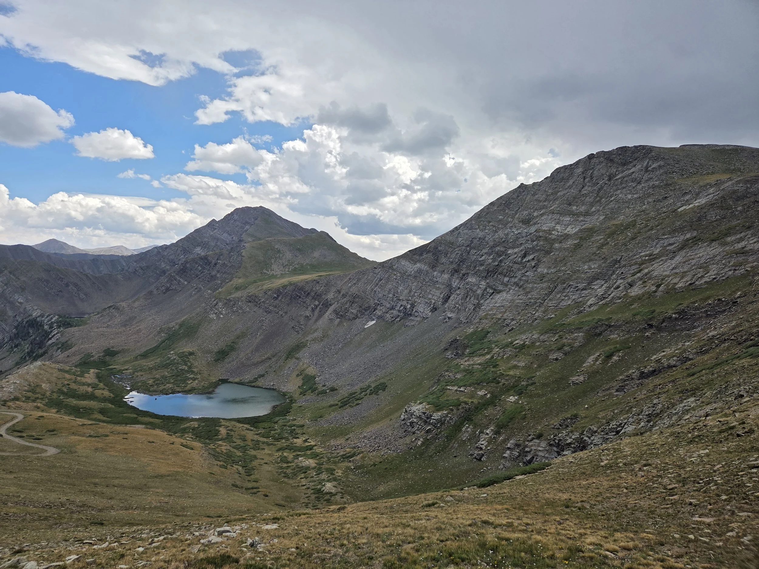
Horseshoe Lake from Hermit Road
Other Considerations
Extreme Heat: Wet Mountain Valley can get extremely hot in the summer. Plan ahead.
Snow Travel: On a high snow year, thru hikers may encounter high snow levels when traversing this section and are encouraged to carry appropriate gear (e.g., microspikes and ice axe), know how to use them, and have backup plans if their planned route is unsafe or impassable.