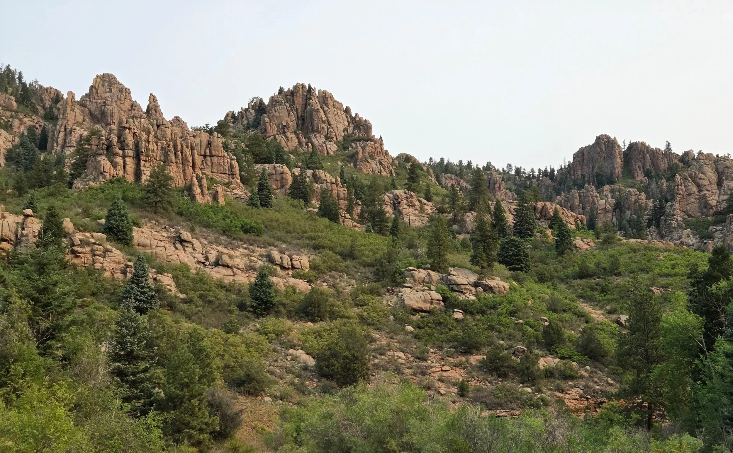
Segment 17
Oil Well Flats & Phantom Canyon
Distance: 47.9 miles
Vertical: +8551', -4165'
Highlights:
Skyline Drive
Red Canyon
Phantom Canyon
Main Challenges:
Desert heat
Long water carries
Staying on trail along Cooper Mountain
Scrambling Grade: Light Class 2 if lose trail
Exposure: Minimal
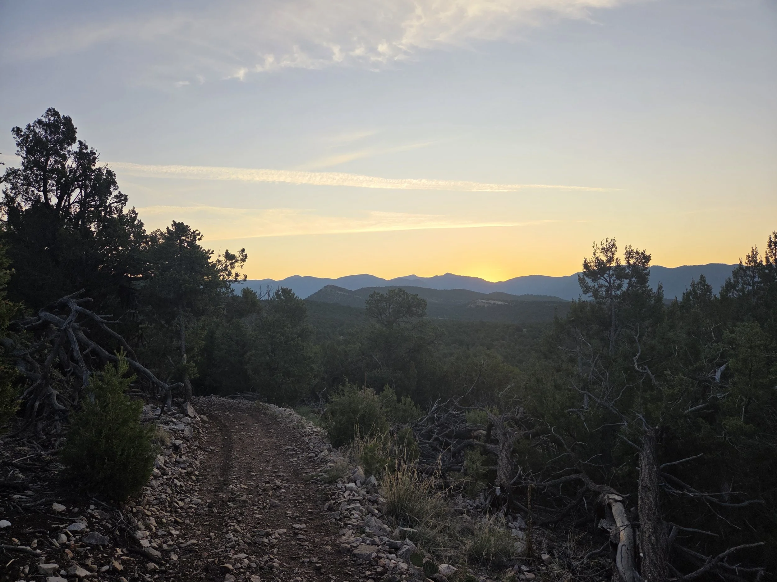
Seep Springs Recreation Area
Segment 17 takes the scenic path from Cañon City to Victor. After Skyline Drive and its fossilized dinosaur footprints, the GCR visits Seep Springs Recreation Area, Red Canyon, and Oil Well Flats before going over Cooper Mountain to Phantom Canyon.
There are very limited water sources along this segment, and thru hikers will likely hit it during peak summer heat, so plan ahead!
Folks desiring a less grueling option can alternatively consider following the American Discovery Trail’s route from Cañon City to Cripple Creek via Shelf Road, but it is a road walk the entire way.
In the future, we hope to establish a cross-country route through Beaver Creek Wilderness Study area, but be warned it appears to have lots of cliffs, mountain lions, and narrow corridors of public lands.
Loading map…
Logistical Considerations
Seasonal Closures
We are not aware of any official seasonal closures, but peak summer heat can make this section dangerous.
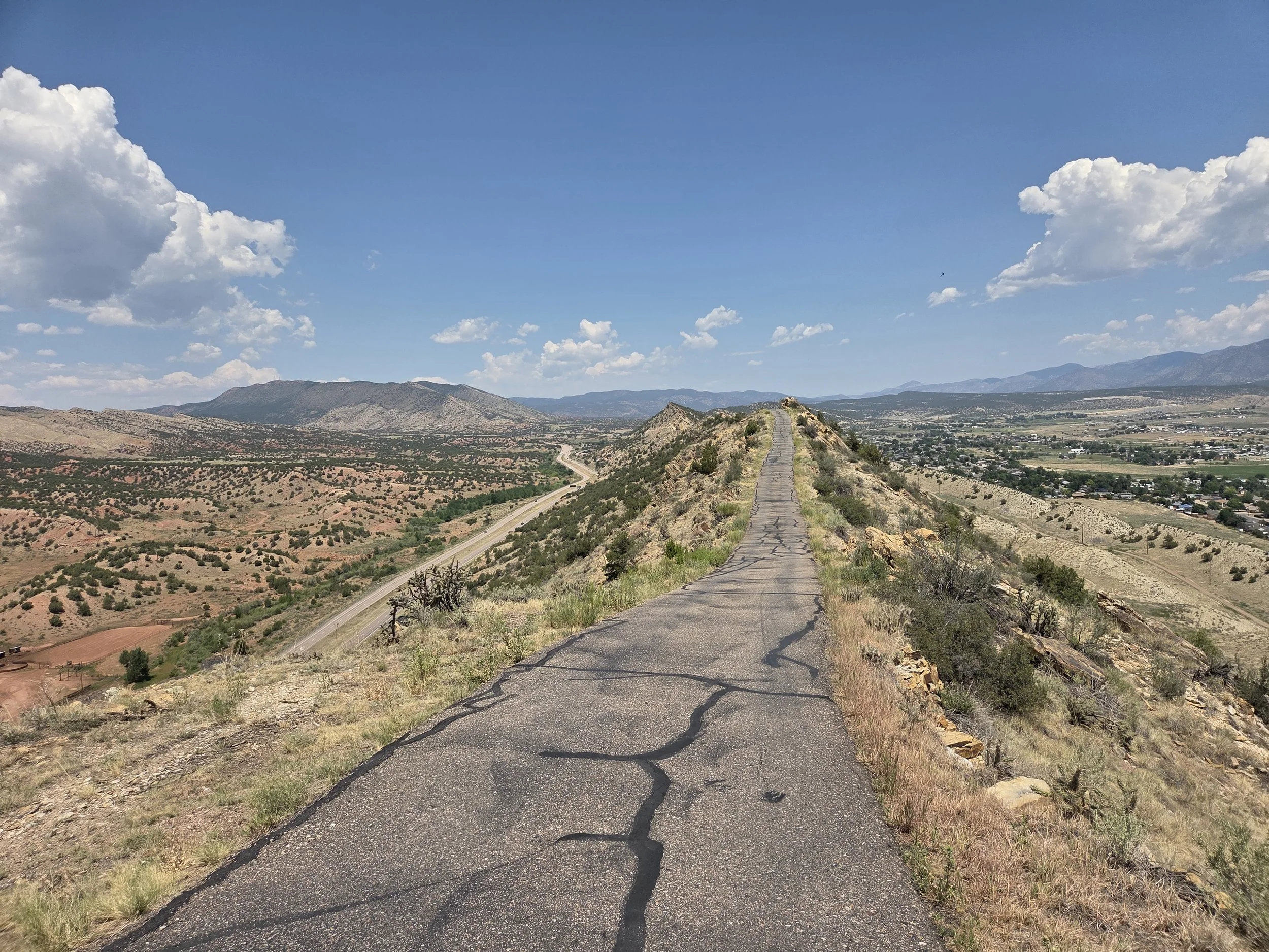
Skyline Drive
Permits & Fees
There are no permits or fees along this segment.
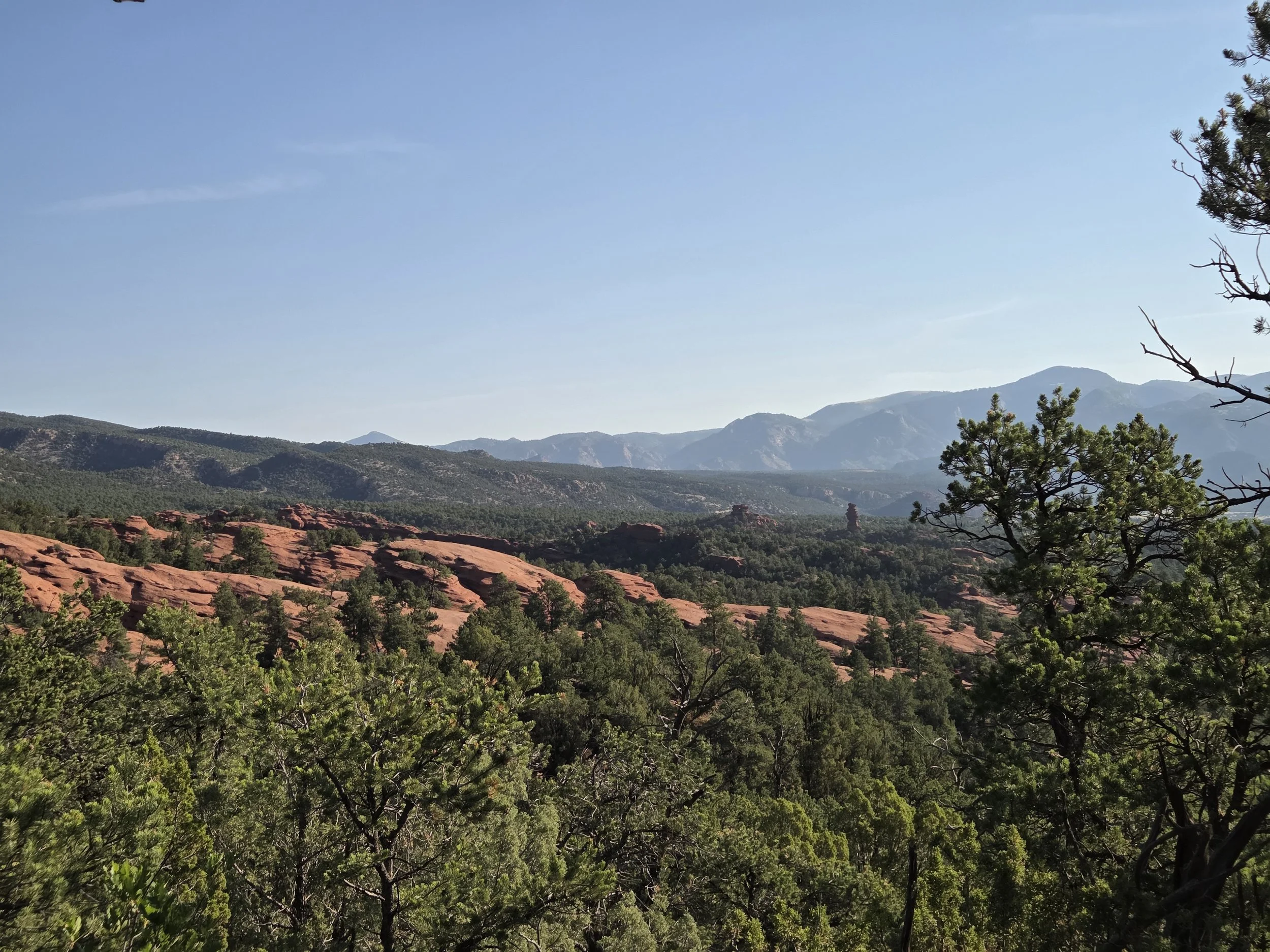
Red Canyon
Water
There are very few reliable water sources along this segment:
Fly shop & rafting outfitter ~3.5 miles from Cañon City.
Only available if open.
Fourmile Creek ~21 miles from Cañon City.
Eightmile Creek ~16 miles from Fourmile Creek.
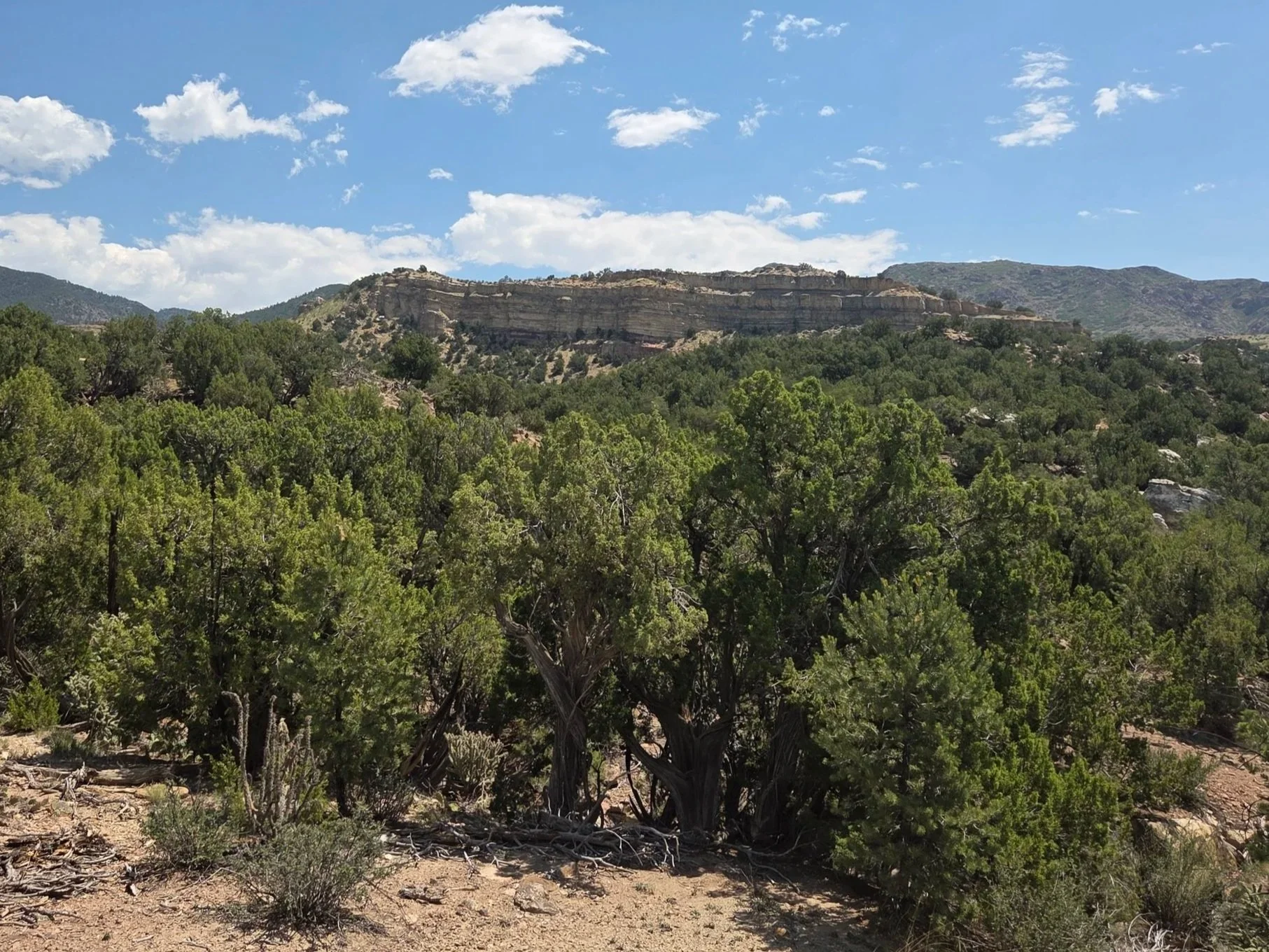
Oil Well Flats
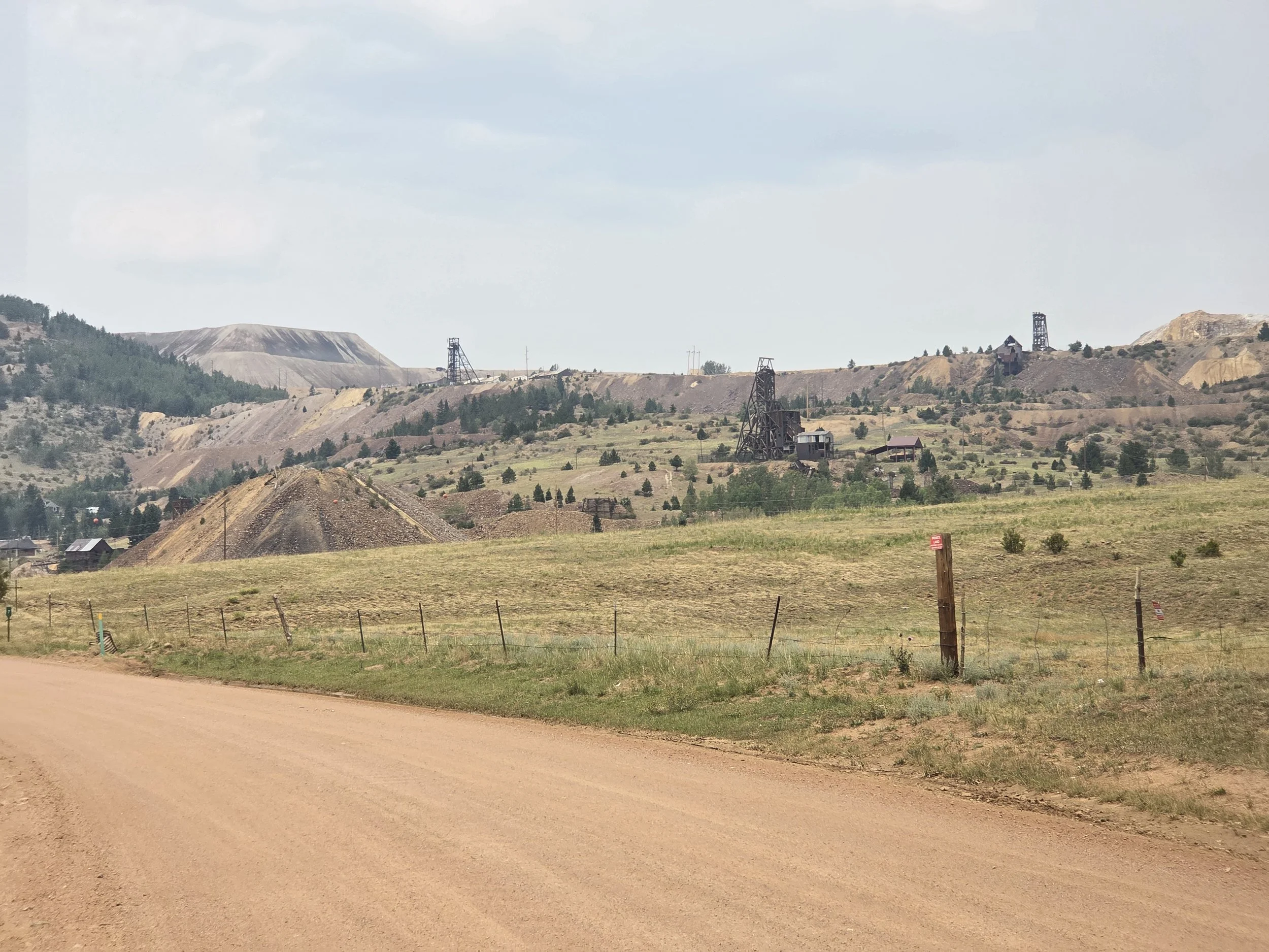
Mines near Victor, Colorado
Camping
Camping is generally nonproblematic along the public lands portions of this segment, though most of it is car accessible. Also be mindful of when leaving public lands along the roadwalks.
Other Considerations
Extreme Heat: This segment can get extremely hot in the summer, creating extra difficulties for the long water carries.
Flash Flooding: Some portions of this segment could flash flood. Plan ahead and pay attention to both flooding and heavy precipitation forecasts.