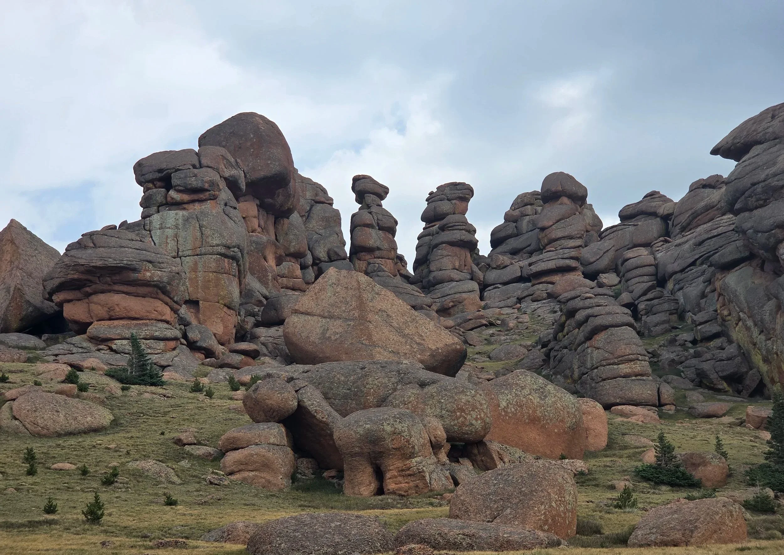
Segment 20
Hackett Gulch & Lost Creek Wilderness
Distance: 73.1 miles
Vertical: +12565', -14009'
Highlights:
Hackett Gulch
Lost Creek Rock Formations
Bison Peak
Main Challenges:
Desert heat, especially along burn scar.
Sharing dirt roads with Jeeps
Scrambling Grade: Mostly trails, small easy cross-country sections
Exposure: Minimal
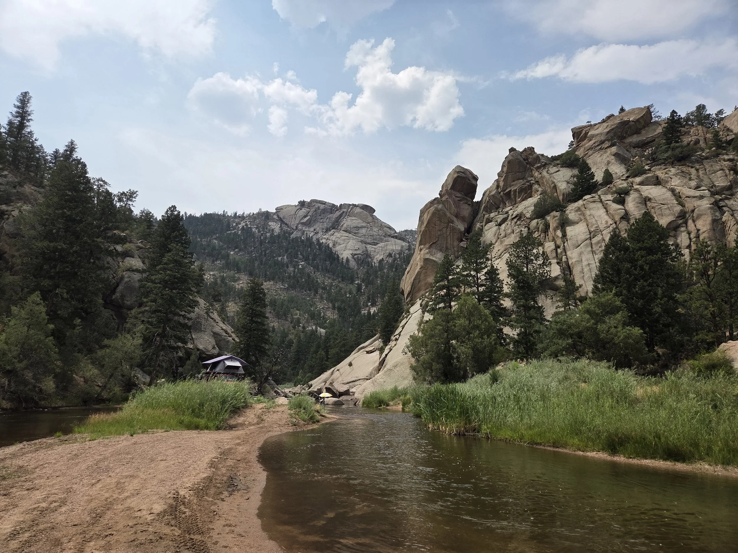
Hackett Gulch, Pikes National Forest
Segment 20 connects Divide to Bailey along Pikes National Forest and Lost Creek Wilderness.
We encountered several setbacks and frustrations when scouting this segment in 2026, and plan to add various improvements between Crags Campground (Segment 19) and Hackett Gulch once we get the chance to scout them in person.
From Divide, the GCR works its way towards the stunning and slept on Hackett Gulch where you then ford the South Platte River (the same one that runs through Denver). Once on the other side, the GCR traces the prettiest parts of a popular backpacking loop in Lost Creek Wilderness. A short side spur to the summit of Bison Peak is highly recommended.
From there, the GCR briefly says hello to the Colorado Trail before splitting from it to drop directly into the town of Bailey. Folks in need of a shortcut can alternatively stay on the Colorado Trail till Georgia Pass, but this misses the scenic Mount Evans Wilderness and 13ers traverse along the Continental Divide Trail.
Loading map…
Logistical Considerations
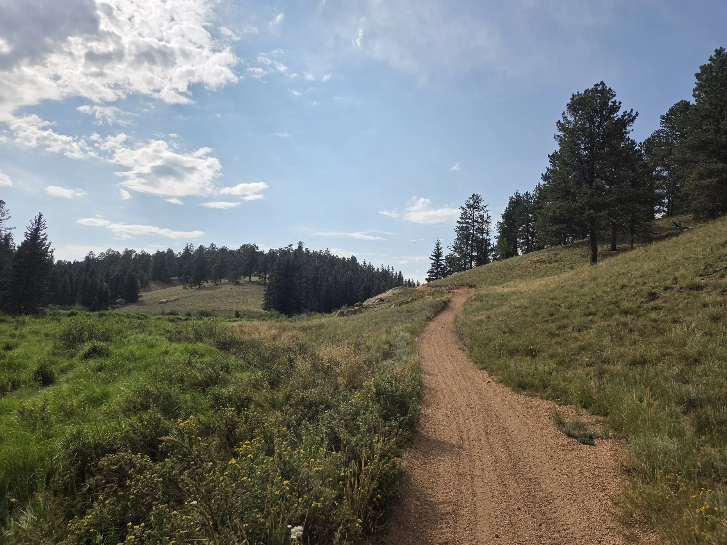
ATV trail in Pikes National Forest
Seasonal Closures
We are not aware of any official seasonal closures along this segment. Peak summer heat can make traversing the Hayman Fire Burn Scar near Hackett Gulch a challenge.
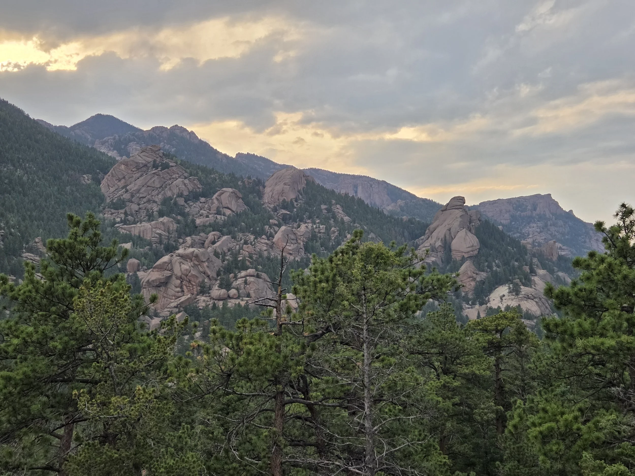
Lost Creek Wilderness
Permits & Fees
There are no permits or fees along this segment.
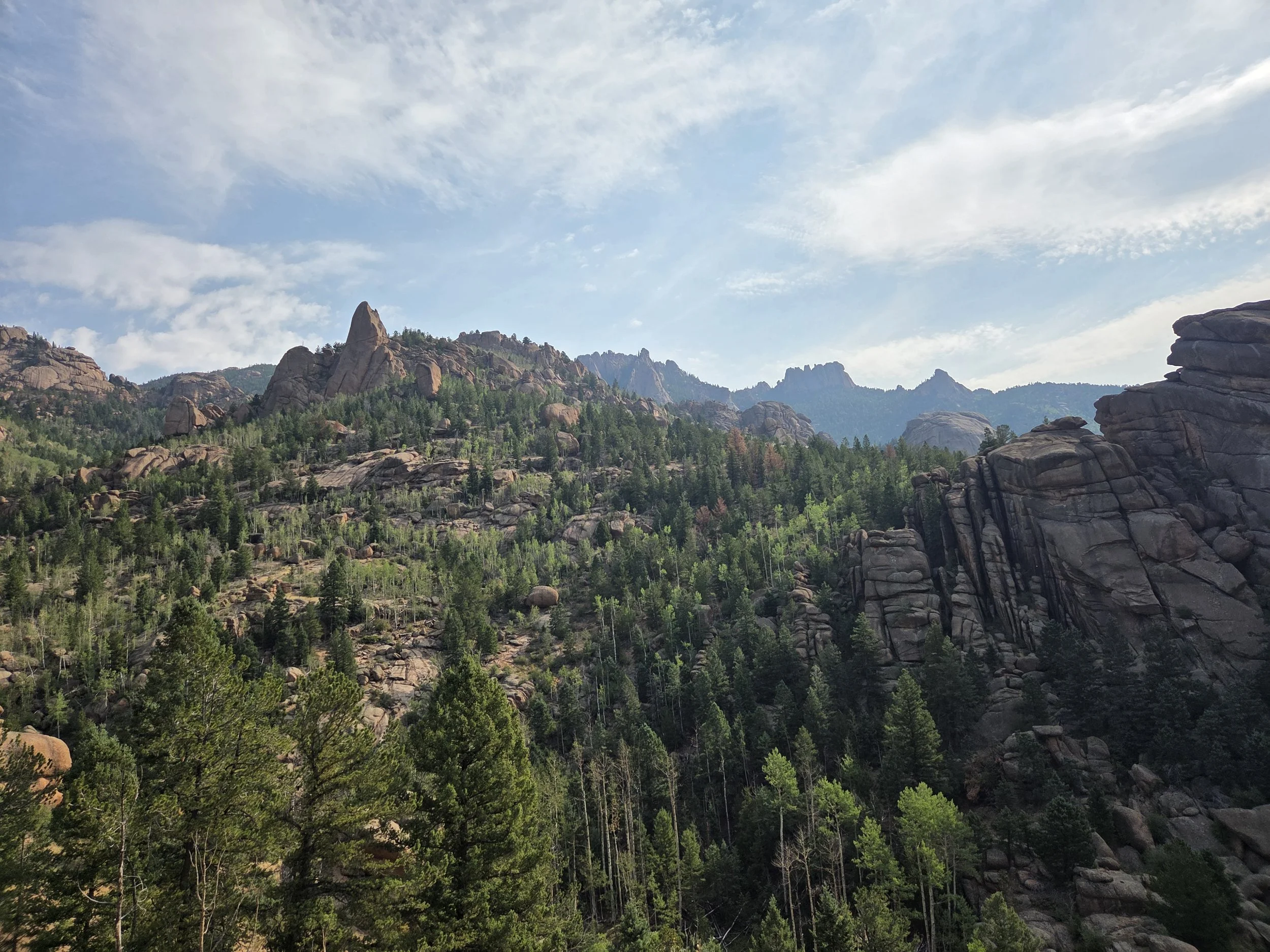
The Tights, Lower Grape Creek WSA
Water
Water carries along this segment are moderate in length. Non-disgusting water is unreliable between Divide and the South Platte River. Refer to map above for what worked in 2026.
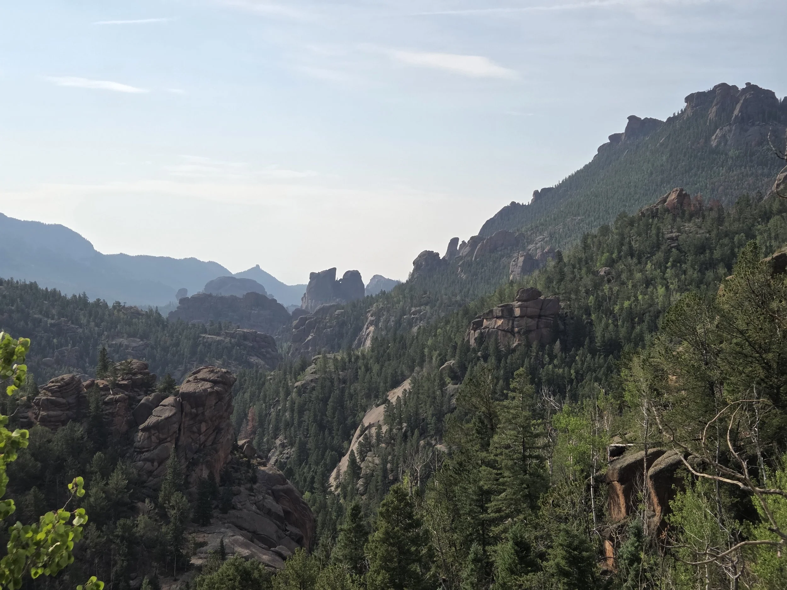
Lost Creek Wilderness
Camping
Camping is generally easy to come by along this segment, though be mindful of private property. The jeep trails between Divide and Lost Creek Wilderness have ample car camping options. Lost Creek Wilderness has various dispersed options as well.
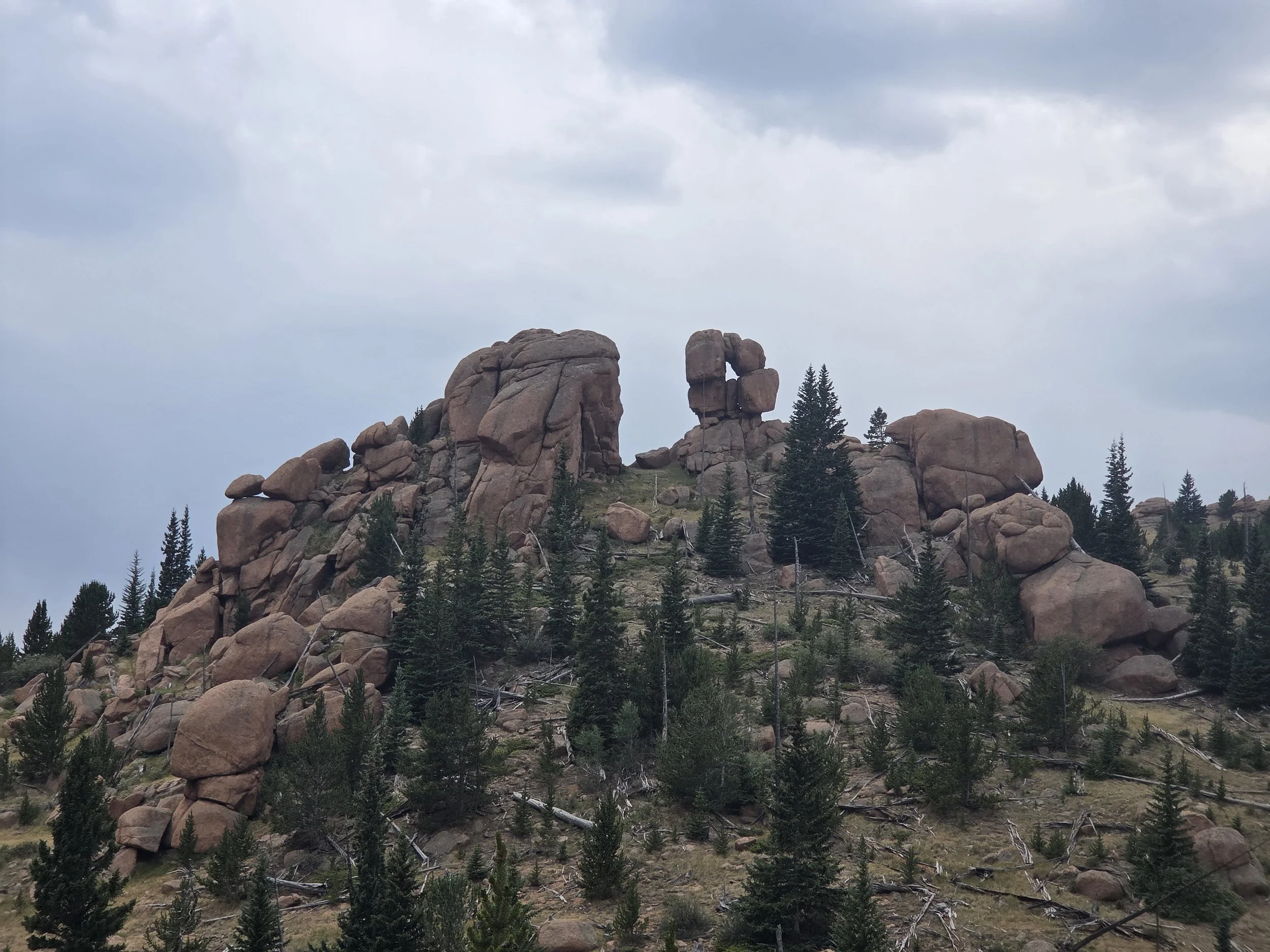
Natural arch near McCurdy Mountain
Other Considerations
Extreme Heat: This segment can get extremely hot in the summer, creating extra difficulties for the long water carries.
Burn Scar: This segment passes through the Hayman Fire Burn Scar near Hackett Gulch. This makes an already hot section even more sun exposed, plus the risk of snags.
Fording the South Platte: During very high water, fording the South Platte River in Hackett Gulch can be unsafe. There are often Jeeps around who might be able to assist.