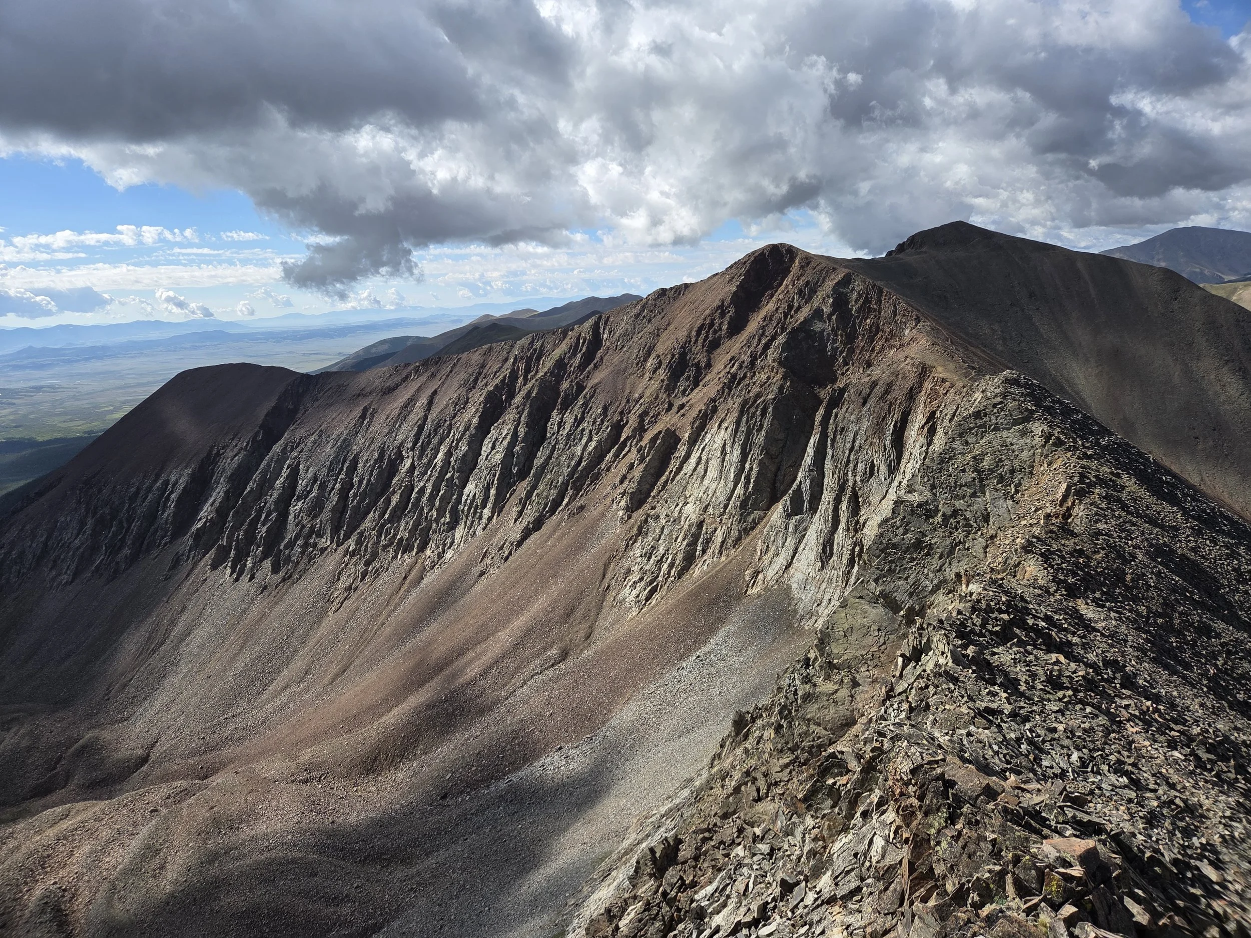
Segment 21
Blue Sky & Tenmile Traverse
Distance: 90.7 miles
Vertical: +26,956', -25,582'
Highlights:
Mount Evans Wilderness
Many, many 13ers
Vast majority of Tenmile Range
Main Challenges:
Thunderstorm risk above treeline
Lots of vertical gain
Scrambling Grade: Sustained Class 2 & 3 on ridges
Exposure: High
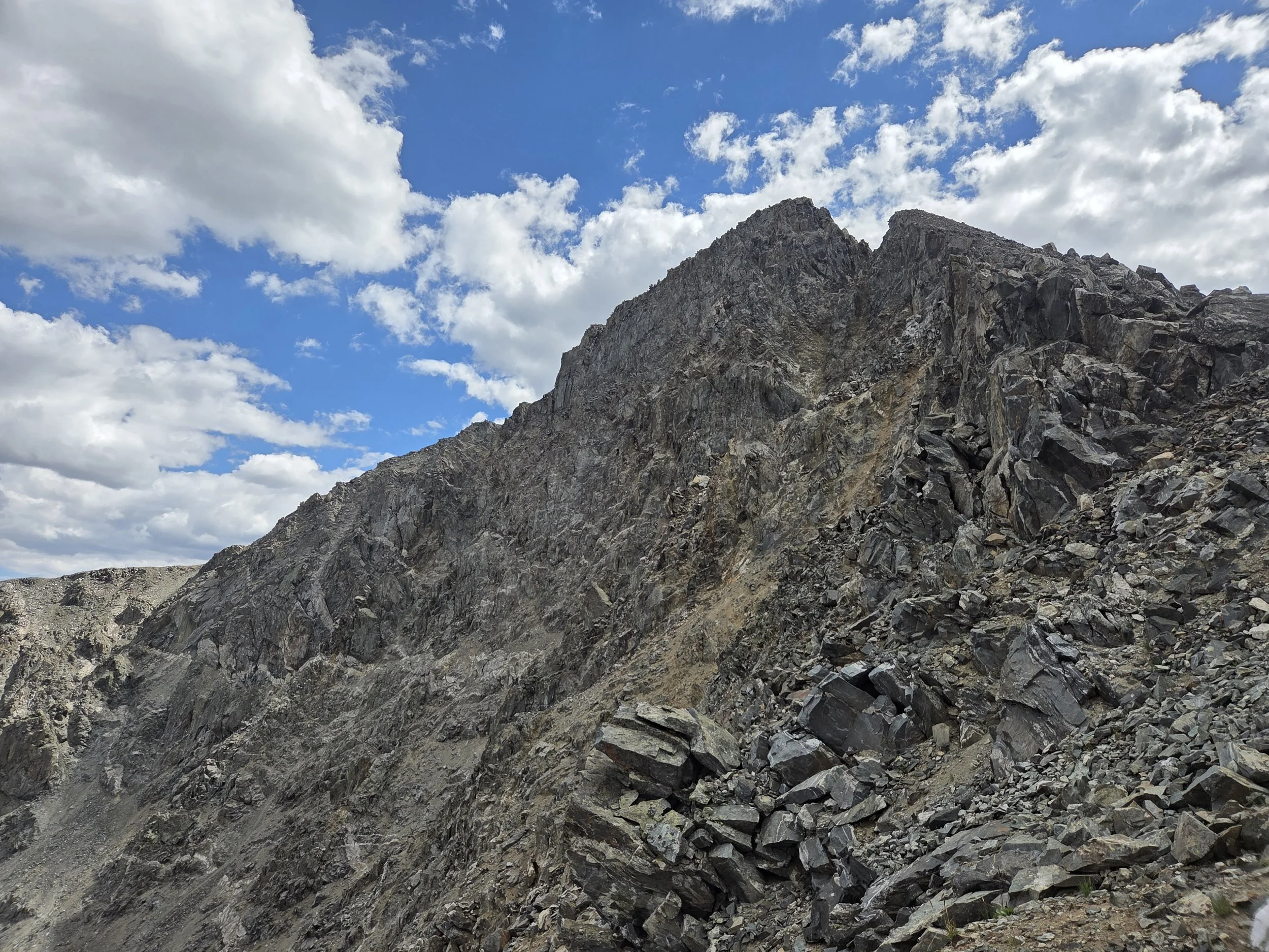
Pacific Peak, Tenmile Range
Segment 21 connects Bailey to Frisco along many, many mountain ridges.
In the future, we hope to establish a cross country route directly out of Bailey, but for now the segment starts with a roadwalk to Deer Valley. From there, it enters the Mount Evans Wilderness. Conditions were unfavorable during scouting, so we wound up taking a lower route from Abyss Lake to the Colorado Trail, but in the future hope to ground truth the Sawtooth Traverse to the CDT along the Front Range.
From Georgia Pass, the GCR goes the one direction the CT and CDT both miss — South. This takes you up the beautiful Mount Guyot, a hidden gem along the Front Range, before a very long but cruisy ridge walk to Hoosier Pass.
The GCR then does an extended version of the Tenmile Traverse, starting at the 14er, Quandary Peak, and adding the beautiful 13ers Atlantic, Pacific, and Crystal before doing the more traditional Peaks 1-10 traverse.
This is a long and demanding segment! Section hikers may find it more approachable to divide it into three chunks:
Mount Evans Wilderness (Deer Valley to Guanella Pass)
Front Range (Guanella Pass to Hoosier Pass)
Tenmile Range (Hoosier Pass to Frisco)
Loading map…
Logistical Considerations
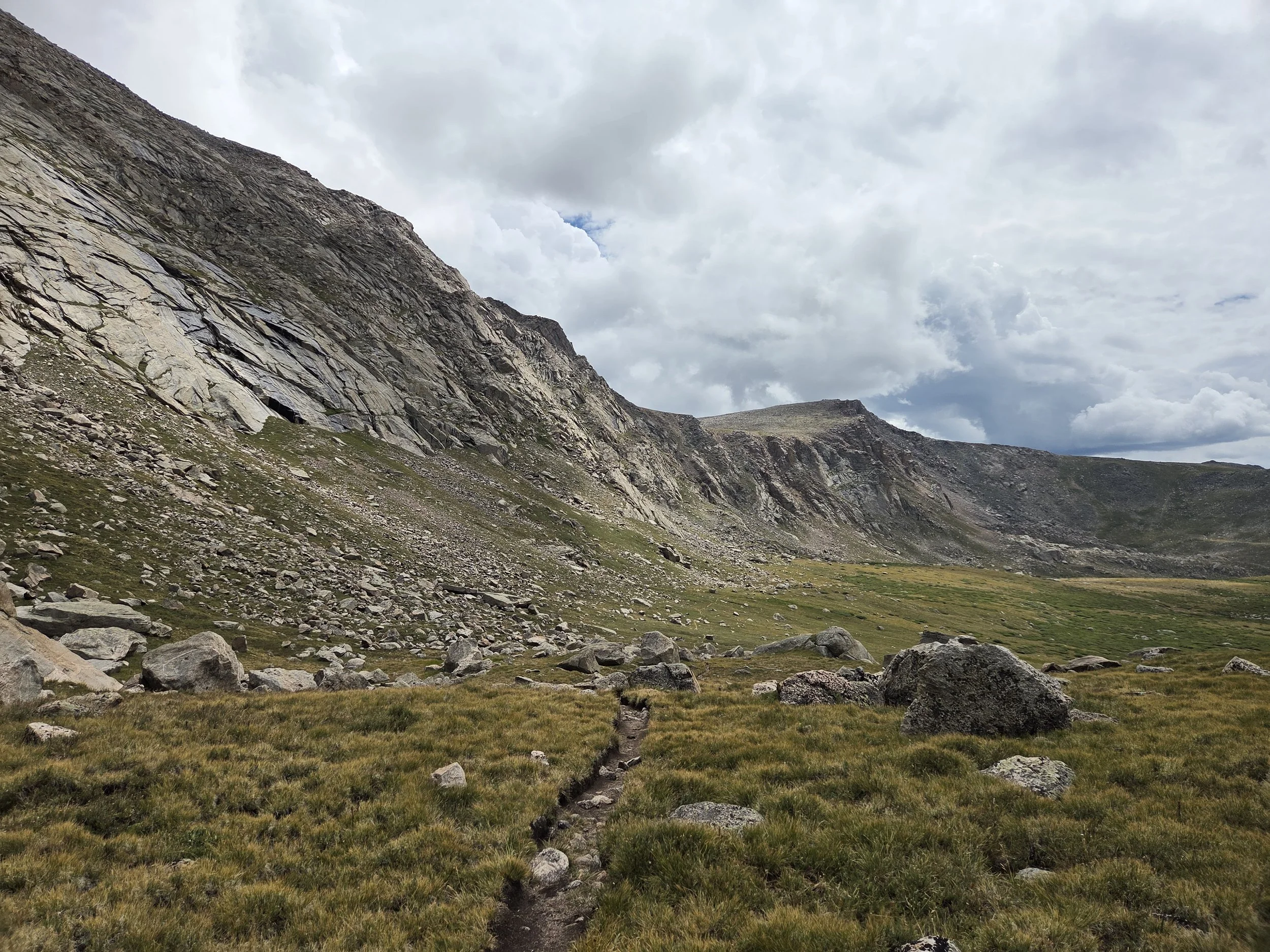
Abyss Lake Trail, Mount Evans Wilderness
Seasonal Closures
We are not aware of any official seasonal closures along this segment, though it would unsafe in snowy conditions.
Some of the access roads close during winter.
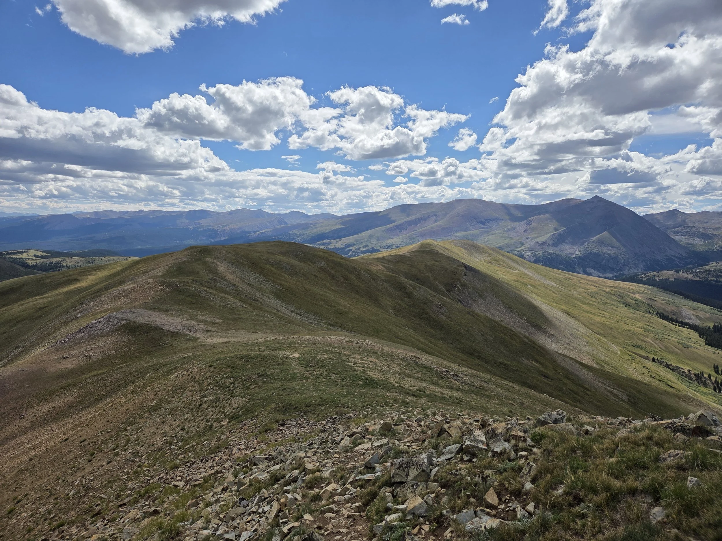
Hoosier Ridge
Permits & Fees
Overnight campers in the Mount Evans Wilderness need to fill out a free, walk-up permit available at the trailheads.
Section hikers / trail crews who plan on driving up the Mount Blue Sky Scenic Byway need a timed-entry permit that can be purchased here.
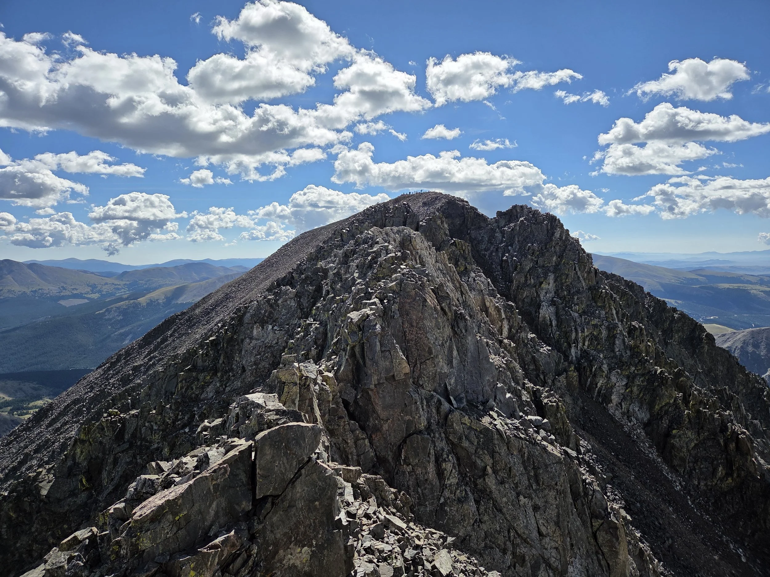
Quandary Peak, West Ridge
Water
There is plenty of water below treeline, but carry plenty for the extended sections above treeline.
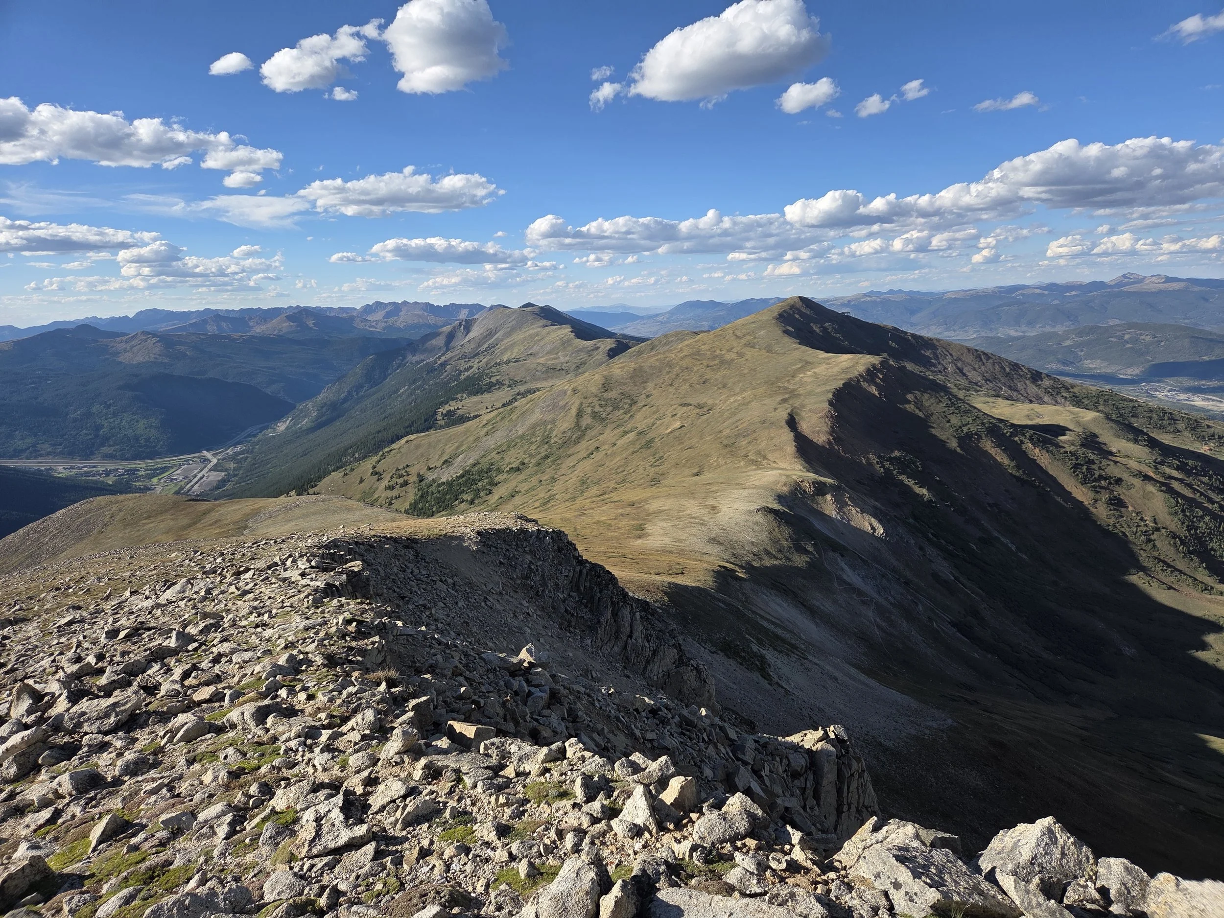
Looking north from Peak 9, Tenmile Traverse
Camping
Camping below treeline is generally easy to find along this segment, though plan ahead for the lengthy stretches above treeline.
In 2026, Donovan camped between Peaks 9 & 8 near the Wheeler Trail, but we recommend dropping below treeline if there is even a slight chance of inclement weather.
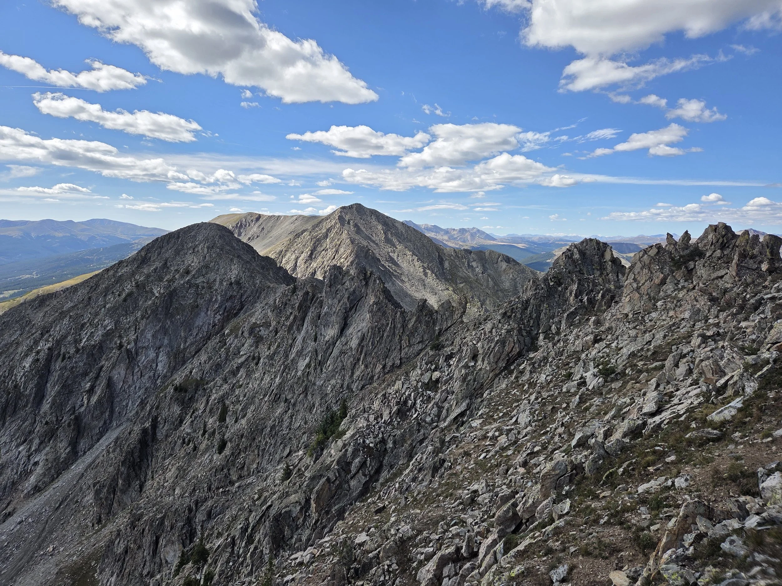
Looking south towards Peaks 3 & 4, Tenmile Traverse
Other Considerations
Extreme Thunderstorm Risk: This segment spends a lot of time above treeline, and thru hikers will likely hit this section during monsoon season when thunderstorms are likely to occur.