Segment 3
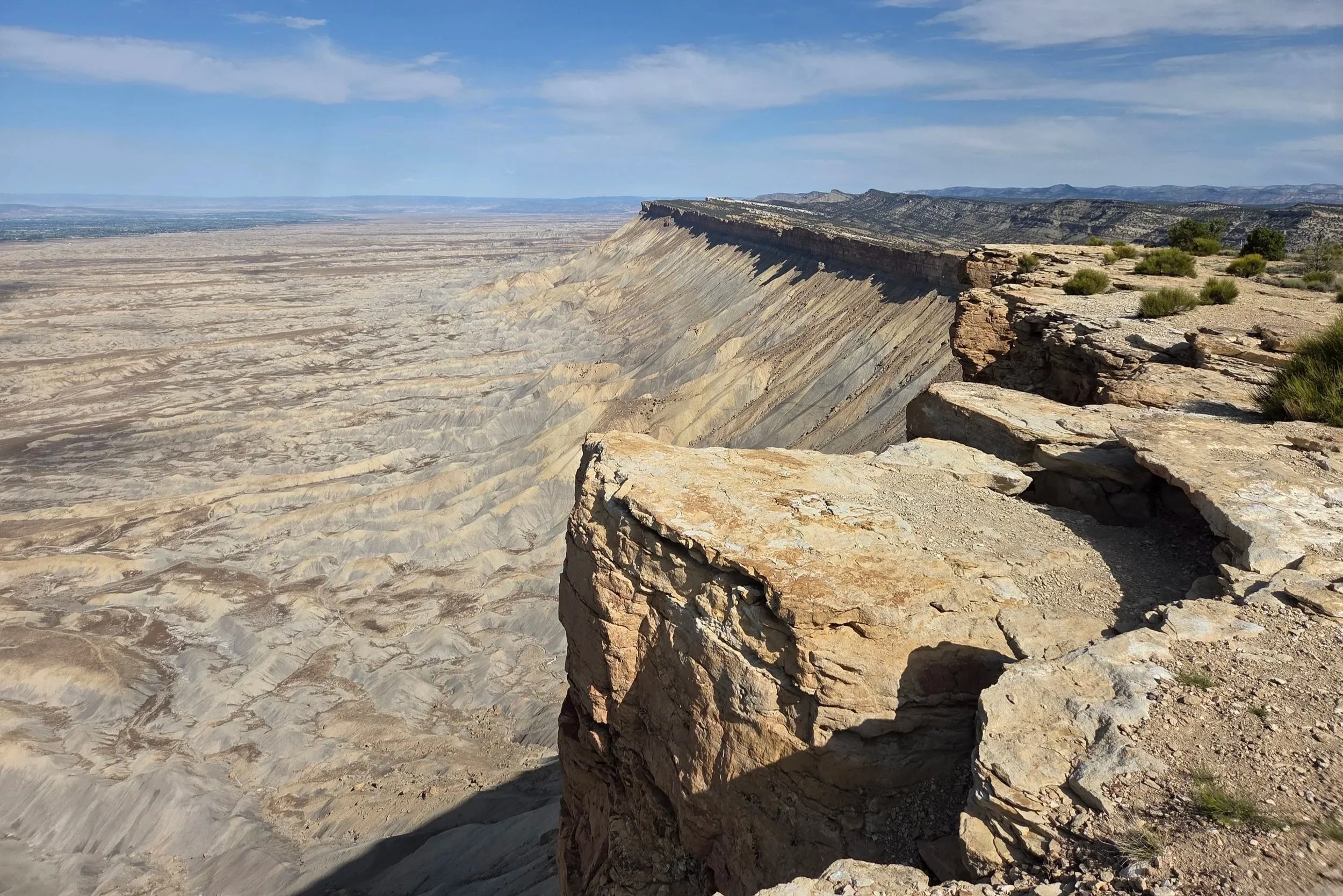
Mount Garfield & the Book Cliffs
52.1 miles
Vertical: +7143', -7371'
Highlights:
Mount Garfield
Wild Mustangs
Main Challenges:
Long water carries
Route finding
Scrambling Grade: One Class 3 move
Exposure: Minimal, other than peering over cliffs
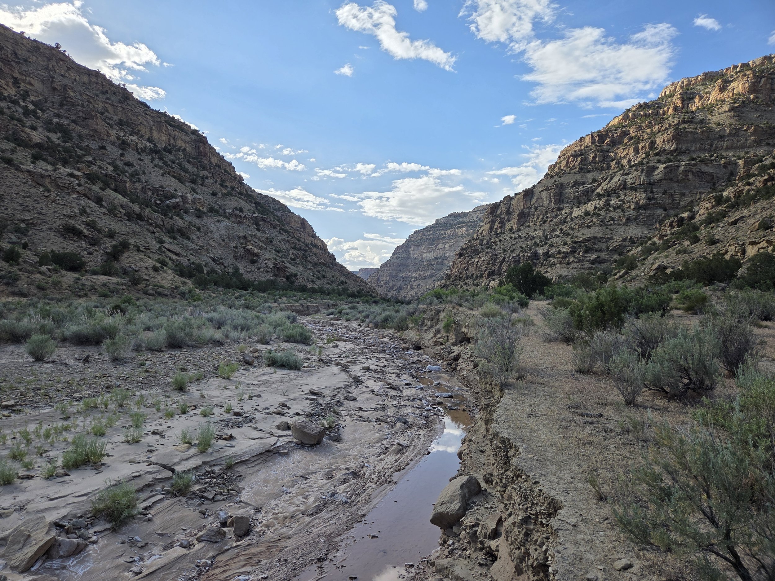
Main Canyon, Little Book Cliffs Wilderness Study Area
After treating yourself to a peach milkshake in Palisade, the GCR gains Mount Garfield to enter the Book Cliffs (Little Book Cliffs Wilderness Study Area).
Although technically a side quest, taking the side spur to the summit of Mount Garfield is highly recommended. It gives great views of the Book Cliffs and Grand Valley.
After Garfield, the trail visits a hole-in-the-wall, the Lemon Squeezer, a short slot canyon that leads to a bench that overlooks town. From there, the GCR works its way towards the Main Canyon of the wilderness study area. Water is extremely scarce, so plan ahead. Local nonprofit, Friends of the Mustangs, maintains several springs through the area for the wild mustangs, which you might be lucky enough to encounter.
Later on, the GCR takes the beautiful Tellerico Trail to drop down to Grand Valley and eventually connects to Fruita via a road walk. Hikers who don’t care about a connected footpath may consider arranging or improvising a ride from Grand Junction. We are also exploring access points to the riverwalk trail to see if worthwhile.
Loading map…
Logistical Considerations
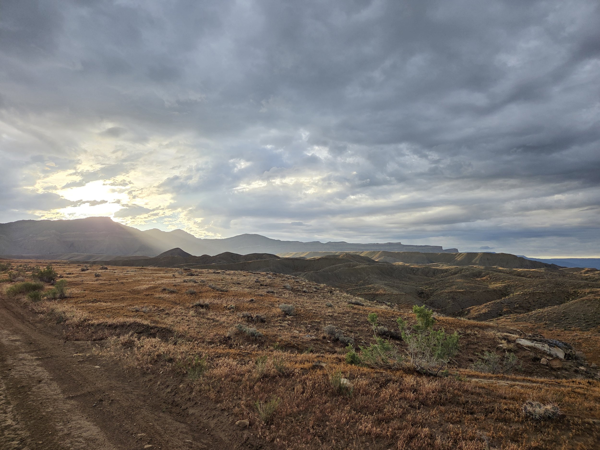
Grand Valley
Seasonal Closures
There are no seasonal closures along this segment, but you don’t want to hike here in the summer.
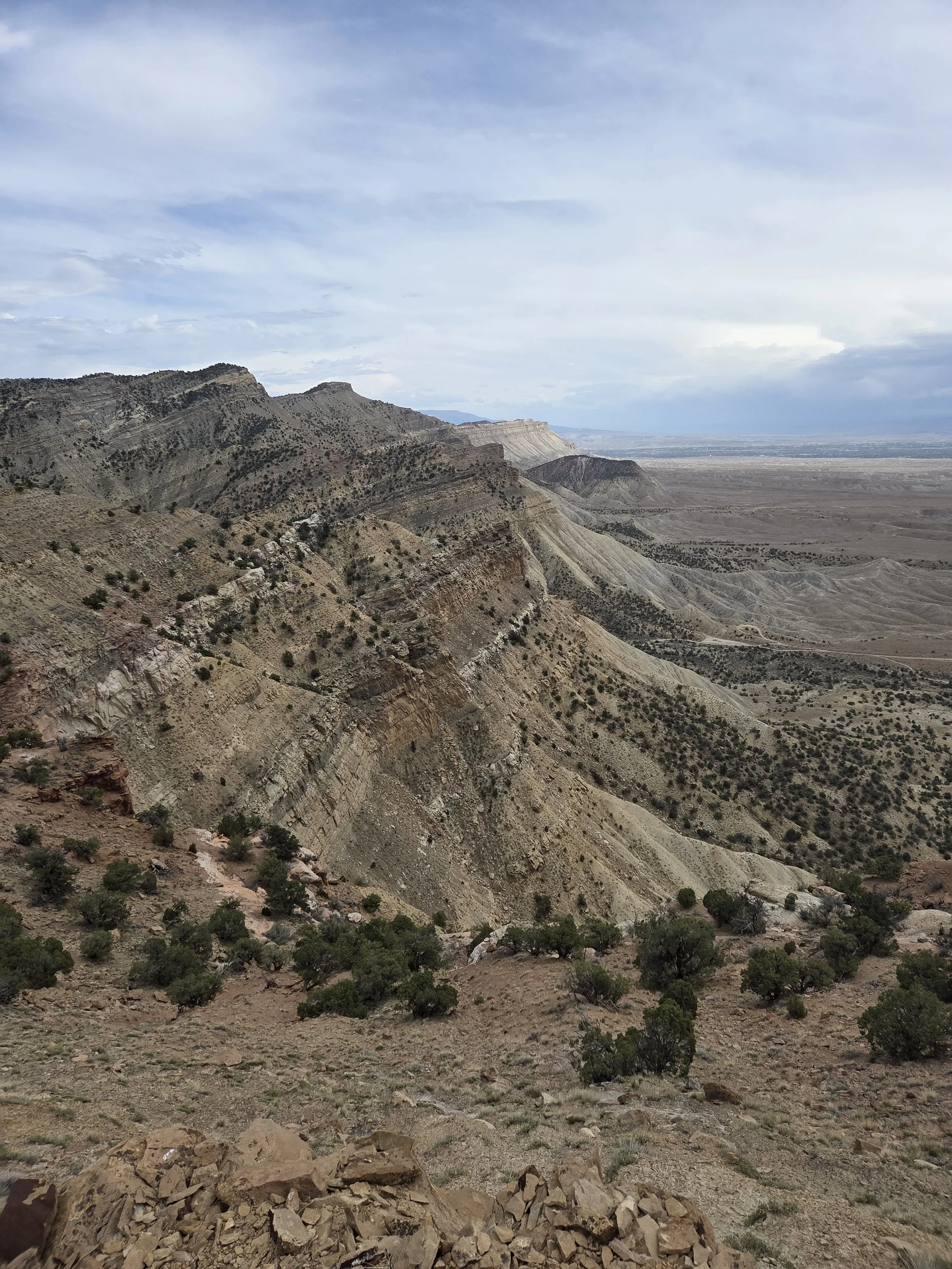
Tellerico Trail
Permits & Fees
There are no permits or fees along this segment.
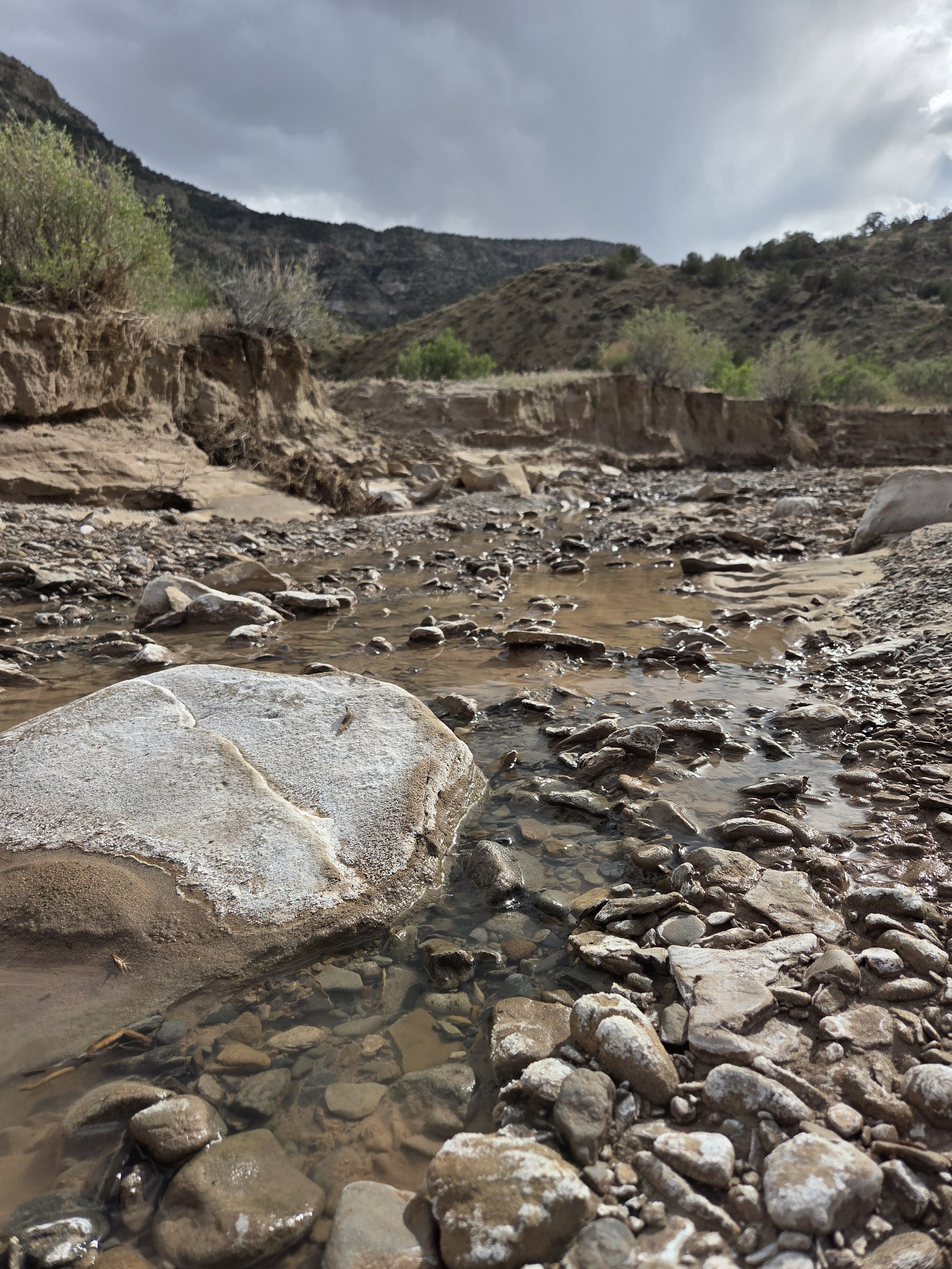
A faintly flowing Jerry Creek
Water
Water is sparse along this segment, so plan ahead:
Friends of the Mustangs, a local nonprofit, maintains several springs and horse troughs that you can use, noted on the map.
Jerry Creek is seasonal and was faintly flowing for Iceman in late May 2026.
Grand Valley has no water.
The road walk to Fruita crosses several canals that likely contain agricultural runoff. Don’t drink without a purifier.
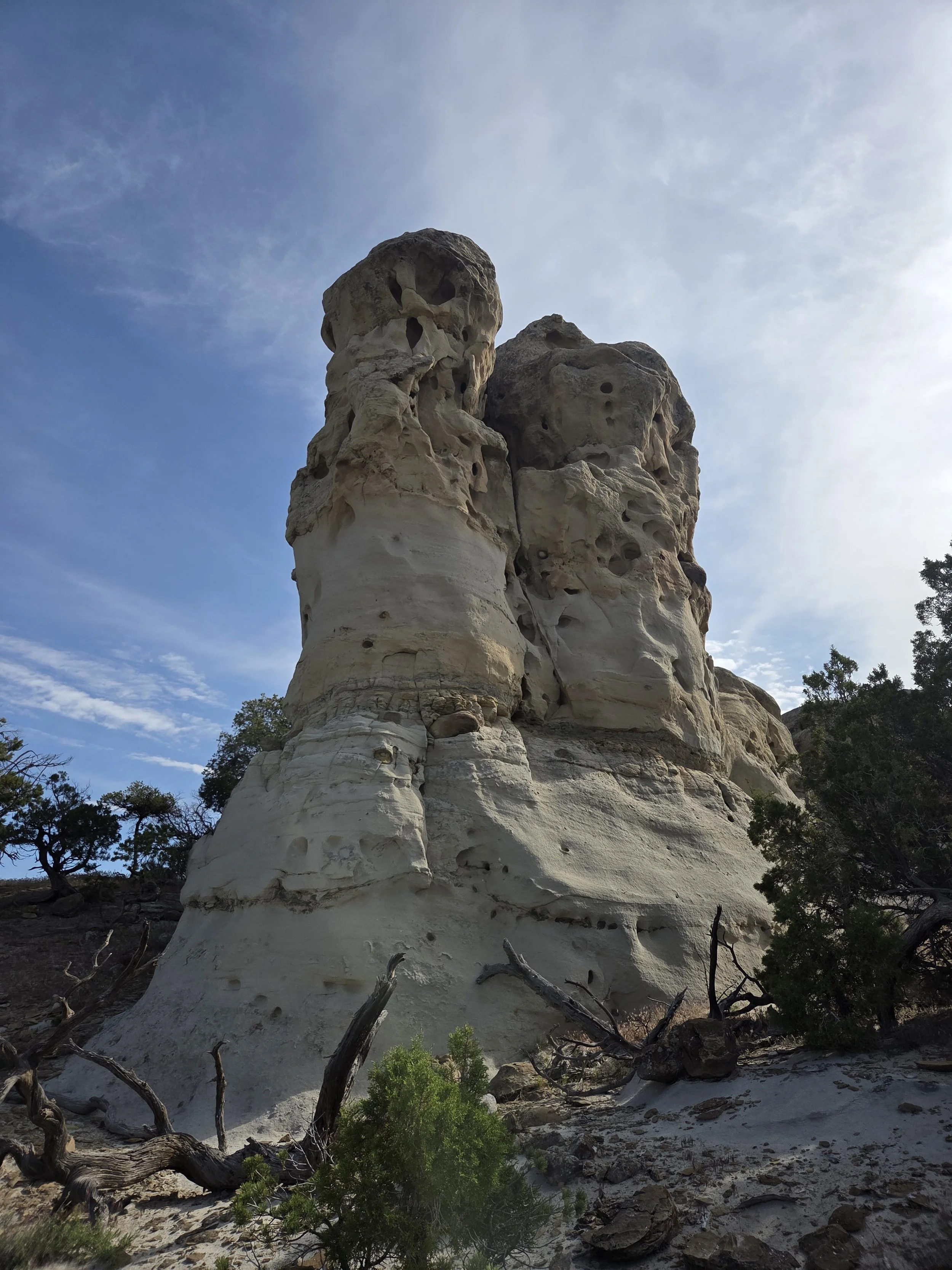
Monument Rocks
Camping
The main consideration for camping in this segment is that Grand Valley is car accessible and frequently used for boondocking.
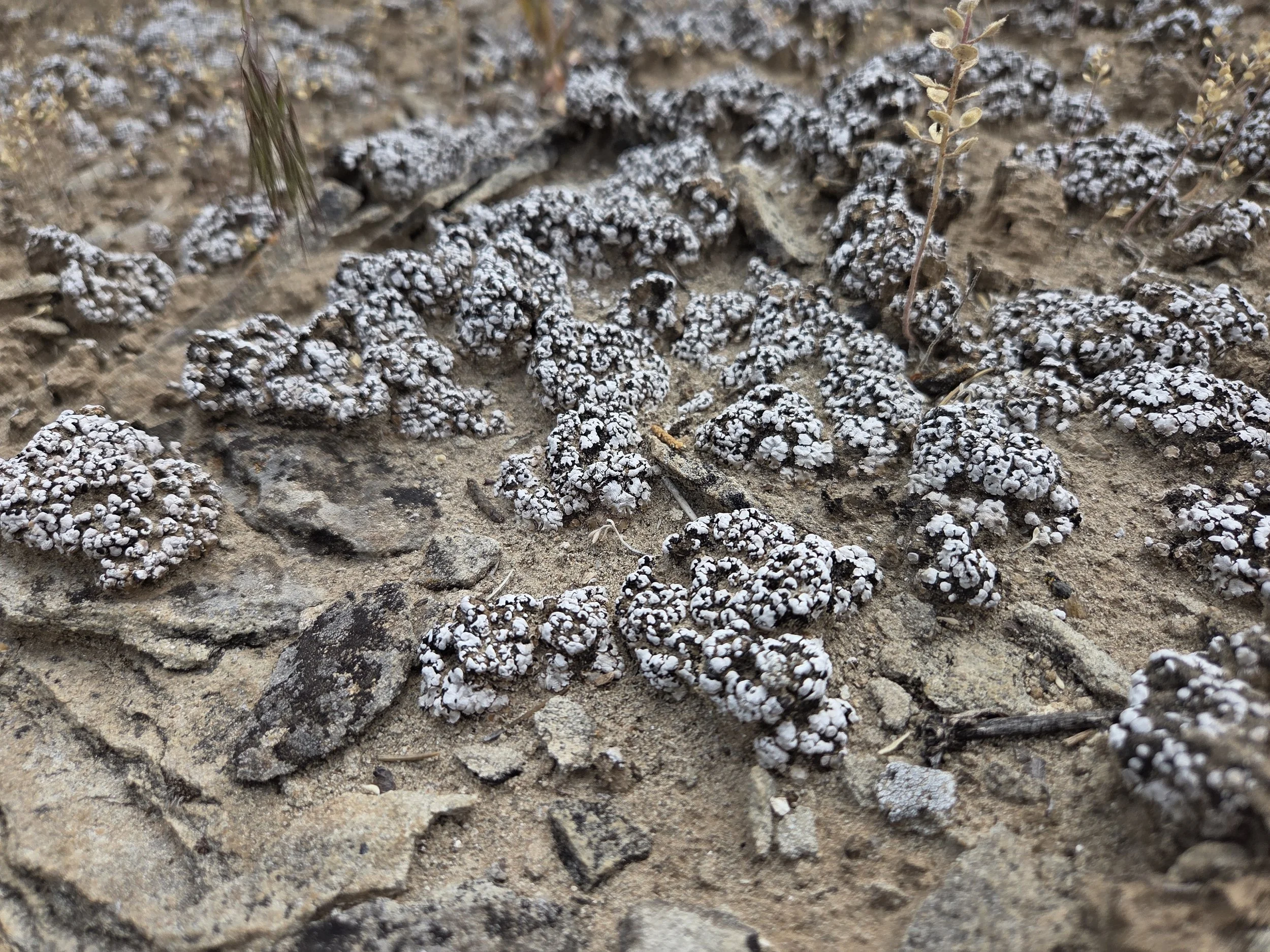
Don’t Bust the Crust
Other Considerations
Please hike and camp on durable surfaces. The Book Cliffs are home to cryptobiotic soils that take years to grow and should not be trampled. “Don’t Bust the Crust”
The trail after Monument Rocks can be difficult to follow, and for now involves a Class 3 scramble. We hope to revisit this area to locate the actual trail.