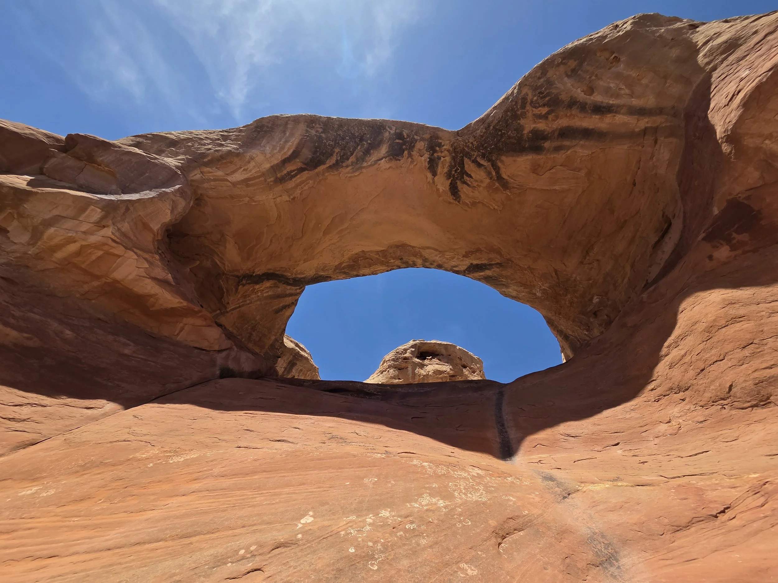
Segment 4
Rattlesnake Arches & Colorado National Monument
Distance: 63 miles
Vertical: +8944', -7888'
Highlights:
Rattlesnake Arches
Independence Monument
Ute Canyon
Main Challenges:
Extremely long water carries
Desert heat
Scrambling Grade: One Class 3 move, mostly trails.
Exposure: Minimal
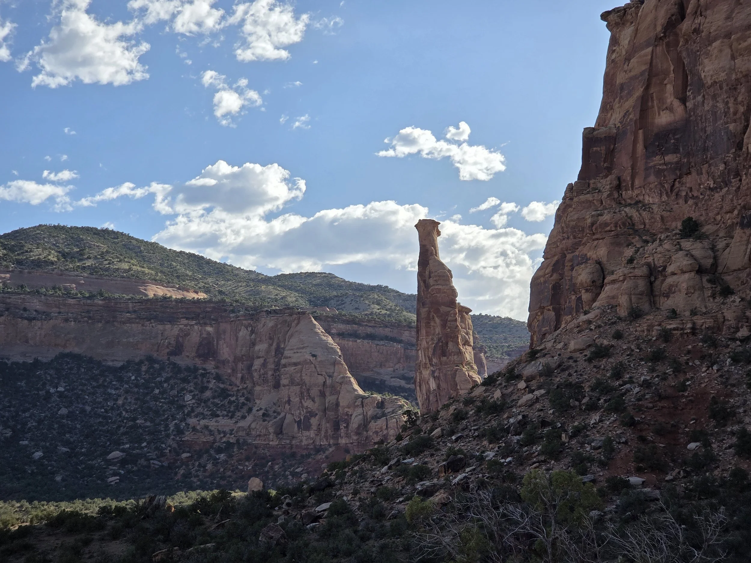
Independence Monument, Colorado National Monument
Ask yourself if you’re still in Colorado or accidentally crossed into Utah while exploring the Rattlesnake Arches and Colorado’s eponymous National Monument.
From Fruita, the GCR enters McCinnis Canyons National Conservation Area and Black Ridge Canyons Wilderness as it serpentines its way towards the Rattlesnake Arches.
The Rattlesnake Arches are the second largest collection of naturally occurring arches in the world, and the GCR takes you directly through them as part of the route!
The GCR then connects to Colorado National Monument along a road before exploring its two primary canyons: Monument and Ute Canyons. It then works its way past Devils Kitchen Picnic Area before leaving the park for the Lunch Loops trail system including a cool cave. The segment concludes at a trailhead that is a short hitch (or Uber) to Grand Junction for resupply.
Loading map…
Logistical Considerations
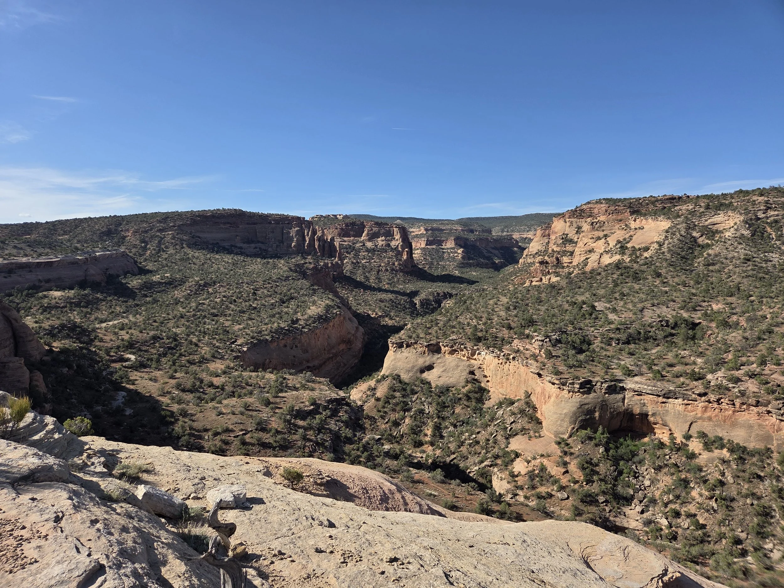
McCinnis Canyons National Conservation Area
Seasonal Closures
The access road to/from Upper Rattlesnake Arches Trailhead alternates seasonally: Upper road in summer, Lower road in winter.
Both roads are always open to pedestrians.
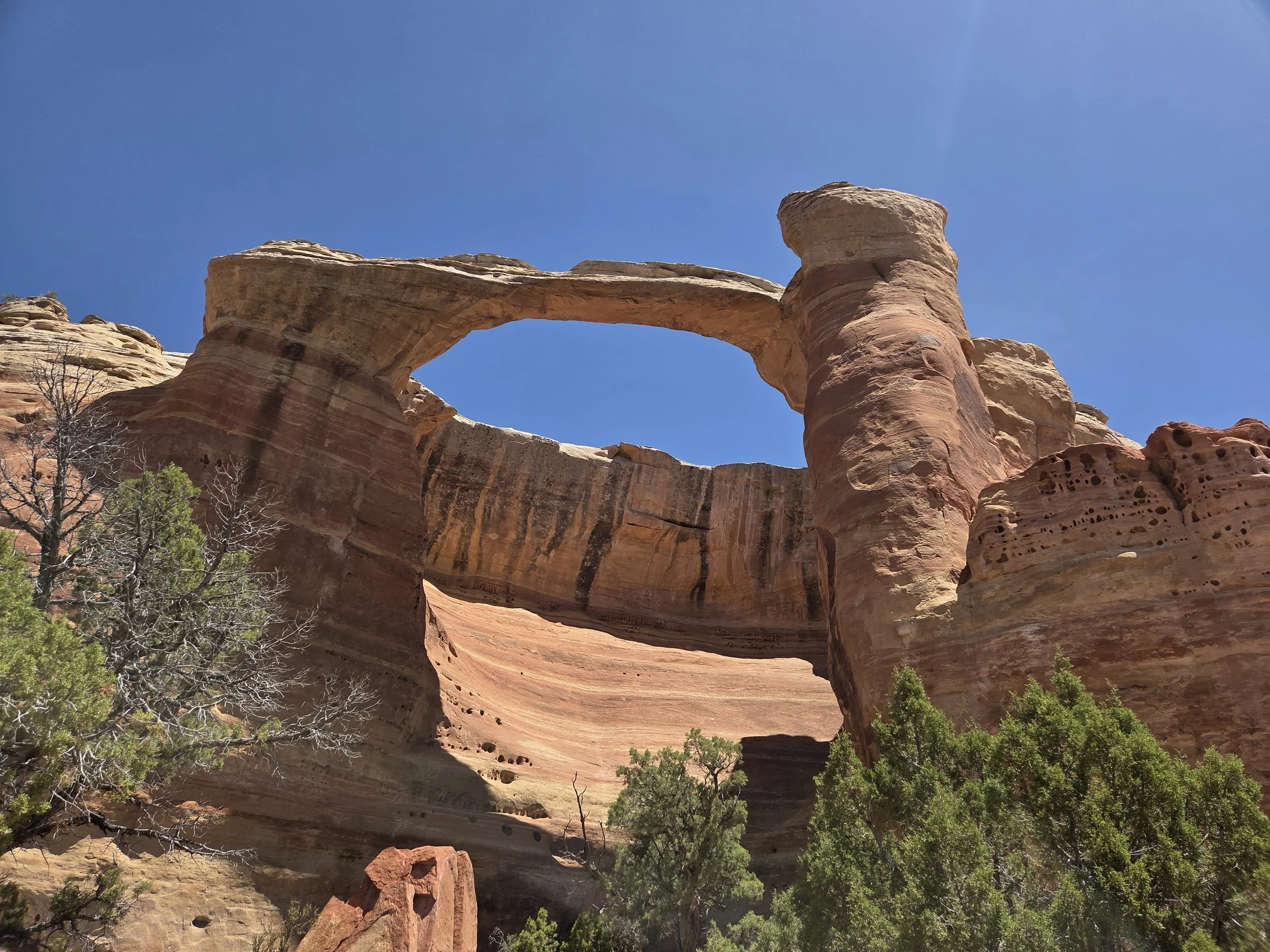
Rattlesnake Arches
Permits & Fees
Permits:
Free, walk-up backcountry camping permit at visitor center for camping inside the National Monument.
They will want to know where you’re camping, whether Monument Canyon, Bench Trail, or Ute Canyon.
Fees:
Entrance Pass to Colorado National Monument
Either $15 pass (purchase online or at visitor center) or America the Beautiful Pass.
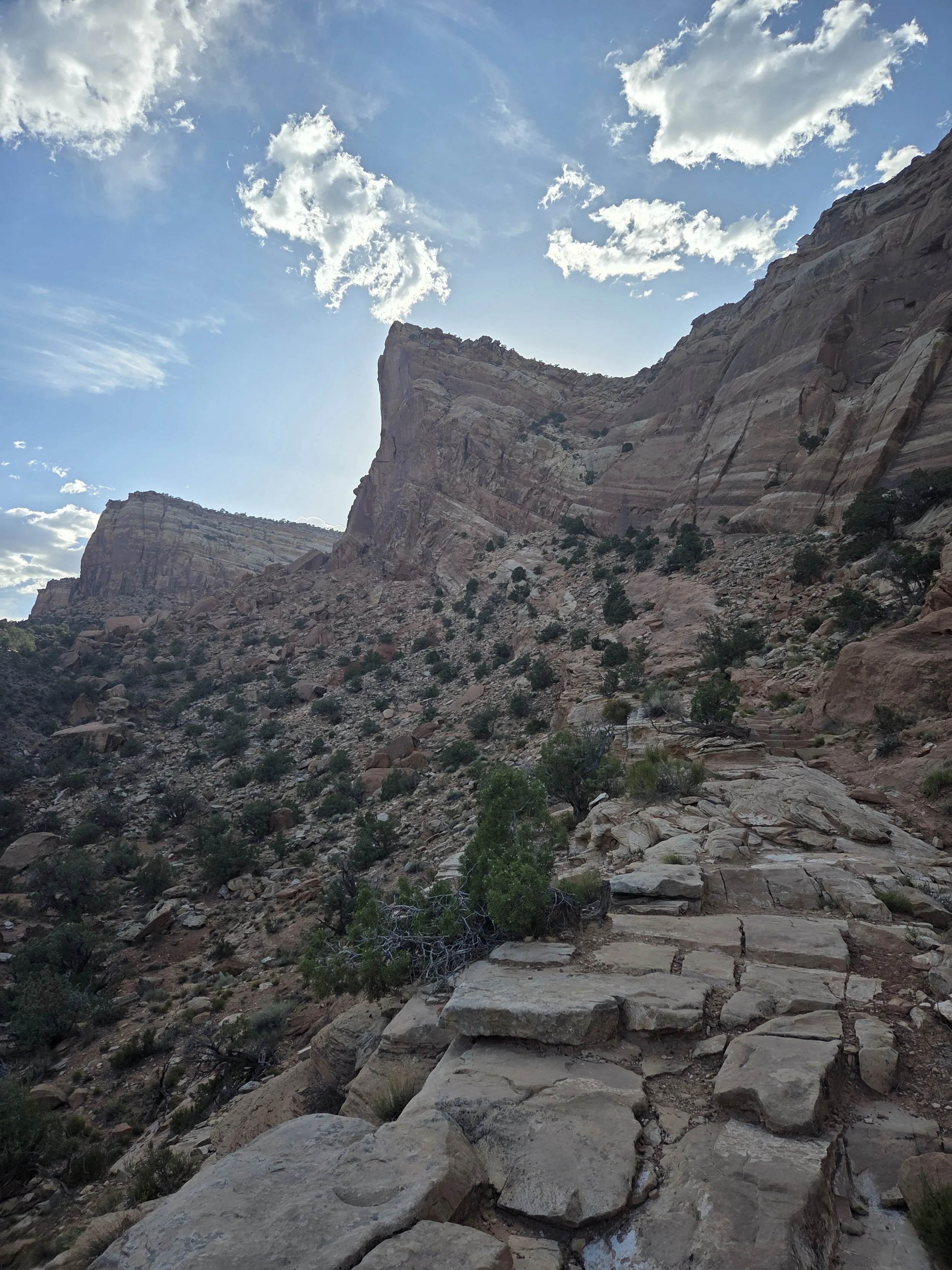
Monument Canyon, Colorado National Monument
Water
These are the longest water carries of the entire GCR!!!
There are only two reliable water sources along this entire segment, and both are manmade water fountains:
Colorado National Monument Visitor Center. ~33 miles from Fruita.
Devil’s Kitchen Picnic Area. ~28 miles from the visitor center.
If not going into Grand Junction at the end of this segment, your next reliable water source isn’t until the town of Whitewater in Segment 5.
Due to how little water the area gets, collecting water from streams inside the monument is prohibited.
Cow troughs and ponds are unreliable and foul.
You might get lucky with cars offering you water, but do not rely on this.
You can DoorDash water to the Lower Monument Trailhead if needed.
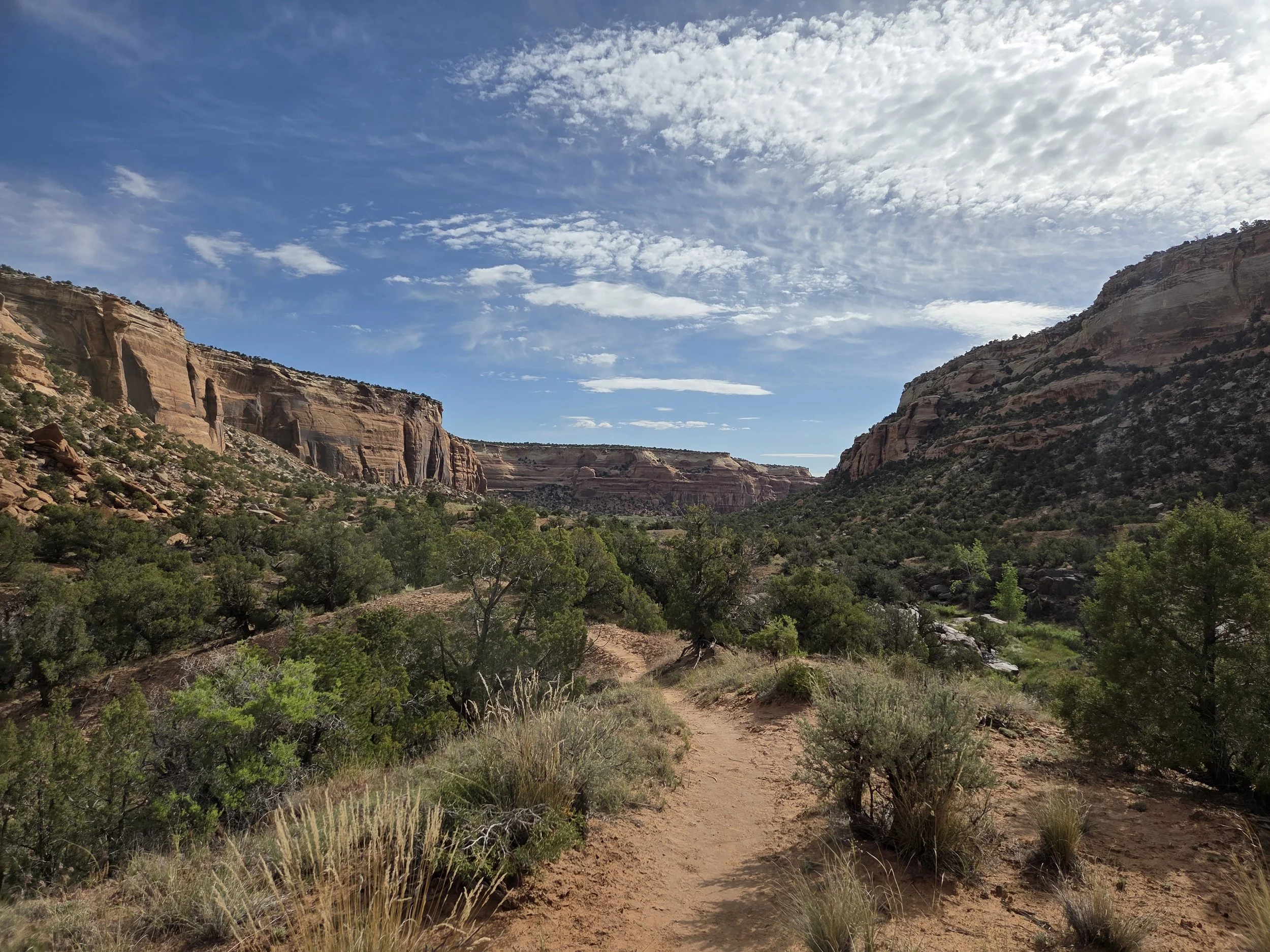
Ute Canyon, Colorado National Monument
Camping
Camping is not allowed within a quarter mile of the Rattlesnake Arches or the road that accesses them.
Camping between Rattlesnake Arches and Colorado National Monument is limited to designated areas only, noted on map.
Camping inside Colorado National Monument requires a free backcountry camping permit (see above).
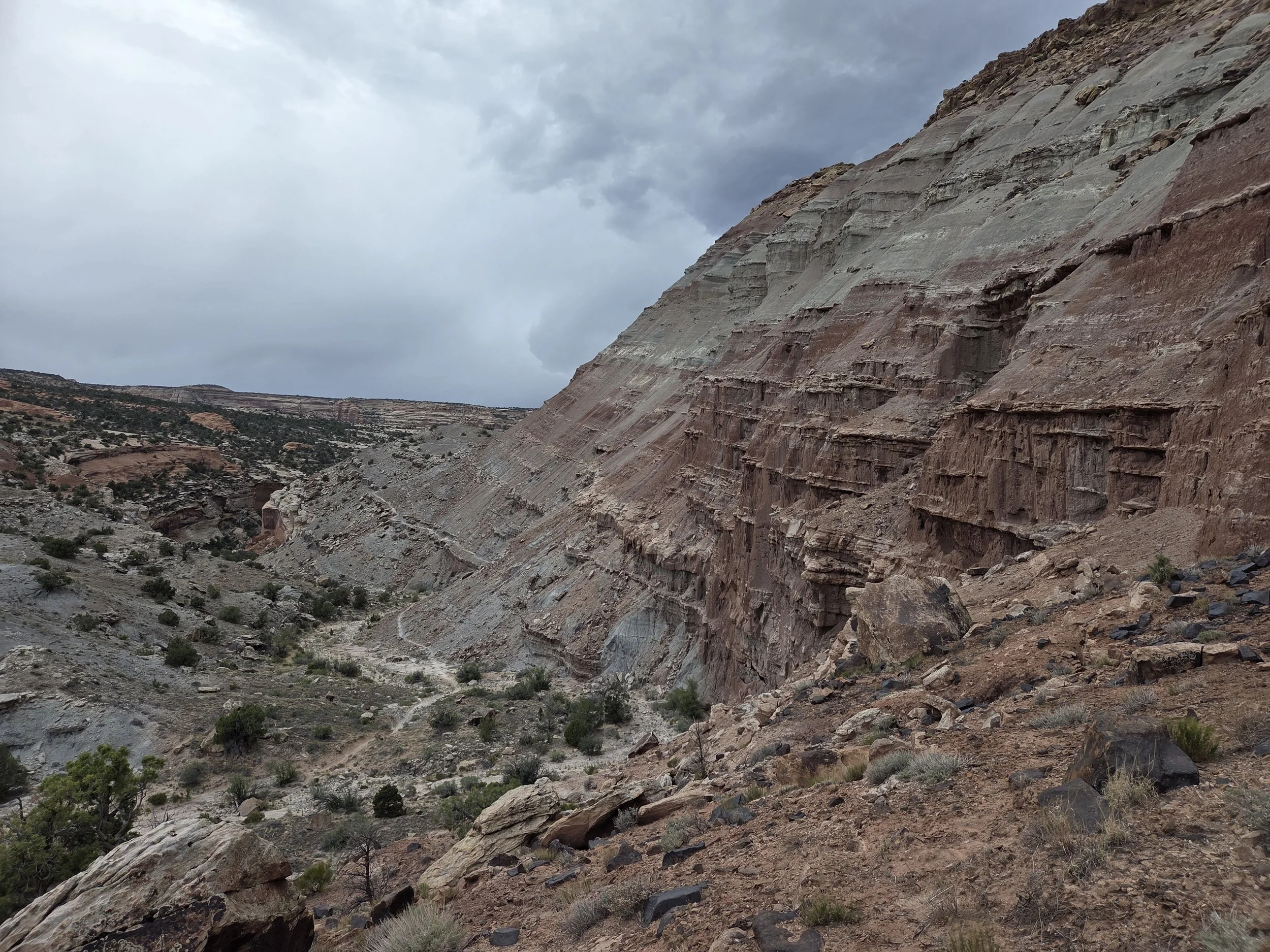
Lunch Loops
Other Considerations
Don’t Bust the Crust: Please hike and camp on durable surfaces. This area is home to cryptobiotic soils that take years to grow and should not be trampled.
If you insist on not getting a ride to town for resupply, you’re next walkable town stop is Whitewater in Segment 5, though there is only a post office, gas station (further out), and no good place to recharge electronics.