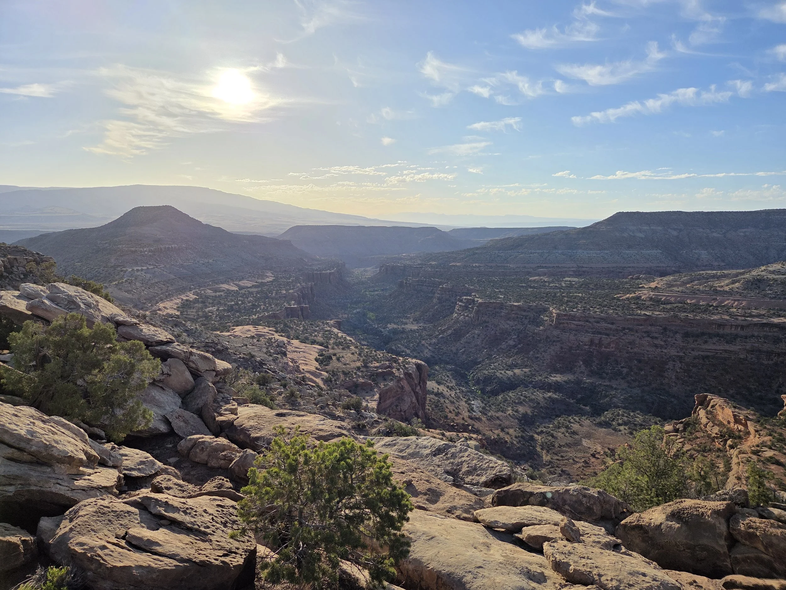
Segment 5
Rough Canyon & Dominguez Canyon
Distance: 62.9 miles
Vertical: +9156', -9861'
Highlights:
Rough Canyon
Cactus Park
Dominguez Canyon
Main Challenges:
Long water carries
Desert heat
Route-finding to Escalante Canyon
Scrambling Grade: Ample Class 2. Up to Class 4.
Exposure: Moderate
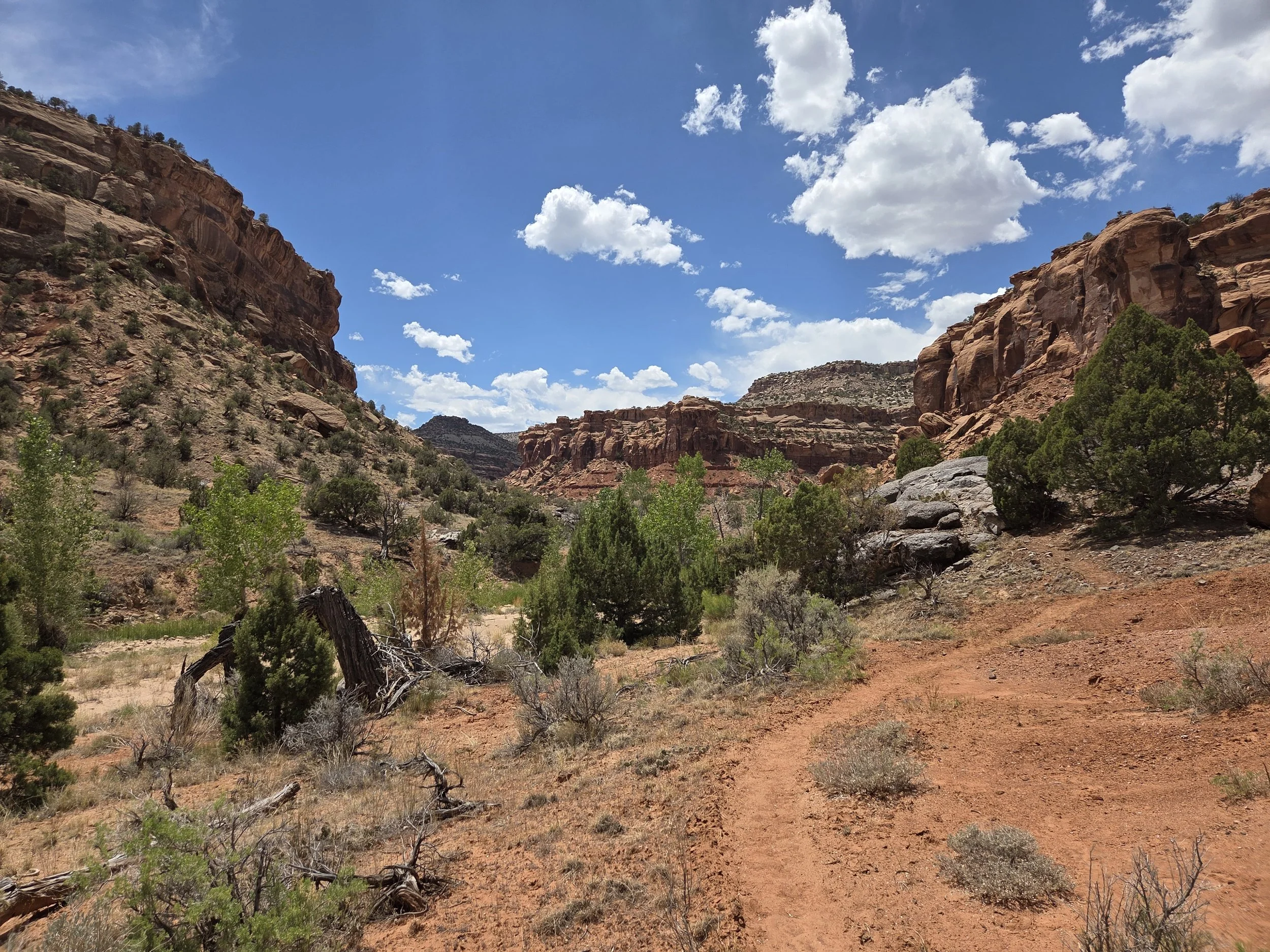
Little Dominguez Canyon
Epic canyons continue through this segment as the GCR treks through Rough Canyon, providing access to the locally-revered Lemon Squeezer canyoneering route, before taking the Tabaguache Trail up Unaweep Canyon.
From there, the GCR explores Cactus Park before dropping into the stunning Dominguez Canyon Wilderness. Explore historic mining ruins and petroglyphs before checking out Big Dominguez Falls and the Rambo Ruins.
The GCR then takes a challenging cross-country exit through Lightning Basin to connect to Escalante Canyon, providing access to US Highway 50 and the town of Delta to the east.
Loading map…
Logistical Considerations
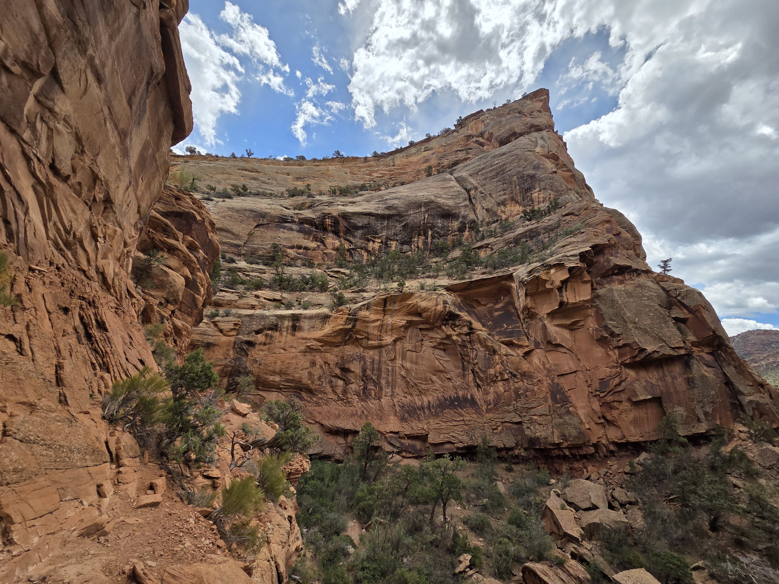
Rough Canyon
Seasonal Closures
We are not aware of any seasonal closures, but you don’t want to hike here during the summer.
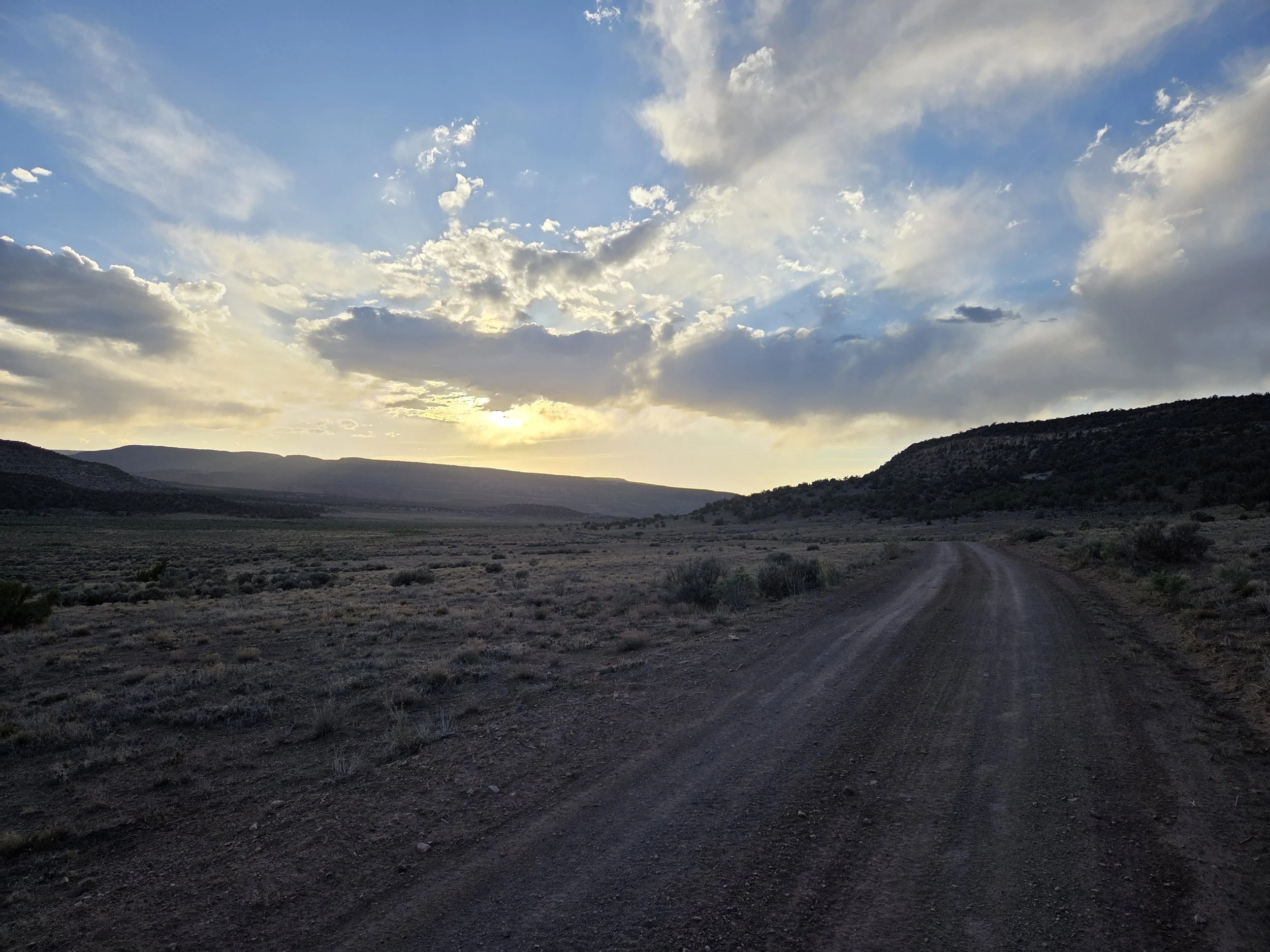
Cactus Park
Permits & Fees
There are no permits or fees for this segment.
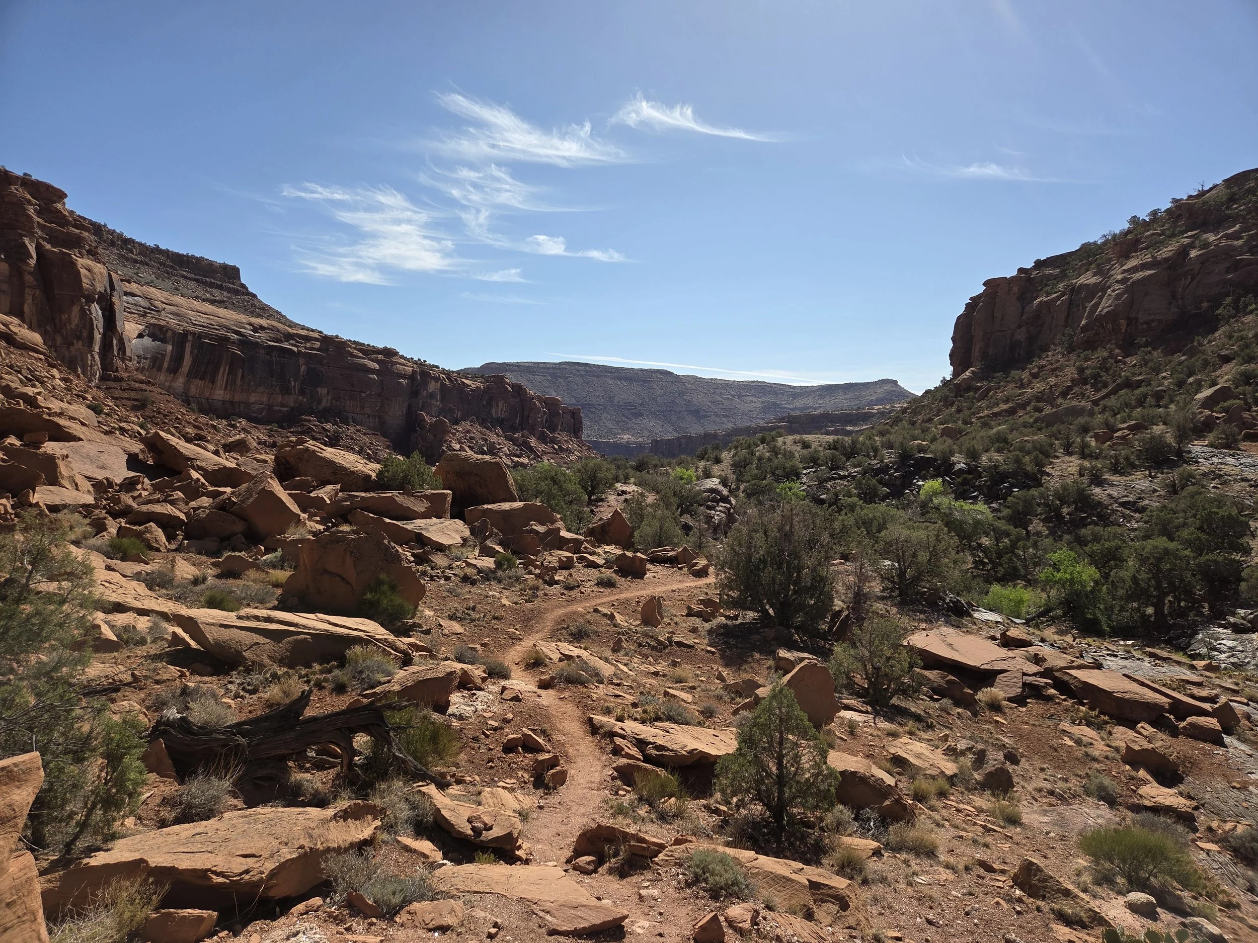
Big Dominguez Canyon
Water
There are very few water sources along this segment:
The Gunnison River near Whitewater
Also a spigot at the post office in town, and a gas station further up US-50
Big Dominguez Creek (can run dry)
If runs dry, can access Gunnison River at mouth of canyon.
Little Dominguez Creek (can run dry)
Escalante Creek
Plan ahead, and carry more water than you think you’ll need. The scramble from Little Dominguez Canyon to Escalante Canyon is very challenging and takes longer than you expect.
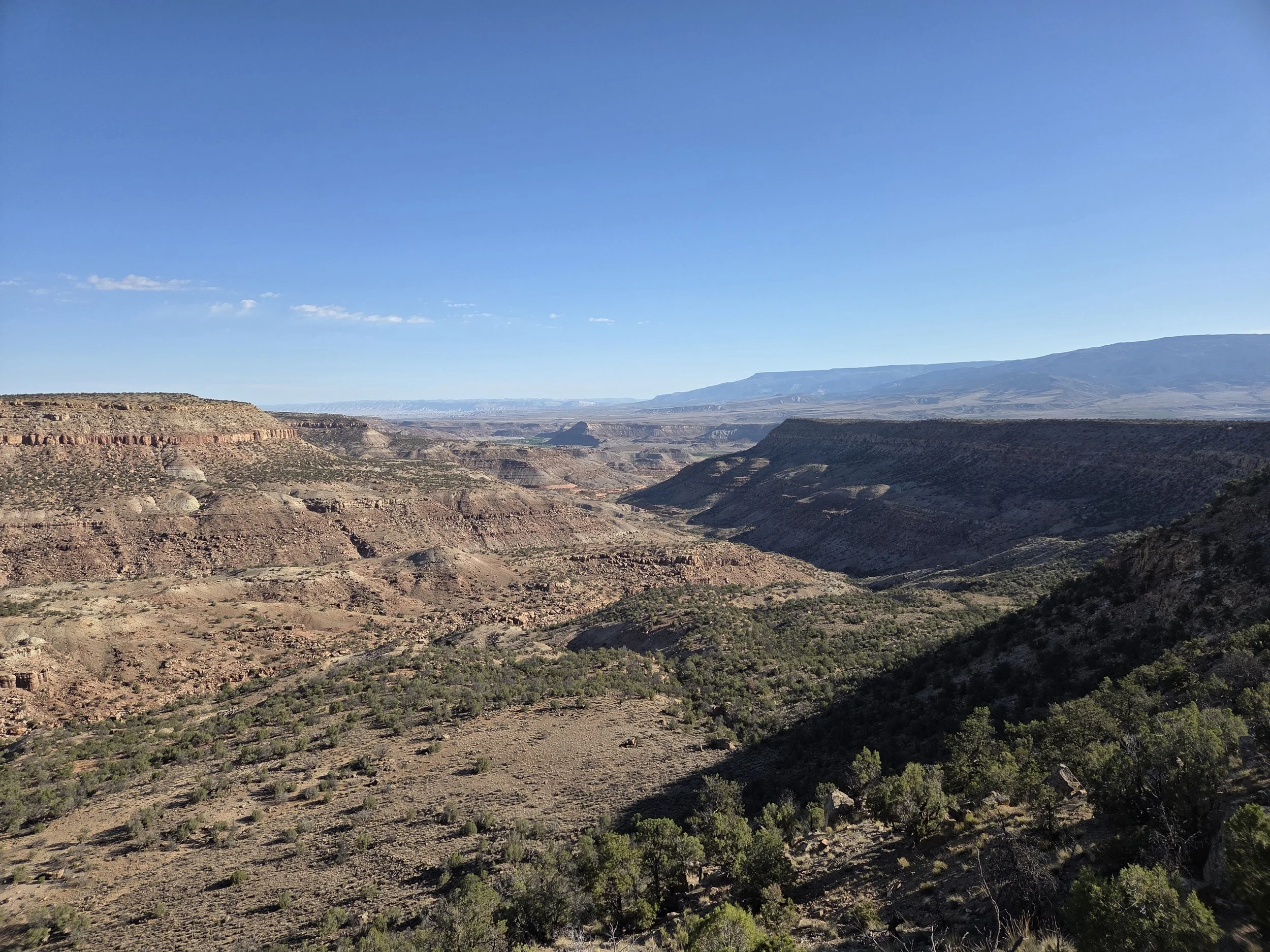
Dominguez Canyon Wilderness
Camping
Camping is not allowed in the Day Use Area of Dominguez Canyon Wilderness, which is near the Gunnison River.
Zone 1 of this map.
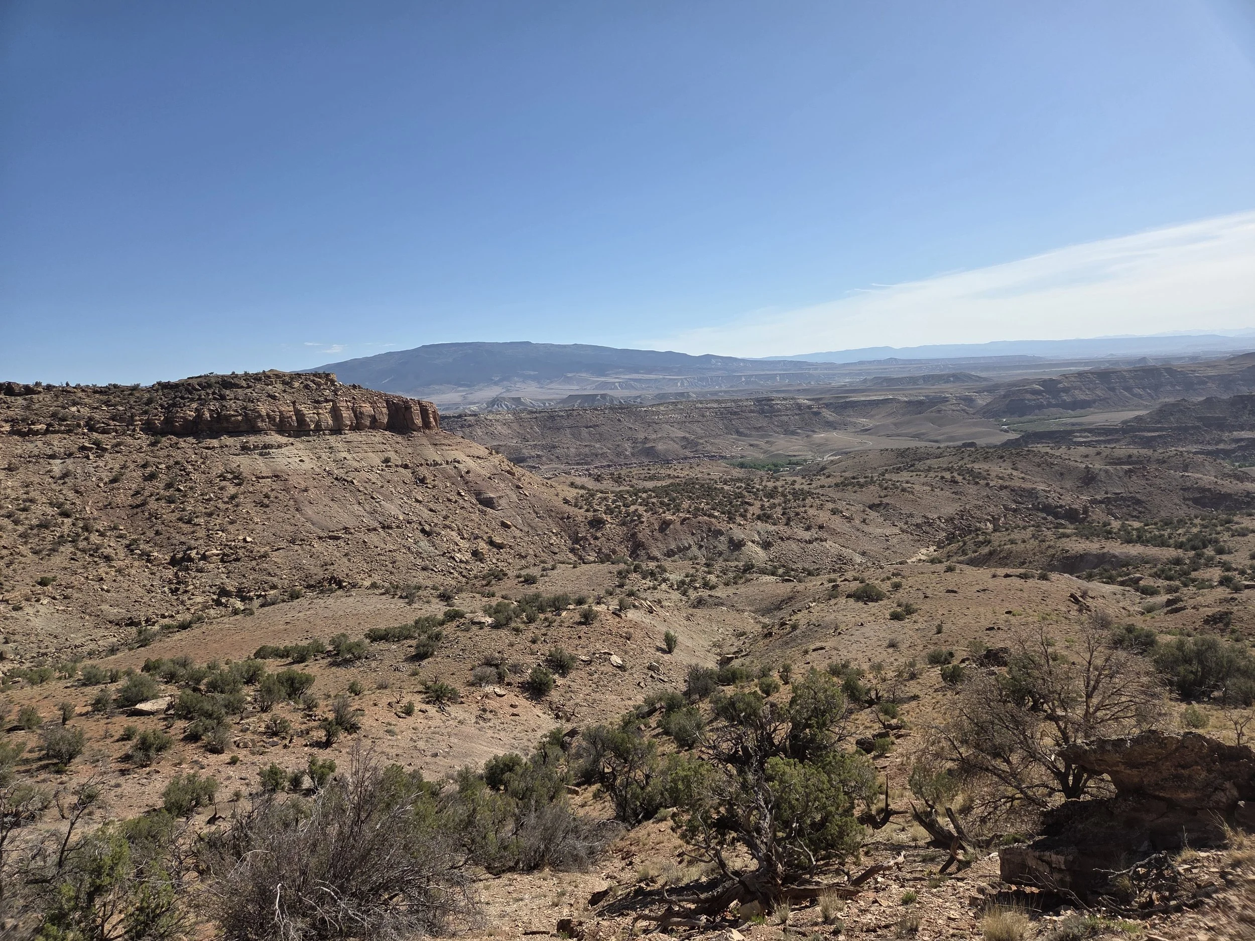
Escalante Canyon
Other Considerations
Don’t Bust the Crust: Please hike and camp on durable surfaces. This area is home to cryptobiotic soils that take years to grow and should not be trampled.
Pack out human waste in Big Dominguez Canyon and Little Dominguez Canyon.
In Zones 1 & 2 of this map.
Really hard route finding: The cross-country terrain between Little Dominguez Canyon and Escalante Canyon is very difficulty and take longer than you think.