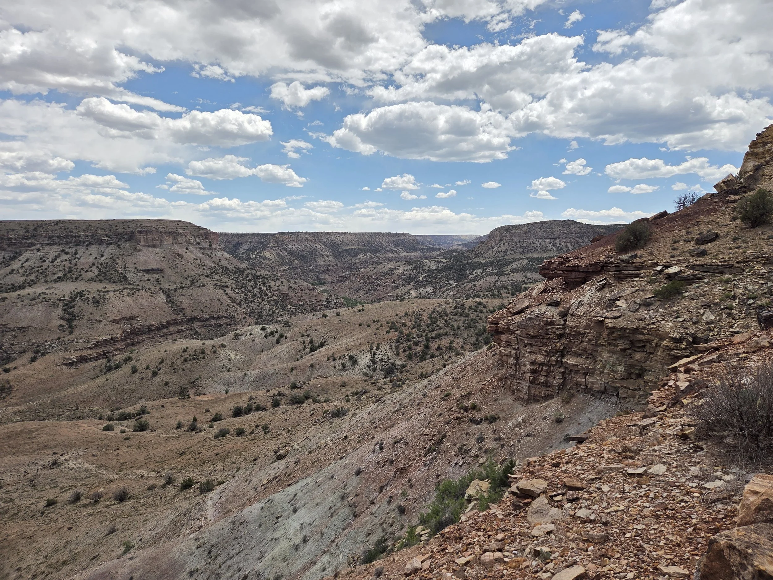
Segment 6
Roubideau Canyon & Uncompahgre Plateau
Distance: 99.7 miles
Vertical: +12077', -9849'
Highlights:
Roubideau Canyon
Aspen groves
San Juan Ranch
Main Challenges:
Route finding in Roubideau Canyon
Long road walk into Ridgway
Scrambling Grade: Class 2, mostly trails.
Exposure: Minimal
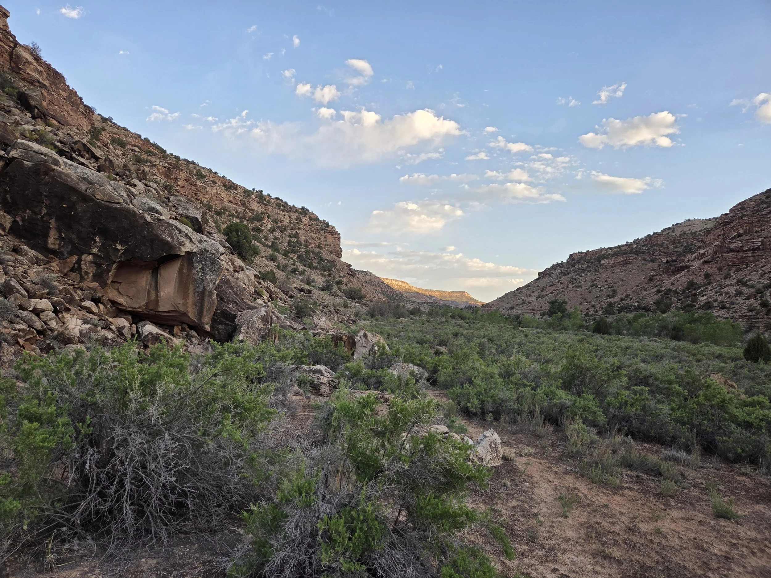
Roubideau Canyon, Camel Back Wilderness Study Area
The final segment of the Western Canyons, Segment 6 connects Cottonwood Canyon to the beautiful and difficult Roubideau Canyon in the Camel Back Wilderness Study Area. Route-finding along the seldom-used trail presents several challenges, first and foremost the high frequency of Roubideau Creek crossings.
After saying hi to the Ben Lowe Cabin ruins, the GCR enters Uncompahgre National Forest to start working its way over the Uncompahgre Plateau towards the San Juan Mountains. Pass by more frequent water sources and beautiful aspen groves including some racy arborglyphs if you keep your eyes peeled.
This section concludes with a beautiful walk down Dave Woods Road to State Highway 62, taking you over the Dallas Divide all the way to the lovely town of Ridgway. Lodging options in the town are currently pricey, so some nearby camping options are suggested in the map.
Loading map…
Logistical Considerations
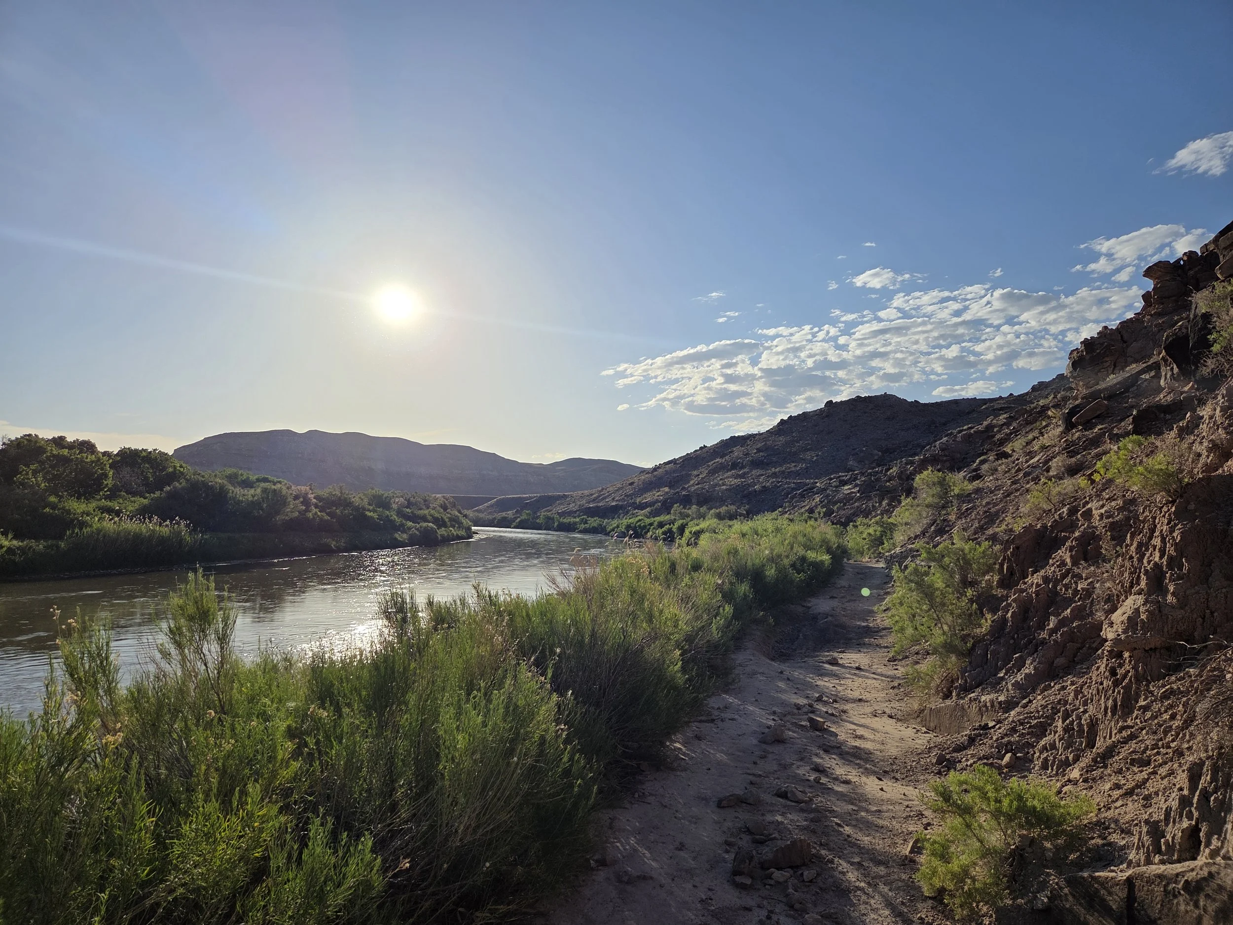
Gunnison River near Escalante Canyon
Seasonal Closures
We are not aware of any seasonal closures, but you don’t want to hike here during the summer.
Snow may be present in Uncompahgre Plateau in early season.
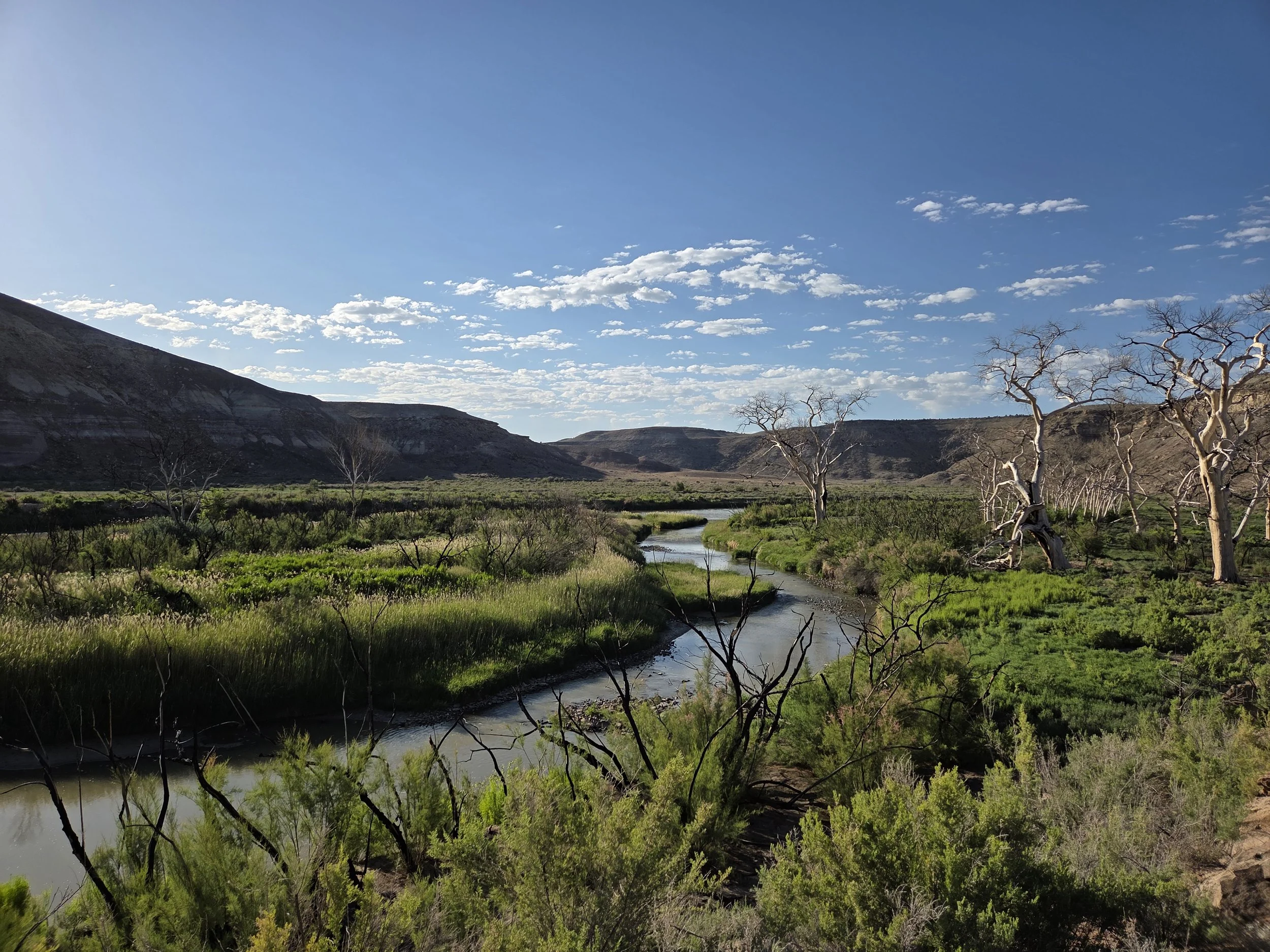
Gunnison River near Escalante Canyon
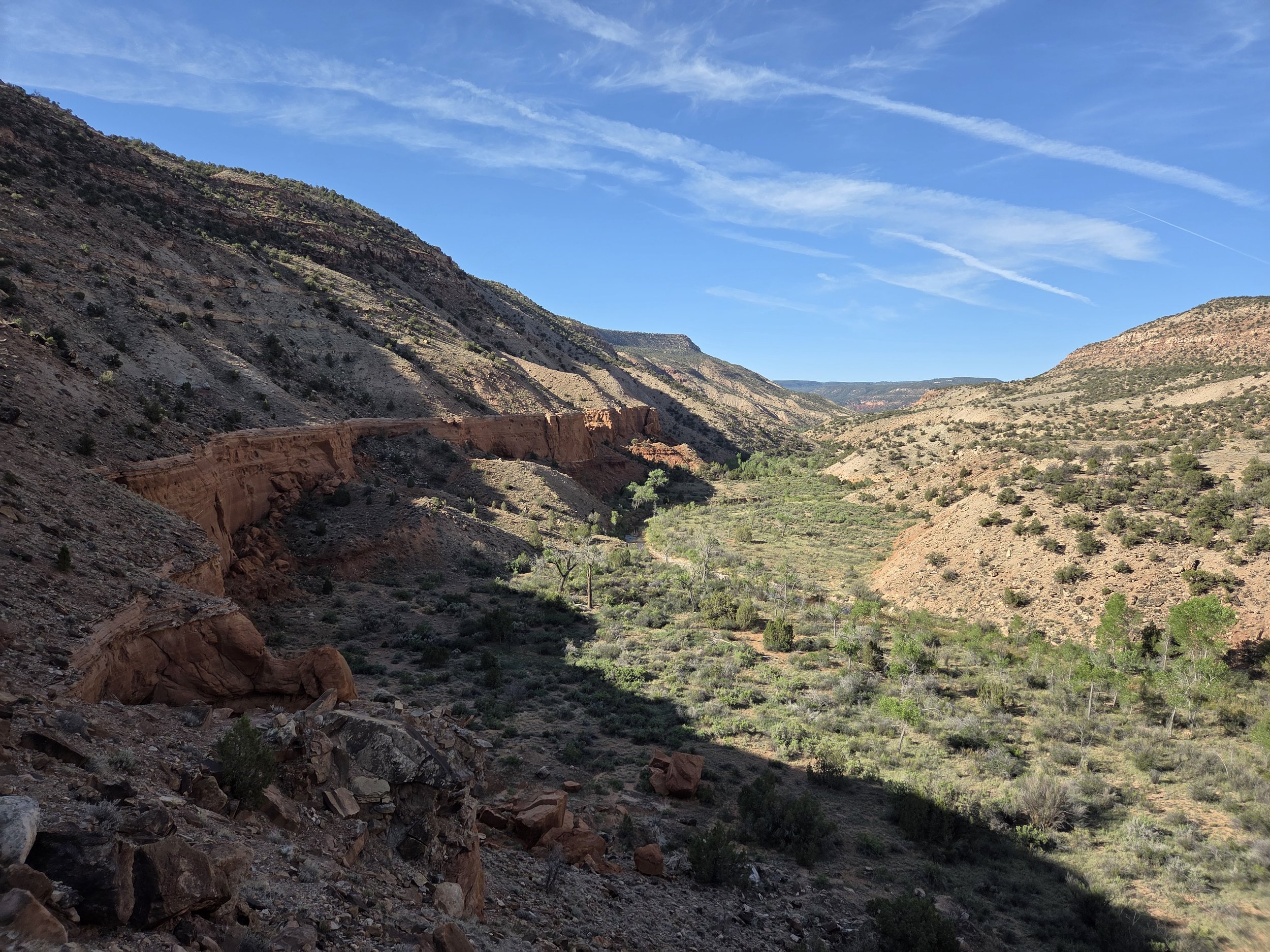
Roubideau Canyon
Permits & Fees
There are no permits for this segment.
If you stay at Iron Springs Campground, it is $16.
Antoine Spring nearby is free.
Water
This segment has appreciably water than earlier, but there are still some long stretches between creeks.
Unreliable springs and cow troughs between Gunnison River and Roubideau Creek.
Ample water going up Roubideau.
Seasonal streams and reliable springs on Uncompahgre Plateau.
Occasional water on road walk into Ridgway.
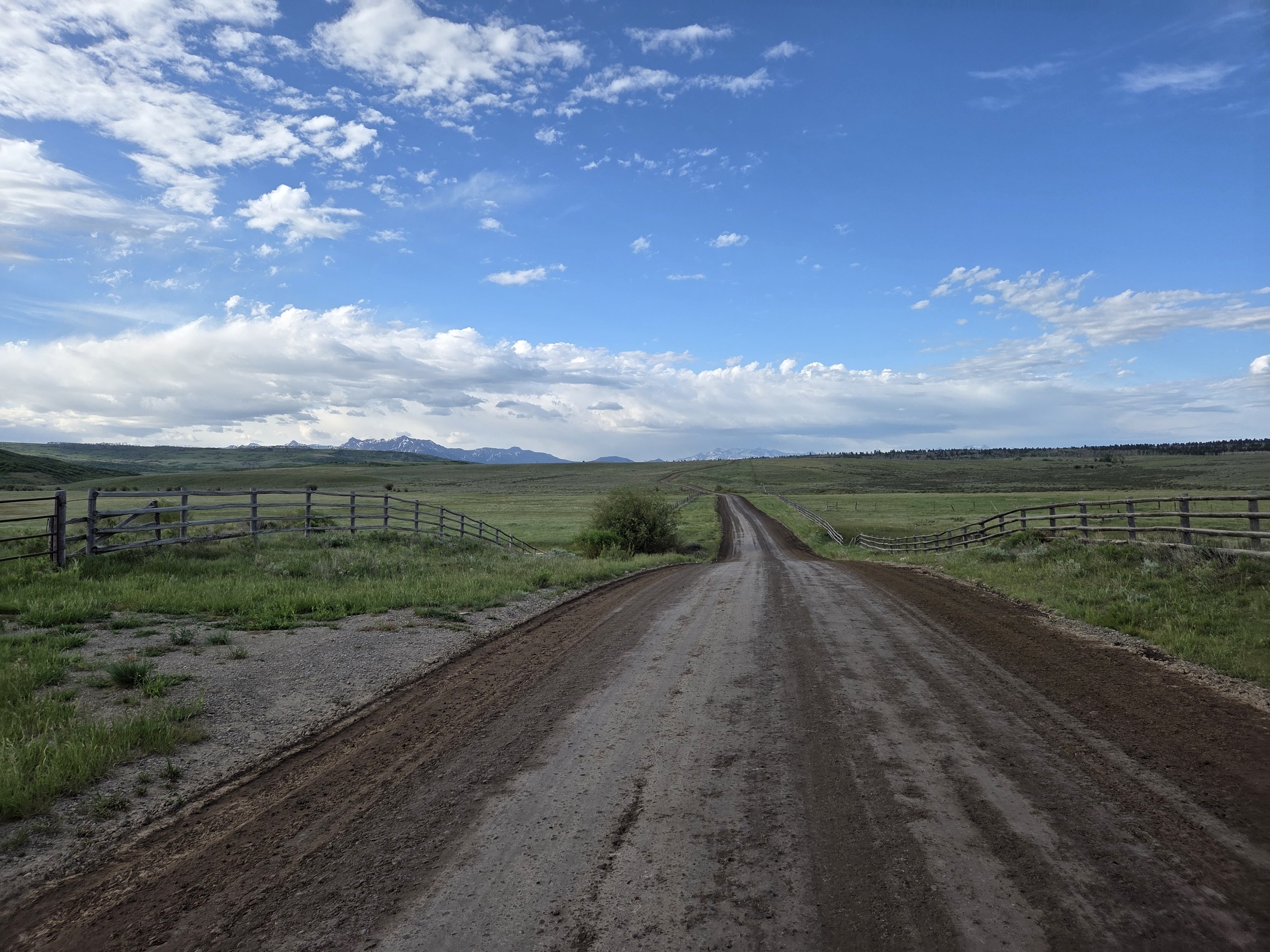
Dave Woods Road
Camping
Other than private property (e.g., along the road to Ridgway), camping is less complicated in this segment.
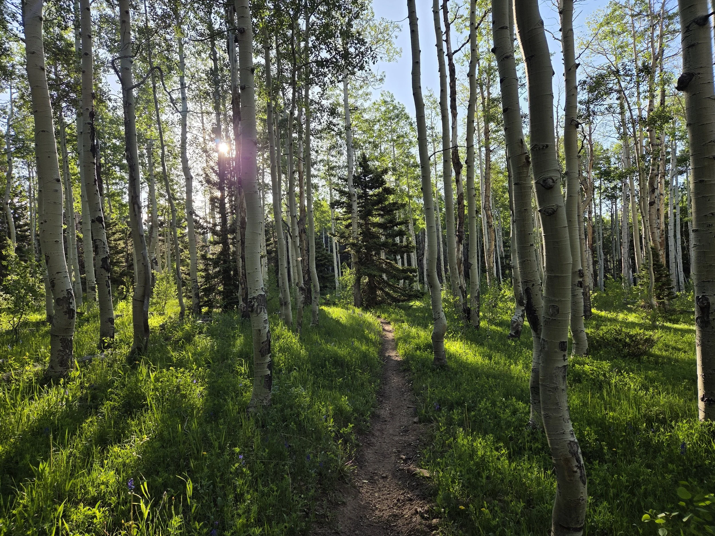
Uncompahgre Plateau
Other Considerations
Don’t Bust the Crust: Please hike and camp on durable surfaces. This area is home to cryptobiotic soils that take years to grow and should not be trampled.
Really hard route finding: Roubideau Canyon has a poorly maintained and very overgrown trail. It will likely frustrate you, and we will revisit other options in the future.
State Highway Road Walk: The end of this segment has a lengthy road walk to Ridgway. Plan on doing it all in one day and be careful with traffic.