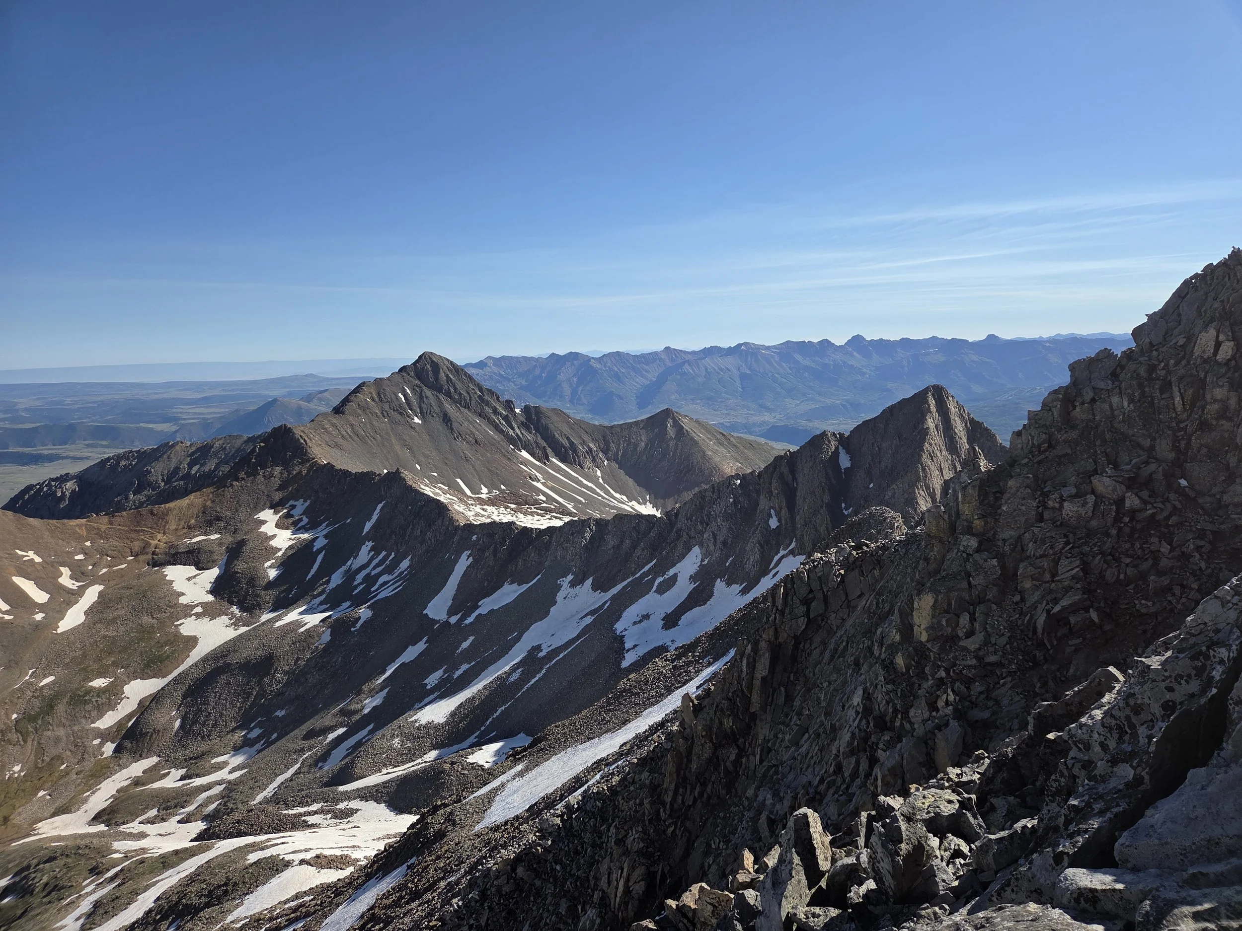
Segment 8
Ice Lake Basin & Lizard Head Wilderness
Distance: 70.4 miles
Vertical: +24579', -24534'
Highlights:
Island Lake
El Diente Traverse
Rico Mountains
Main Challenges:
Technical terrain
Lots of vertical gain
Snow in early and late season
Scrambling Grade: Up to Class 4
Exposure: Very high on El Diente traverse
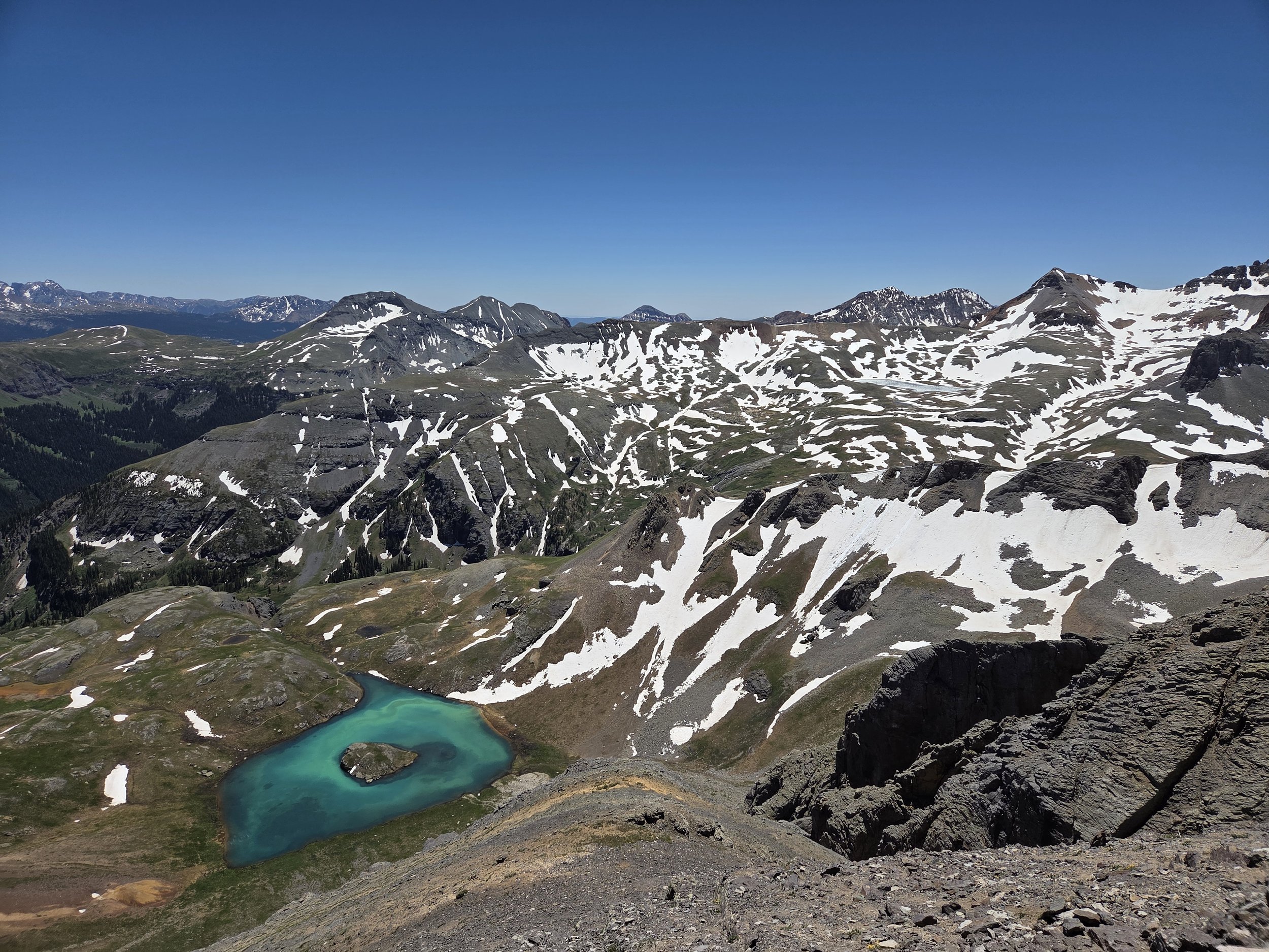
Island Lake, Ice Lake Basin
From Telluride, the GCR takes the Seven Summits Route up Bear Creek Valley to several summits before dropping to the beautiful down of Ophir.
From Ophir, the next objective is Ice Lake Basin, which the GCR accesses from the stunning and seldom-visited Waterfall Canyon. Rather than dropping directly to Island Lake, the route goes up and over US Grant Peak, providing some fun Class 3 scrambles and views.
After touring Ice Lake, the GCR then proceeds to Lake Hope before entering the Lizard Head Wilderness to tackle the Wilson Group of 14ers. A short sidequest up Wilson Peak is doable, though hikers may want to save their energy for the next task at hand—the El Diente Traverse.
From Navajo Basin, the GCR ascends Mount Wilson and follows its scrambly ridgeline to El Diente Peak (a bypass is also provided). From there, the GCR descends the Kilpacker Route before joining the Calico Trail to tour the oft-forgotten Rico Mountains.
This demanding segment finally concludes at the cute town of Rico which has a gas station for resupply.
Loading map…
Logistical Considerations
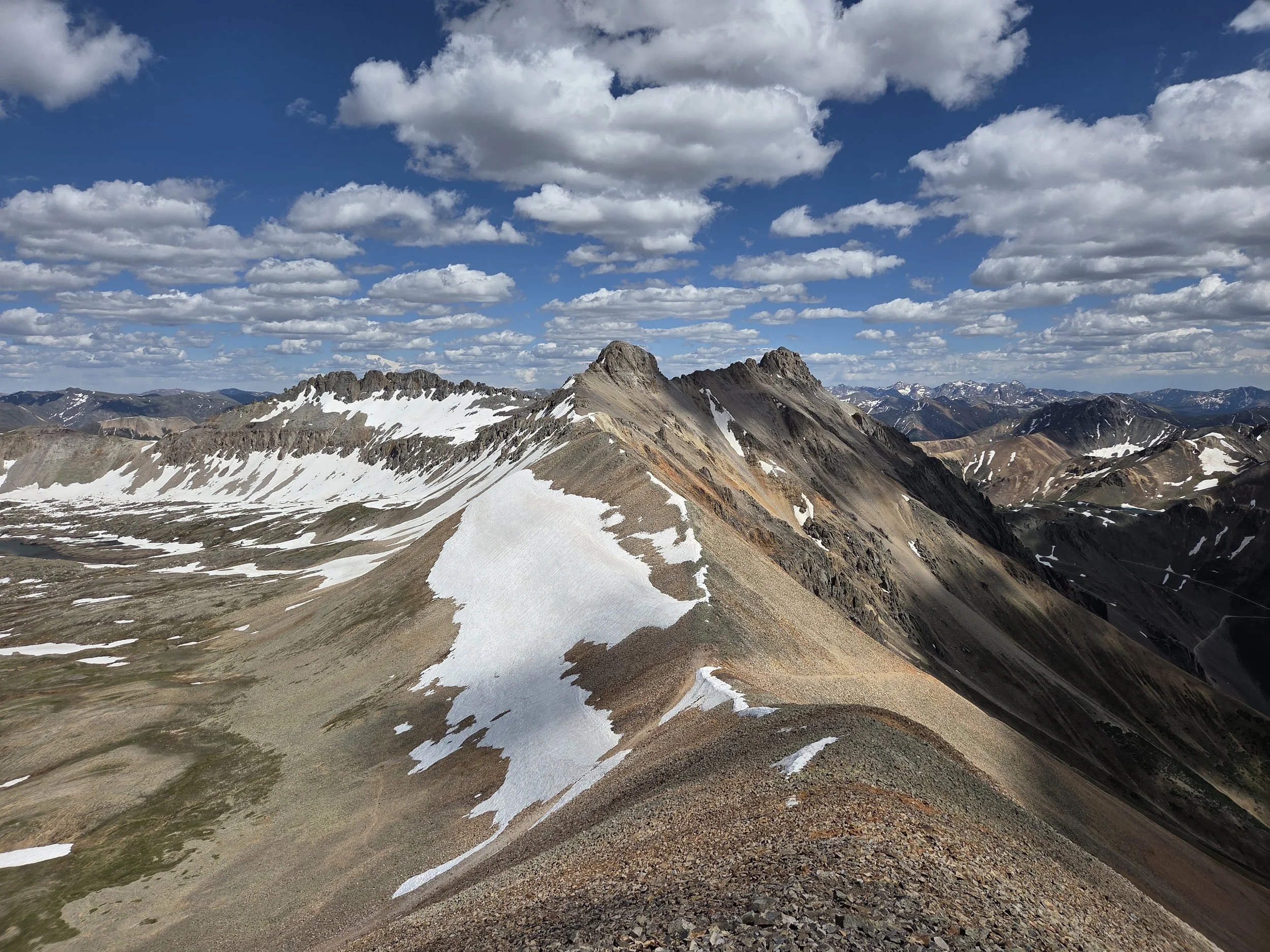
Oscars Pass, near Ophir
Seasonal Closures
We are not aware of any official seasonal closures, but high snow can make sections difficult or impassable without specialized skillsets.
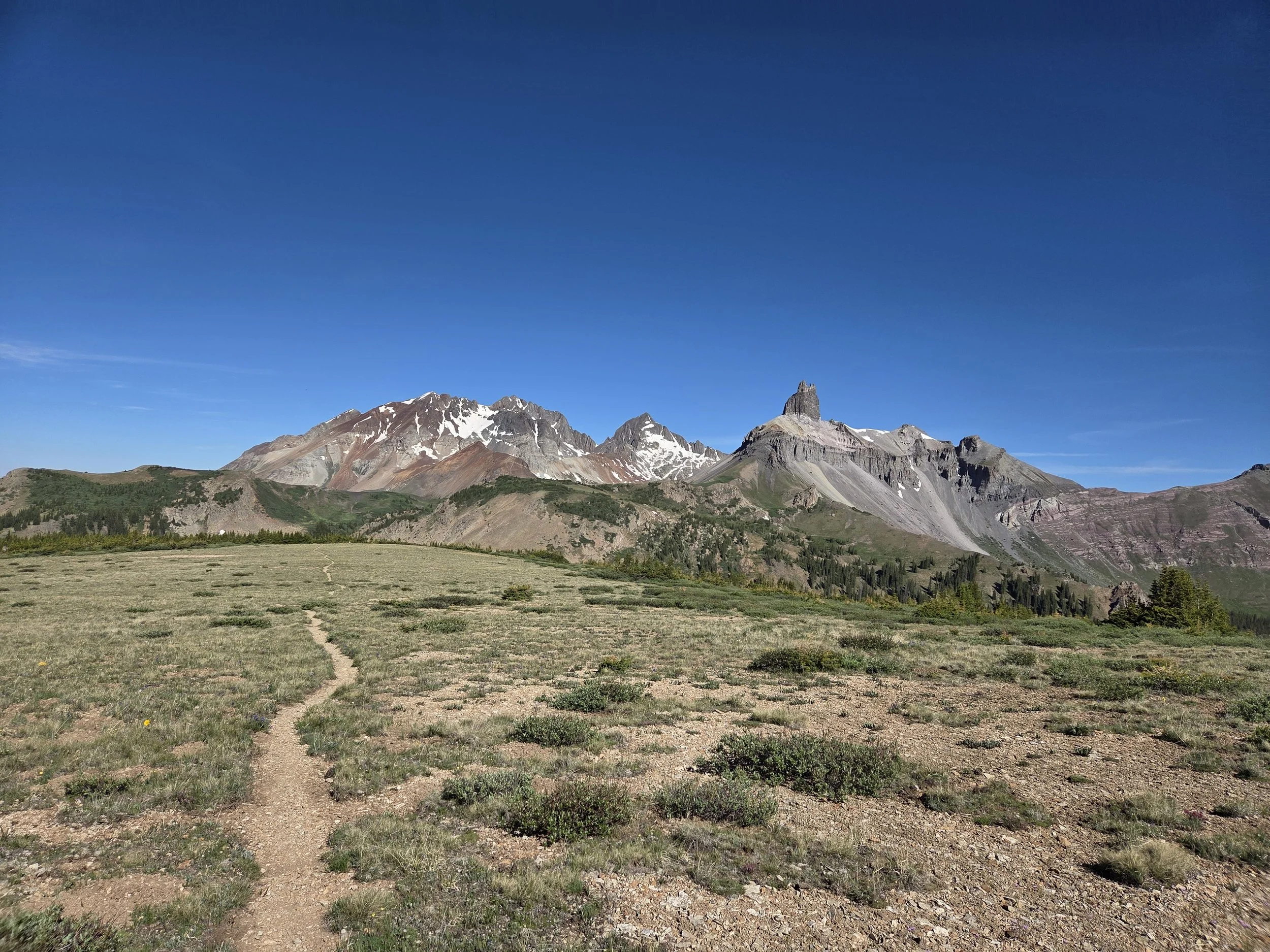
Lizard Head Peak, viewed from Black Face
Permits & Fees
There are no permits or fees for this segment.
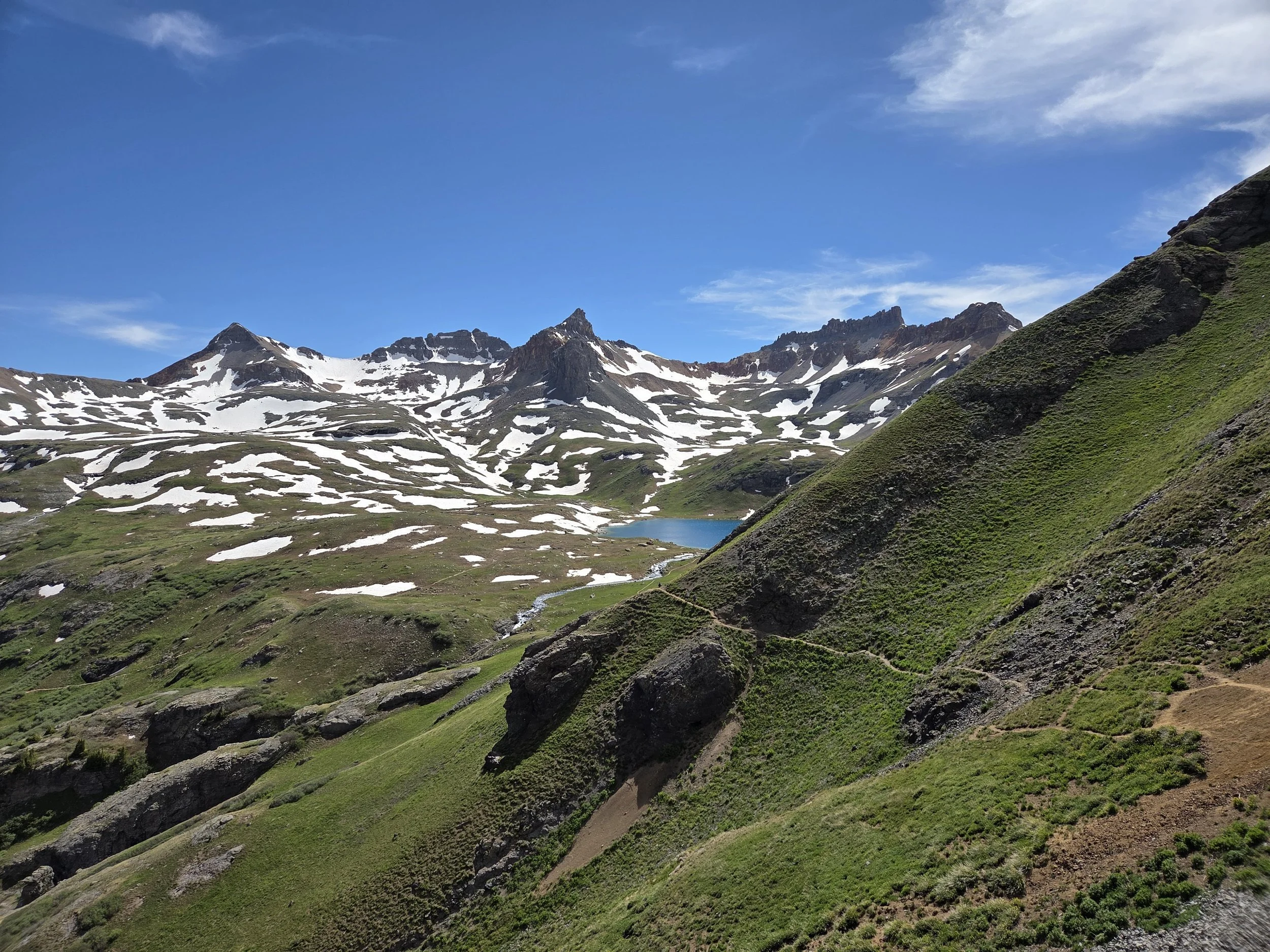
Ice Lake Basin
Water
Water is less problematic in this area, though be mindful of extended stretches above treeline and streams.
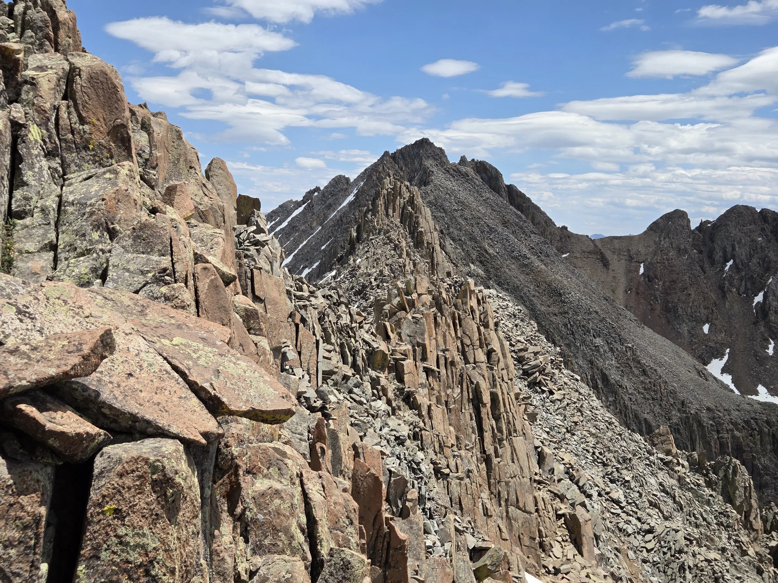
El Diente Traverse
Camping
The Town of Ophir might be willing to let you sleep in their town hall overnight.
contact town manager at manager@ophir.us
Navajo Basin introduced new rules in 2026:
Camping at designated sites only
First come, first served
All near Navajo Lake
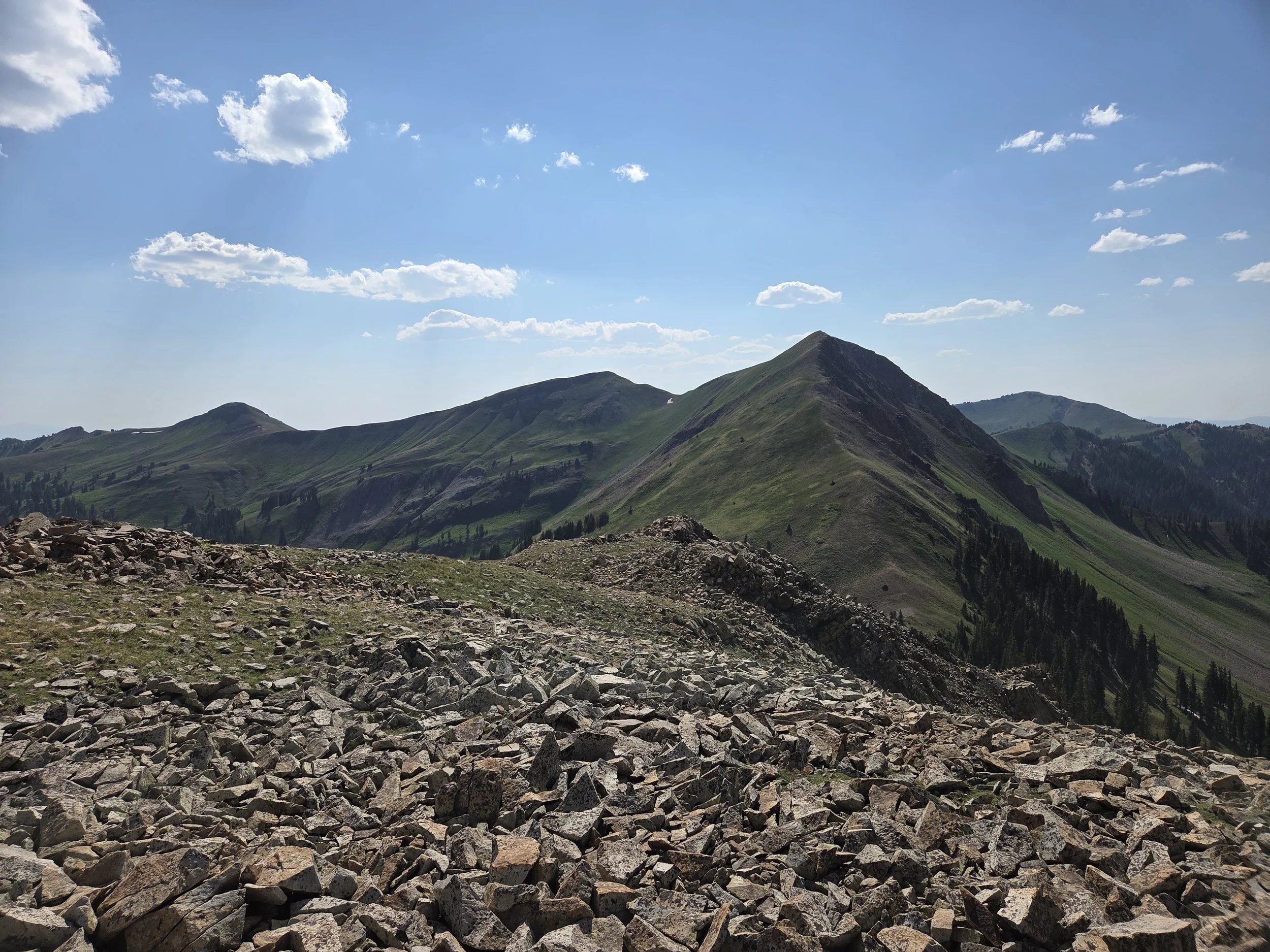
Rico Mountains
Other Considerations
Extreme Scrambling: The El Diente Traverse is Class 4 scrambling with high exposure along a narrow ridge. This is one of the most exposed sections of the entire GCR. Only attempt if comfortable. Otherwise, please take the Navajo Lake Cutoff.
We strongly suggest reviewing and downloading route beta and gpx files from 14ers.com:
Snow Travel: Thru hikers may encounter high snow levels when traversing this section and are encouraged to carry appropriate gear (e.g., microspikes and ice axe), know how to use them, and have backup plans if their planned route is unsafe or impassable.