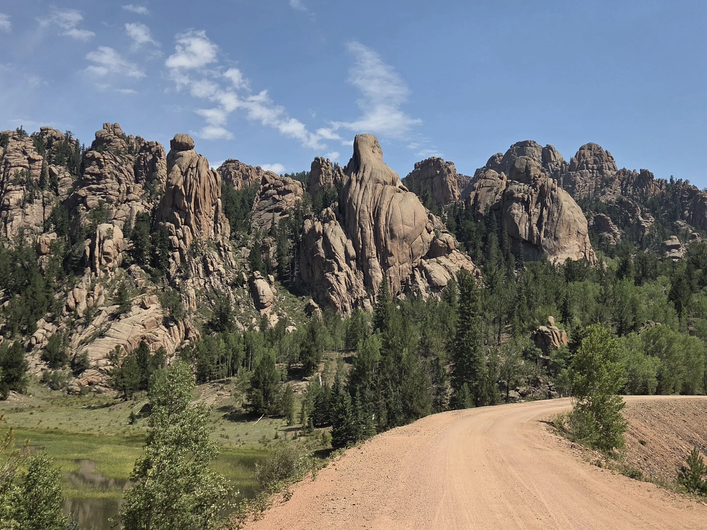
Segment 18
North Cheyenne Cañon & Red Rocks
Distance: 40.2 miles
Vertical: +5684', -9258'
Highlights:
Temple Canyon
Several waterfalls
Kenmuir Quarry
Main Challenges:
Long roads with some trucking traffic
Water carries
Scrambling Grade: All trails / roads
Exposure: Minimal
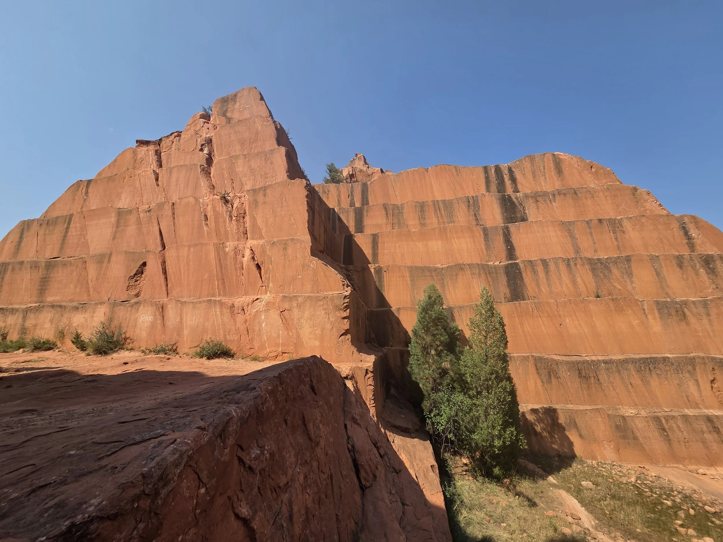
Kenmuir Quarry, Red Rocks
Segment 18 connects Victor to Colorado Springs, the easternmost point of the entire route, via Gold Camp Road and some fun trails in North Cheyenne Cañon and Red Rocks.
The prettiest portion of this segment is Temple Canyon right after entering Pikes National Forest. The route then joins the Ring the Peak Trail before splitting for Saint Marys Falls.
This segment offers several short but worthwhile side quests to waterfalls in North Cheyenne. It then concludes with a tour of Red Rocks and the Kenmuir Quarry before reaching Colorado Springs.
In the future, we might condense Segments 17 & 18 into a single stretch via a cross-country route through Beaver Creek Wilderness Study area. See the map on Segment 17’s page for more info.
Loading map…
Logistical Considerations
Seasonal Closures
We are not aware of any official seasonal closures, but peak summer heat can make this section challenging.
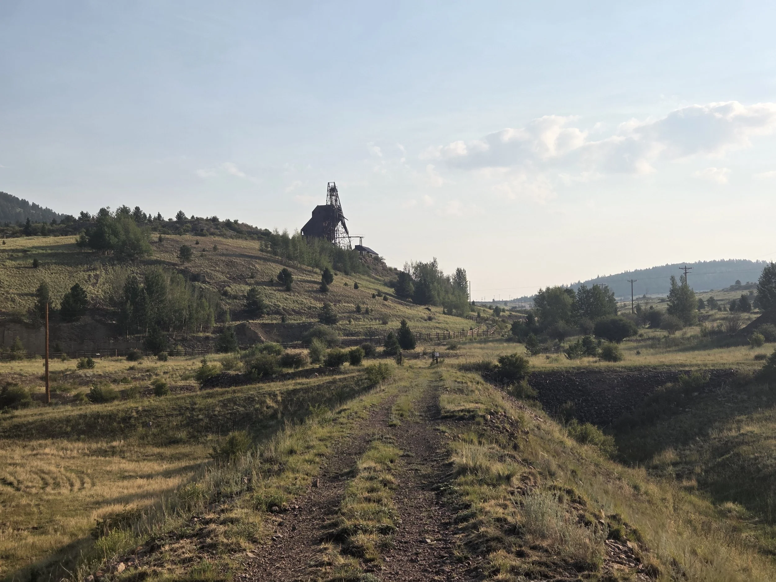
Vindicator Valley Trail
Permits & Fees
There are no permits or fees for this segment.
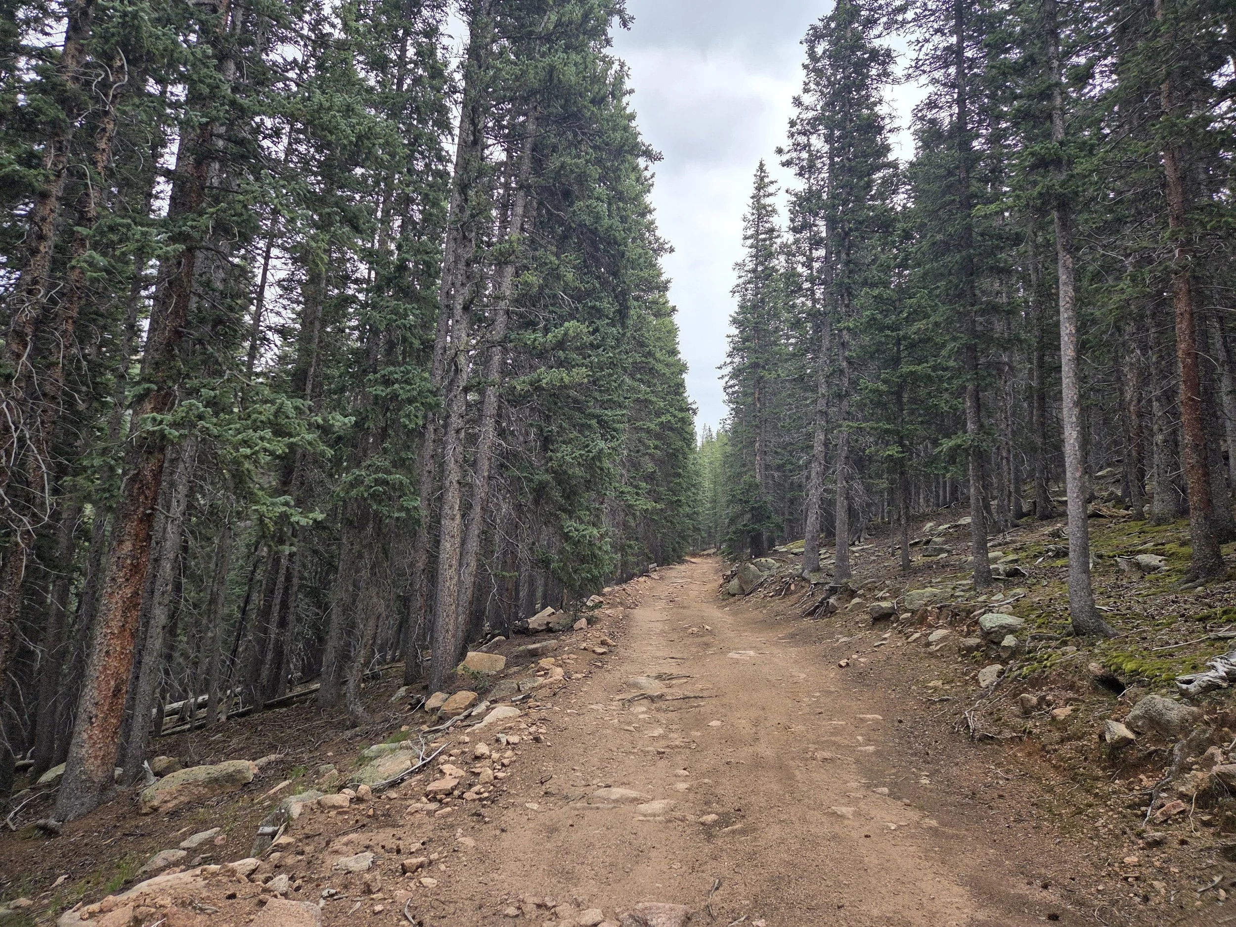
Ring the Peak Trail
Water
Water carries range from short to moderate along this stretch.
There is no water between Bear Creek and Colorado Springs. Review the map for what worked in 2026.
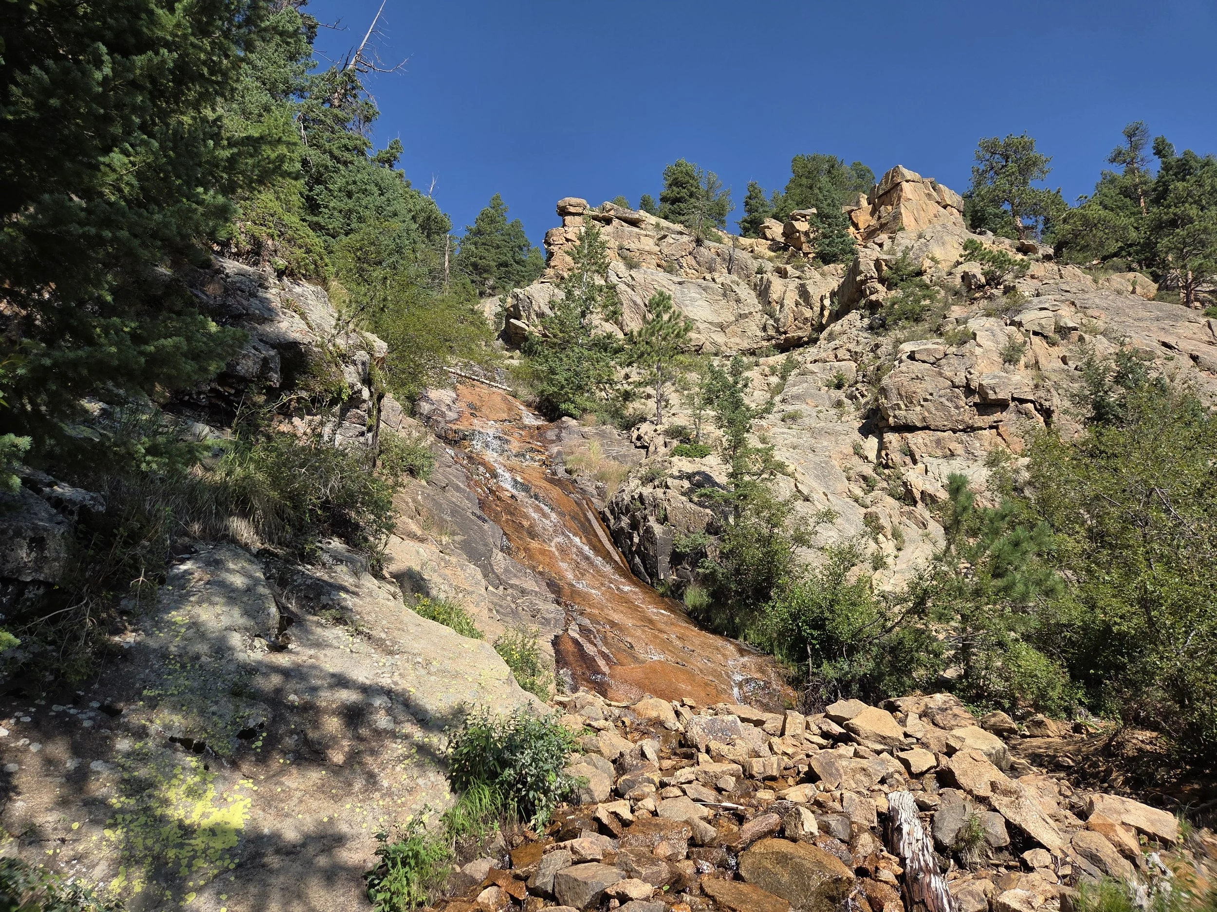
Saint Marys Falls (low water year)
Camping
Car camping is available along Gold Camp Road once in Pikes National Forest and along the Ring the Peak Trail.
No camping in North Cheyenne or Red Rocks.
Other Considerations
Extreme Heat: This segment can get extremely hot in the summer.
Tunnel Crossing: Gold Camp Road has a tunnel with signage that says no foot traffic. You can either scramble around it or proceed at your own risk.